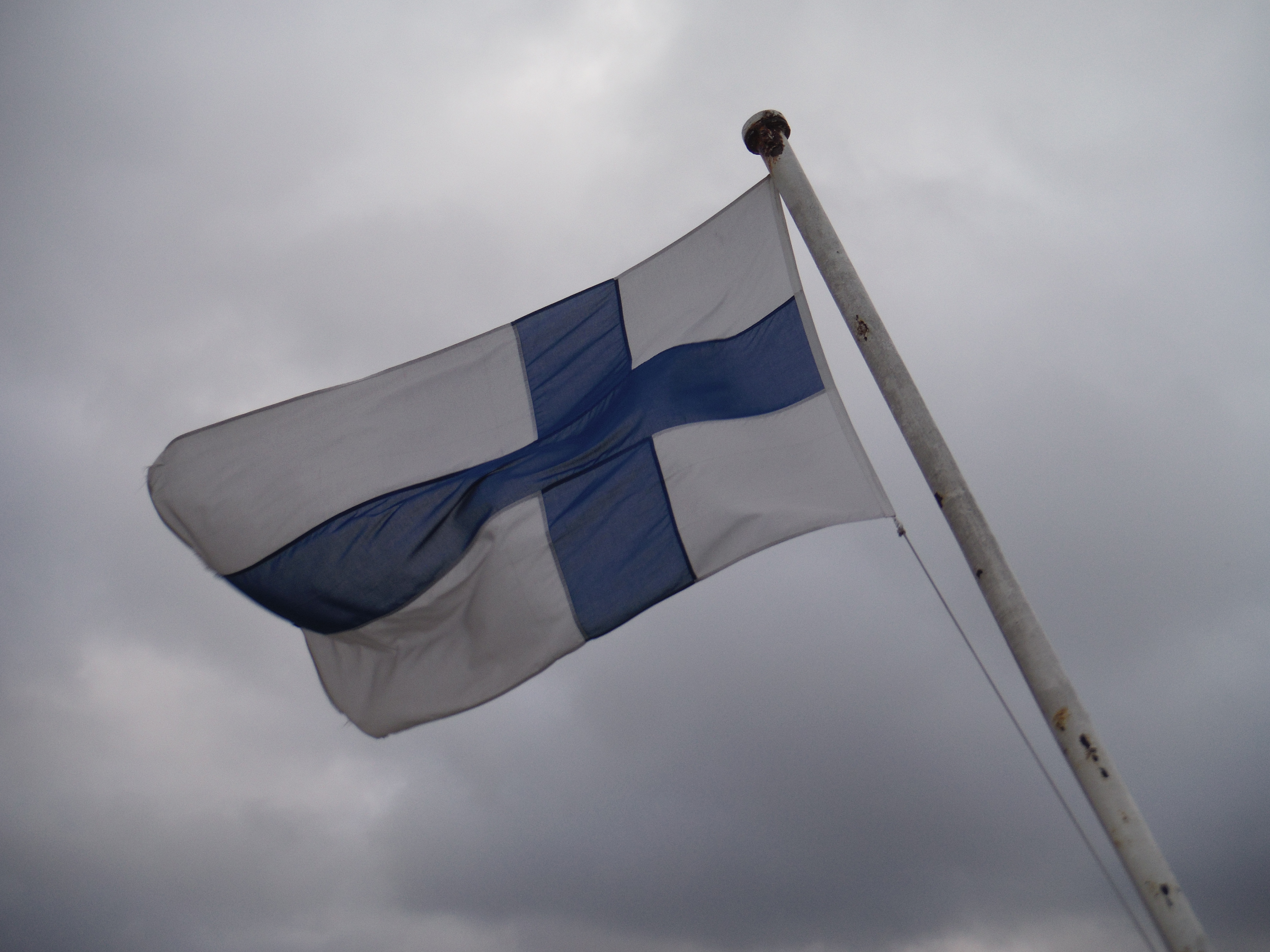
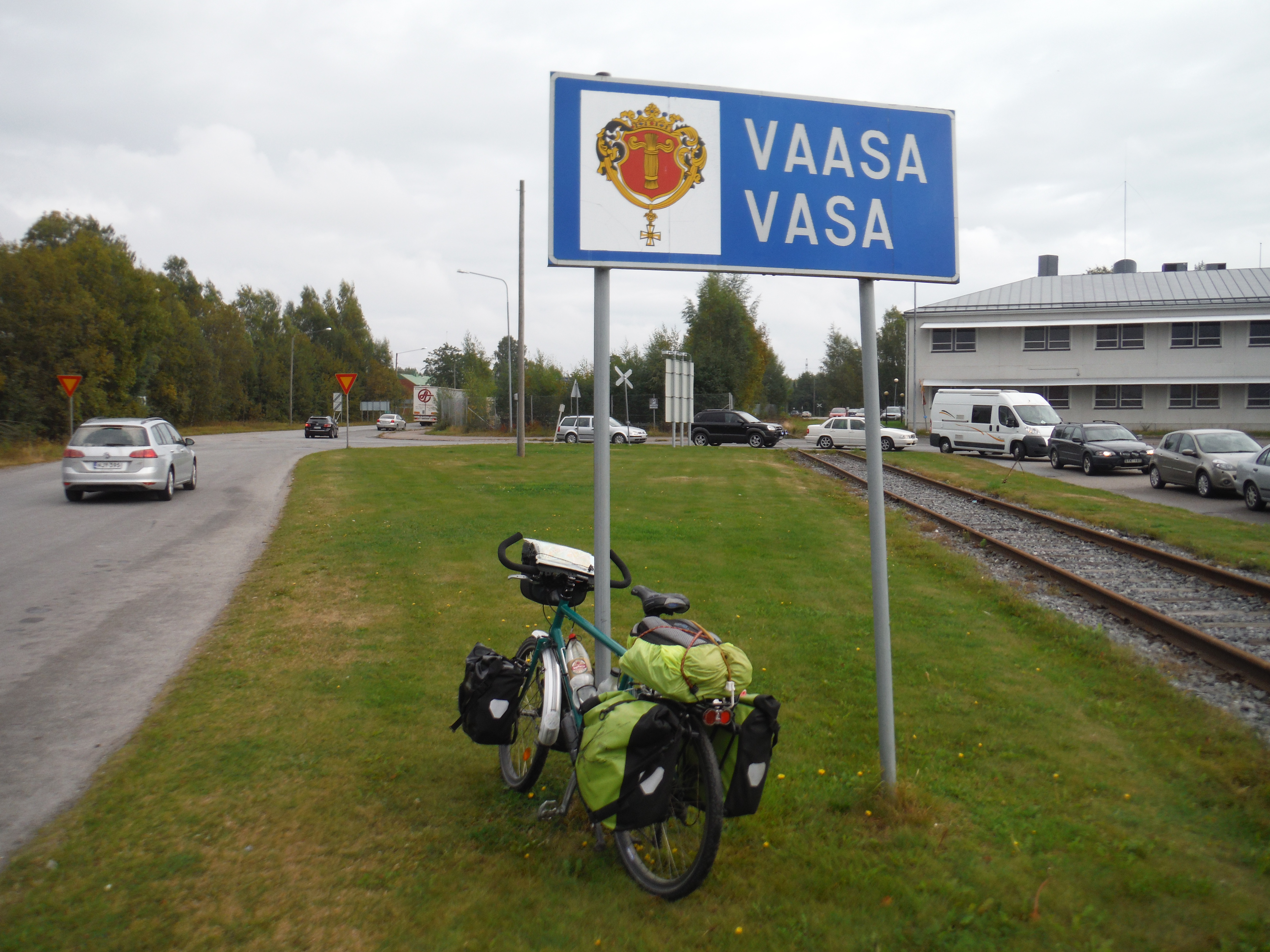
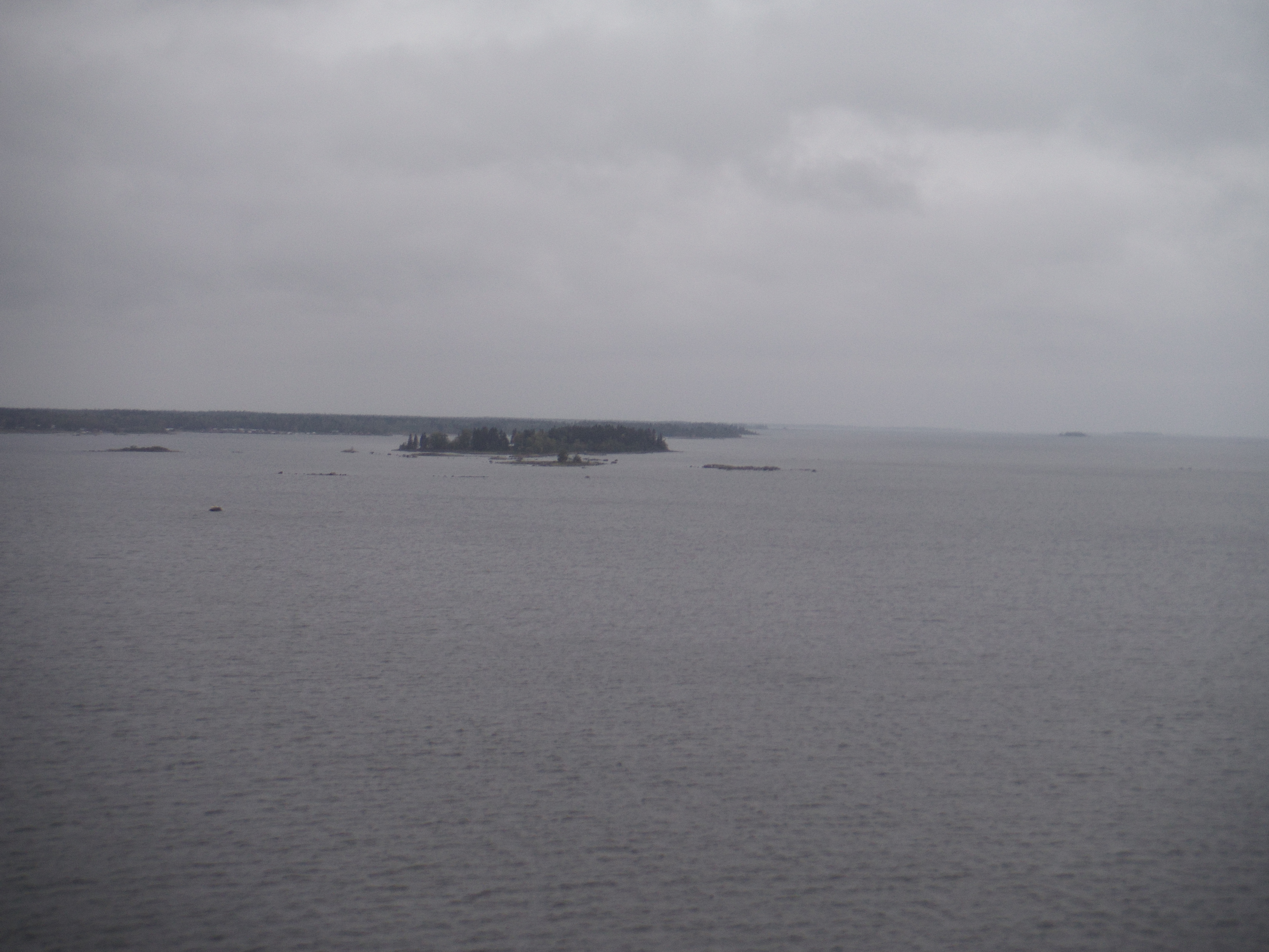
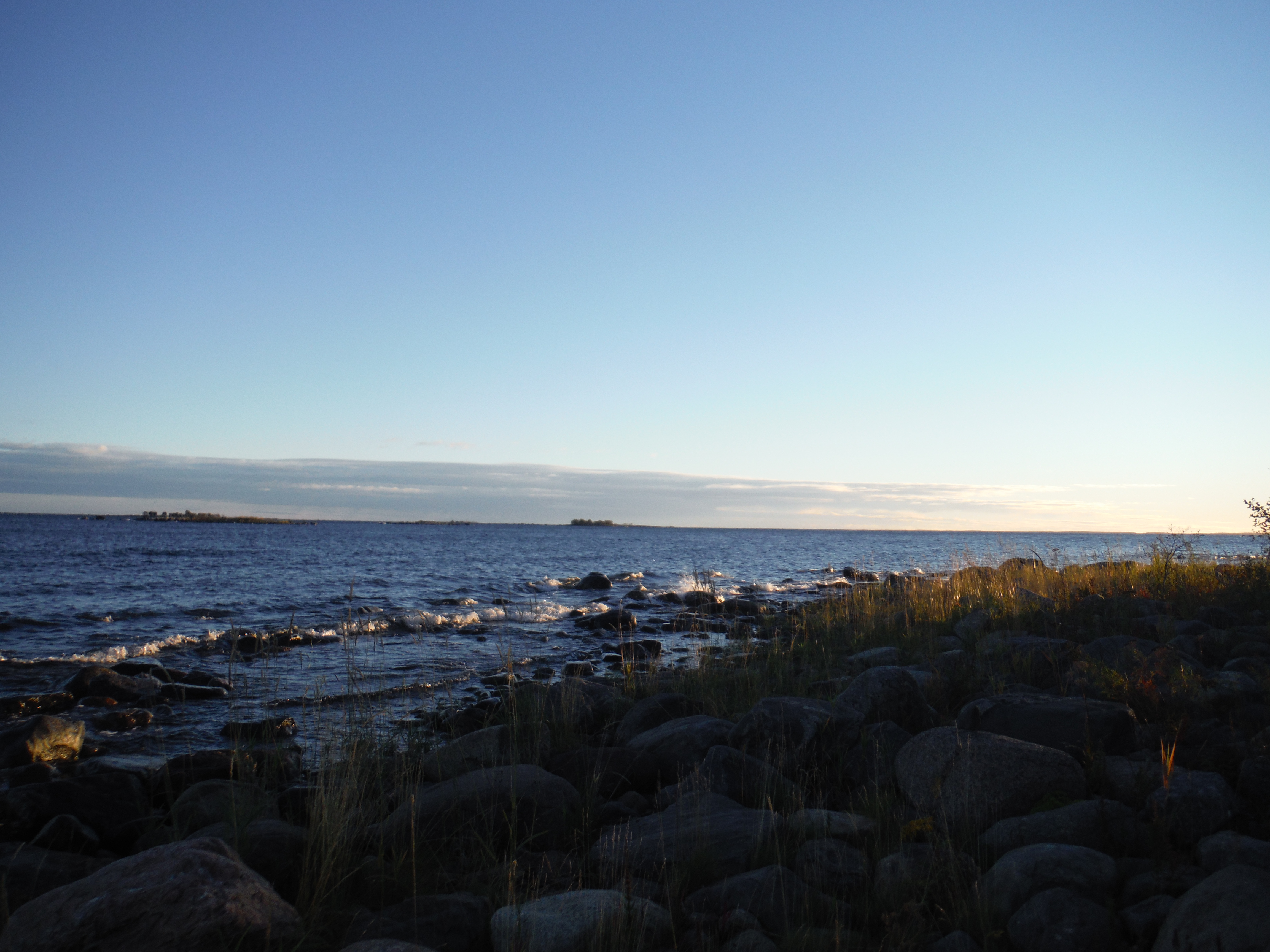
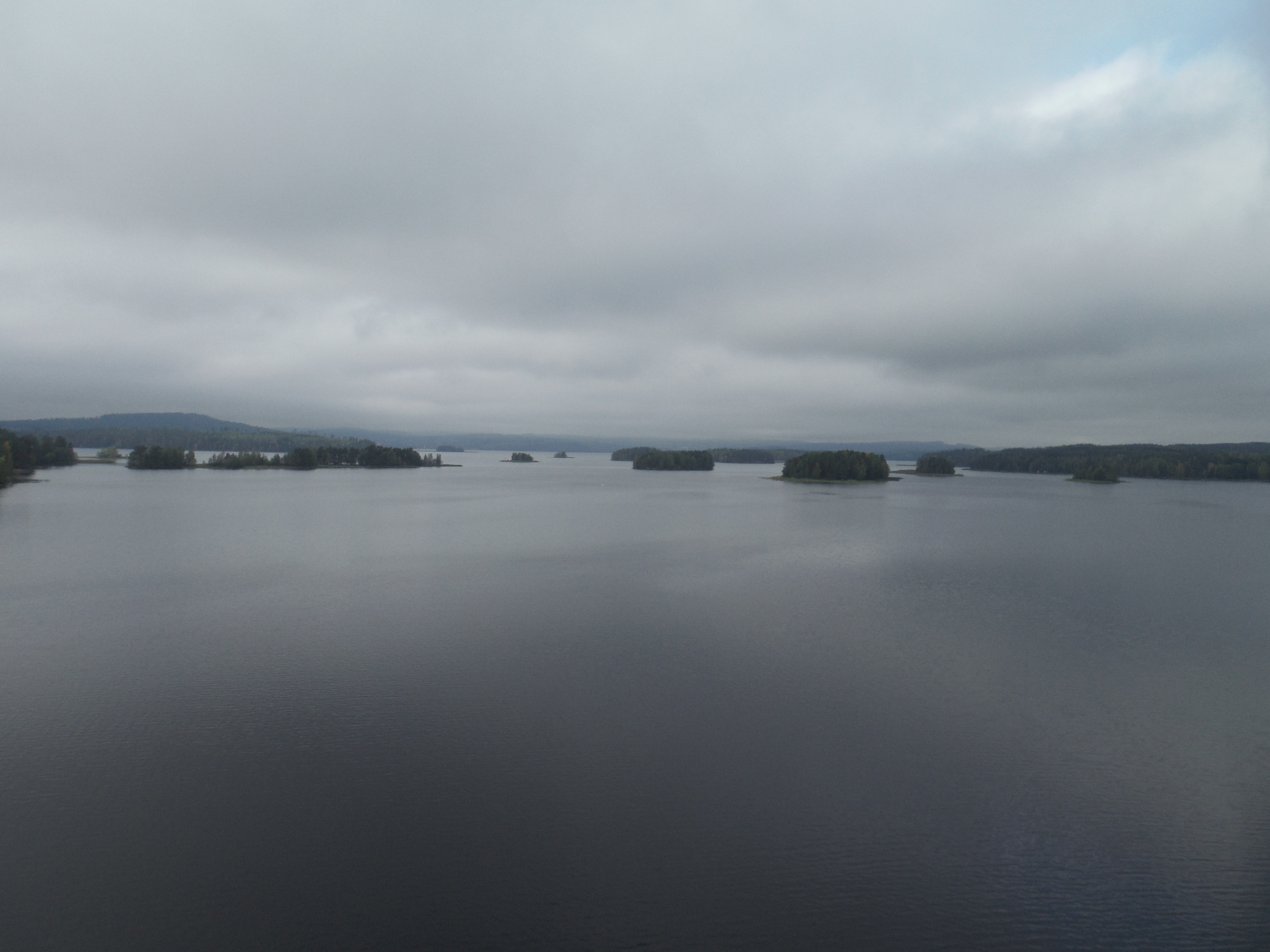
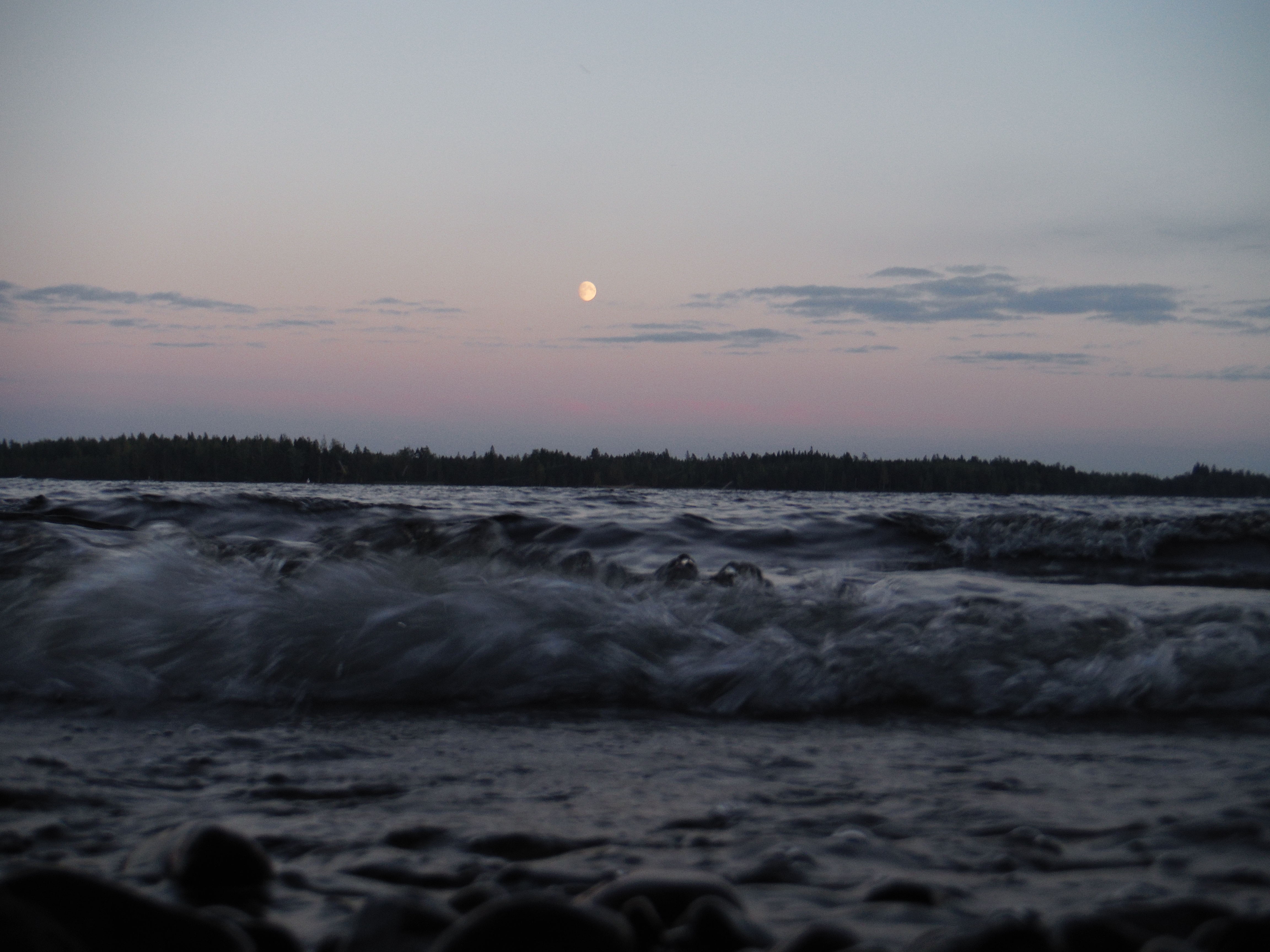
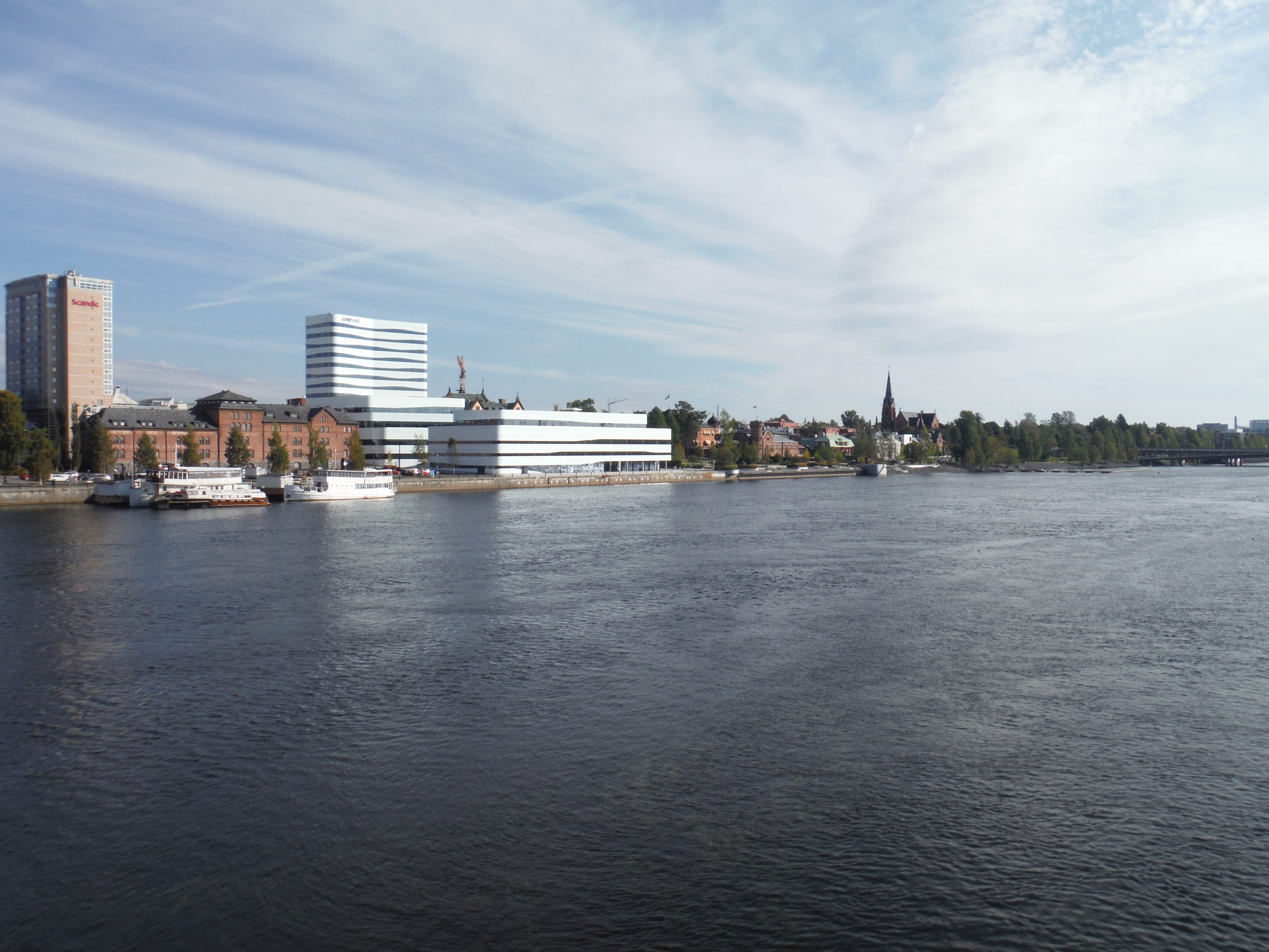
September the 16, I arrive in Fliland. I have contacted someone from CoushSurfing in Vaasa. She provided me a great welcome in Finland, talking about the country, basics of the languages, sauna and bath in the see, local beers… I decided to go and visit the Kvarken archipelago 30 km away. Those islands has a particular geography because the uplift caused by the melting of the glacier that was there during the last ice-age is there very quick (8mm / year ). These are formed by the front moraines of the glaciers formed where those ended into the see. This leads to straight lines of elongated islands.
When I arrive on the archipelago, the rain begins to fall. I go to a small open cabinet on the national park, and spend the night there. At the morning the rain is still falling and I can’t see the islands… I decided to spend a rest day here, hoping no rain for tomorrow. And on saturday morning the sun is shining !
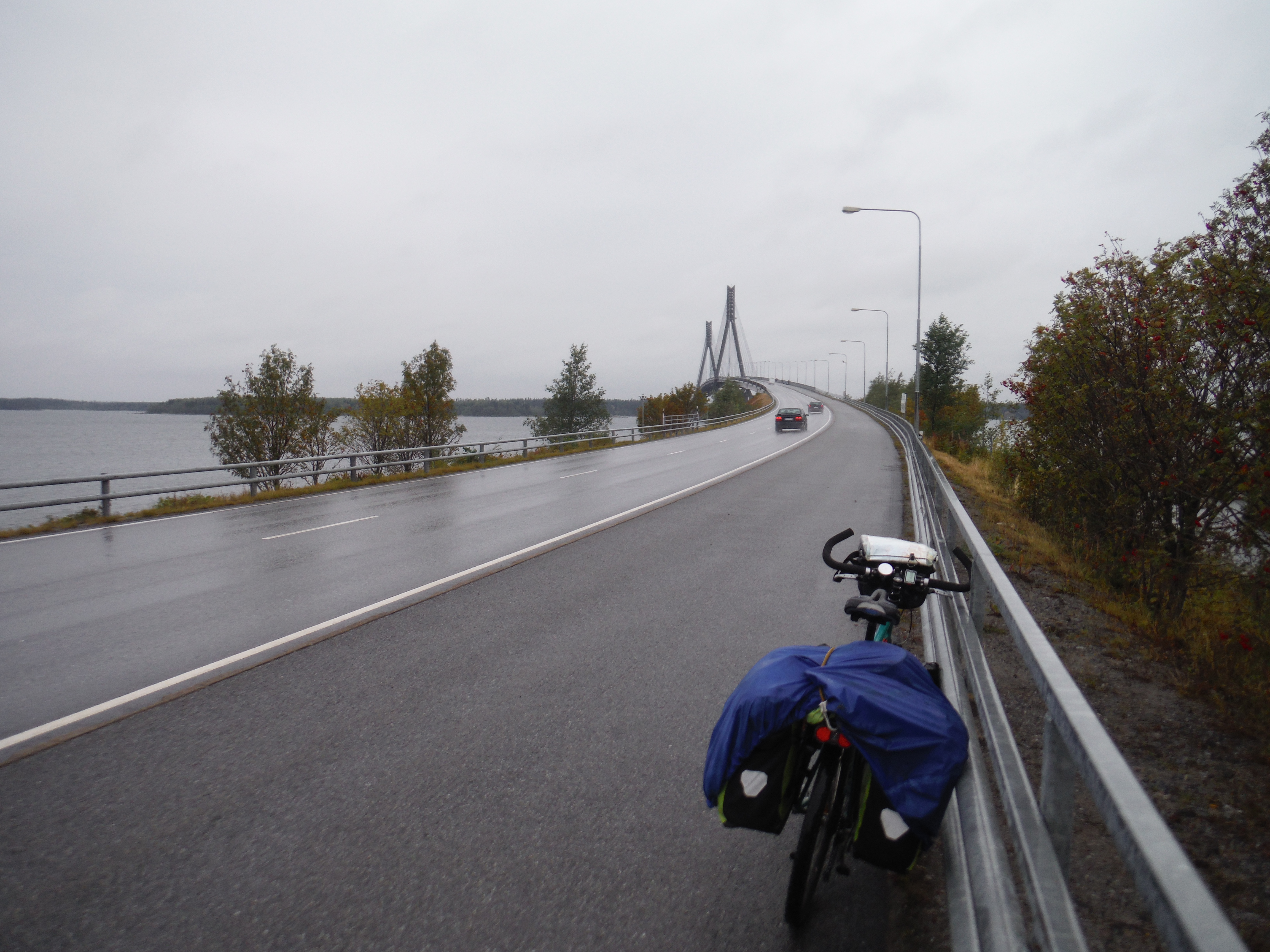
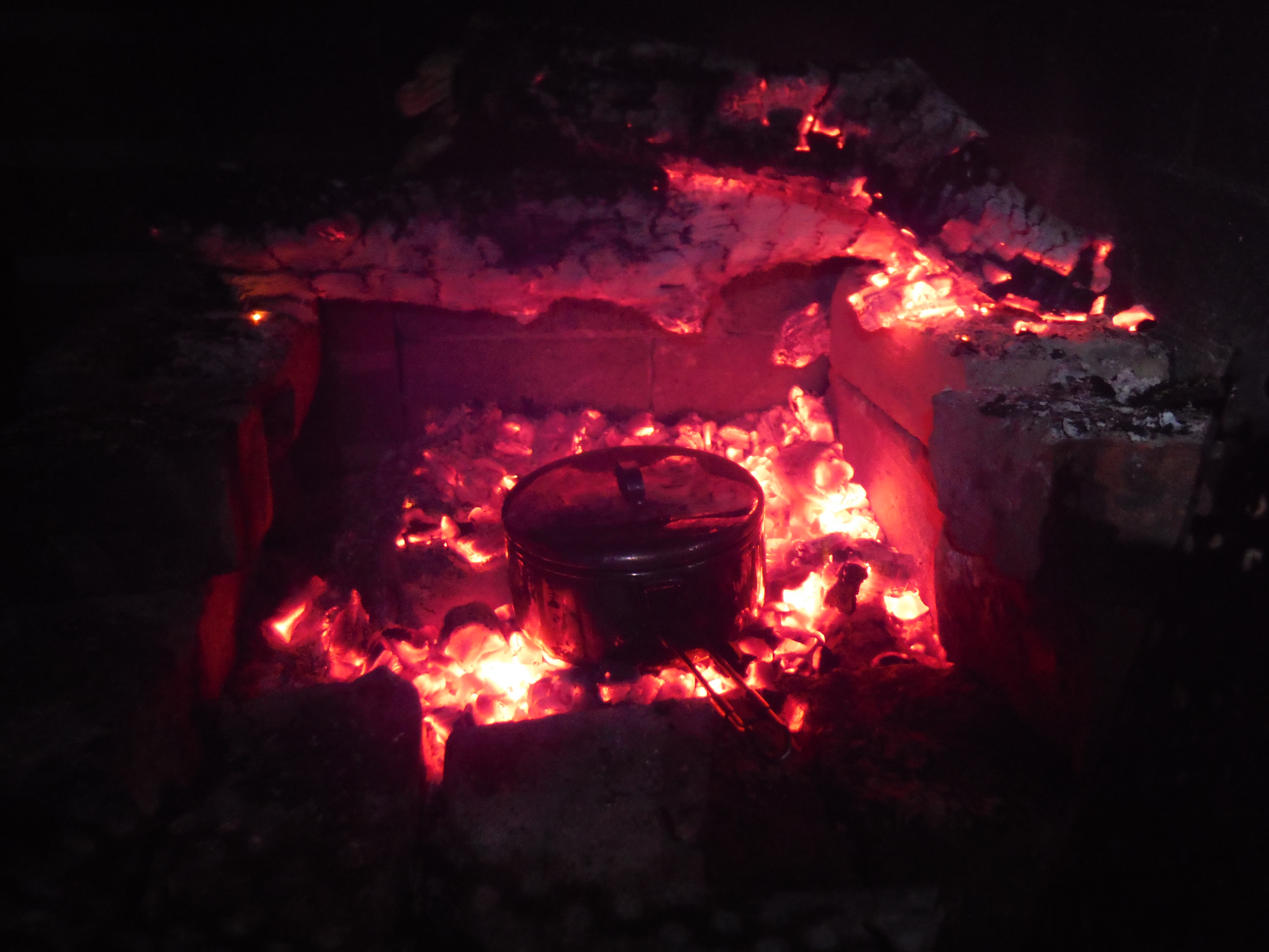
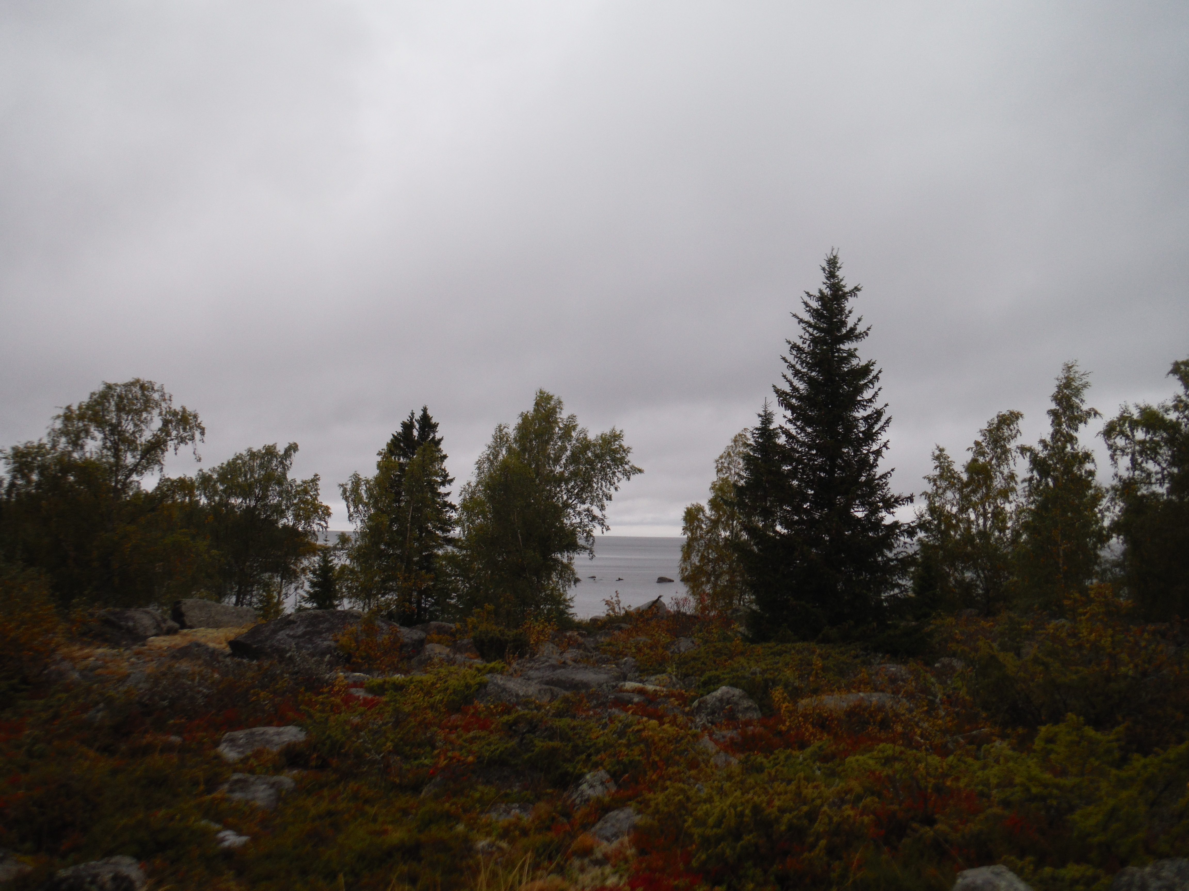
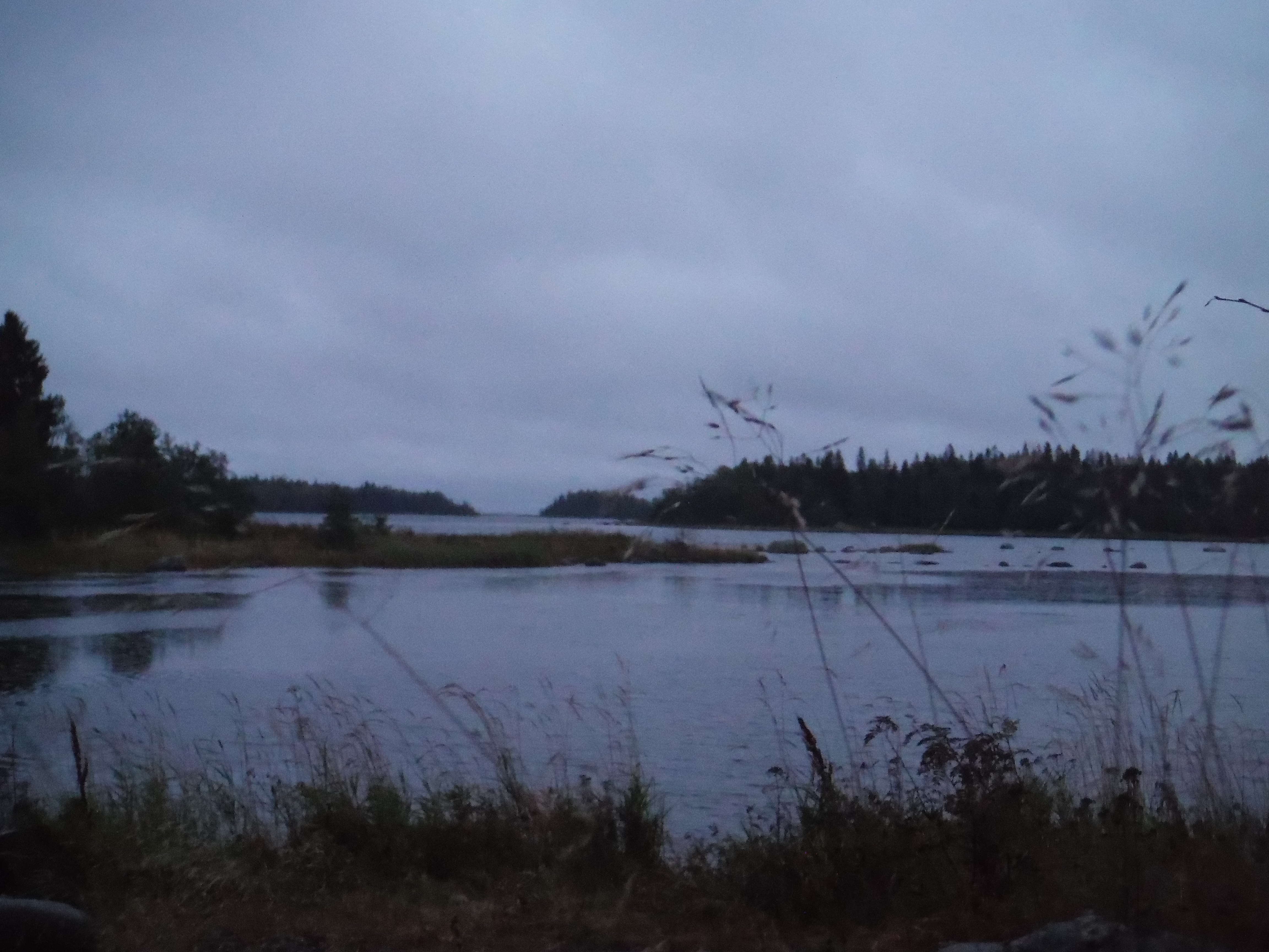
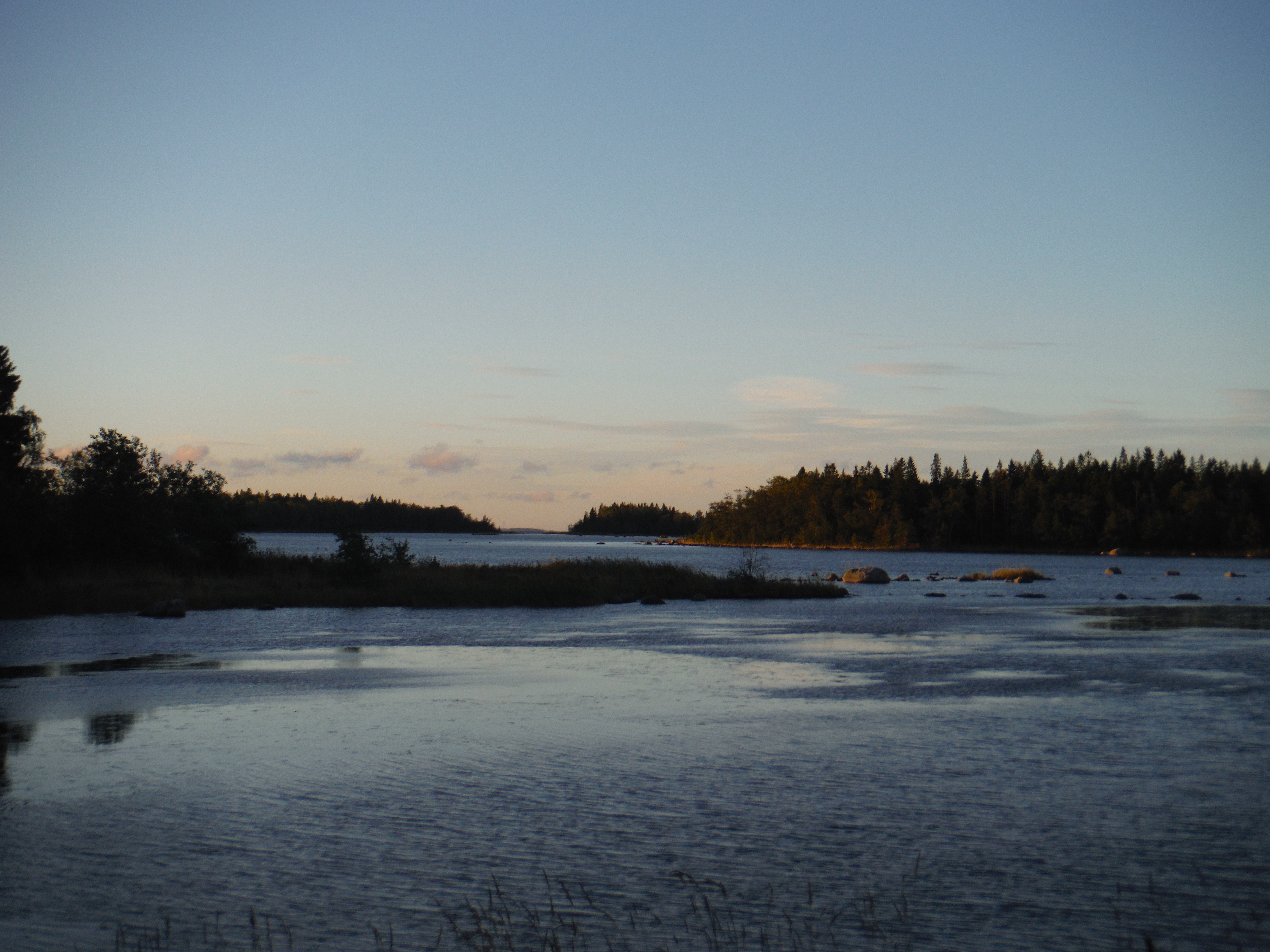
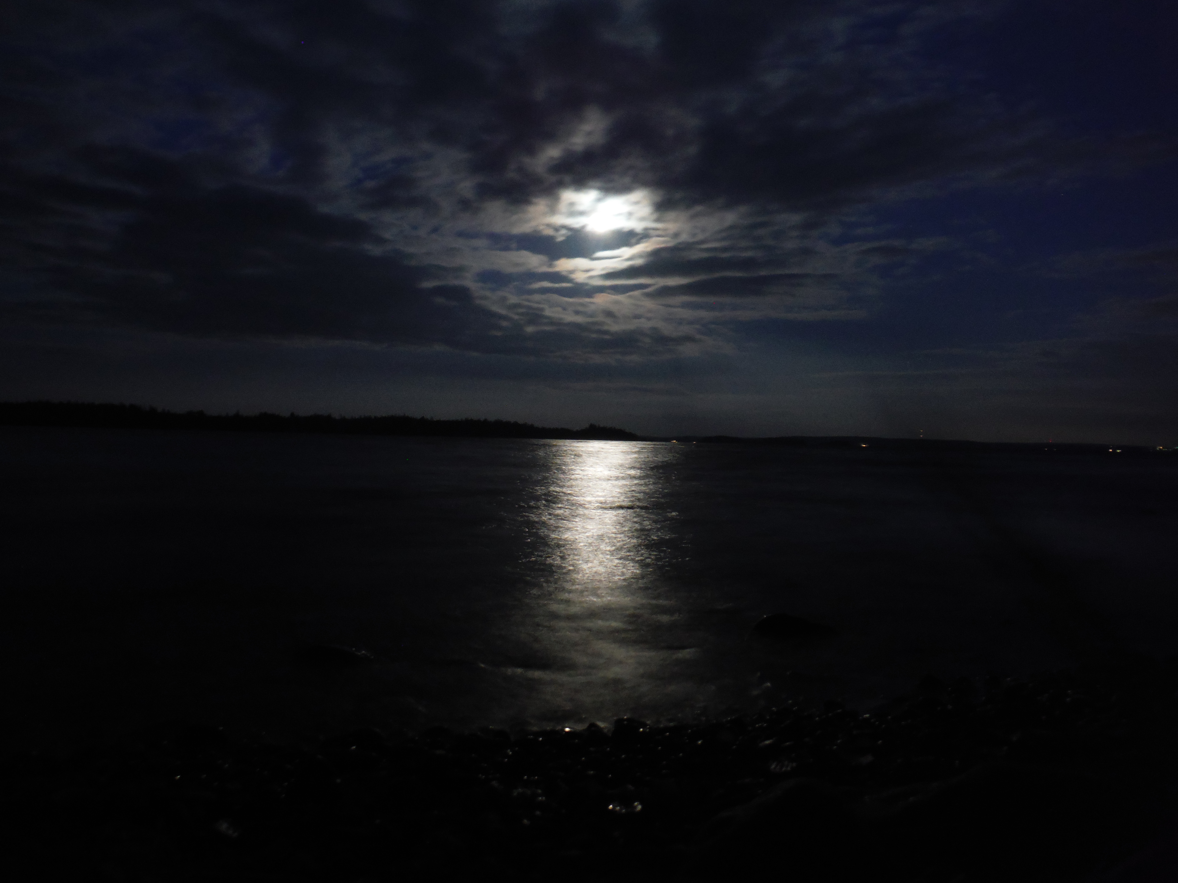
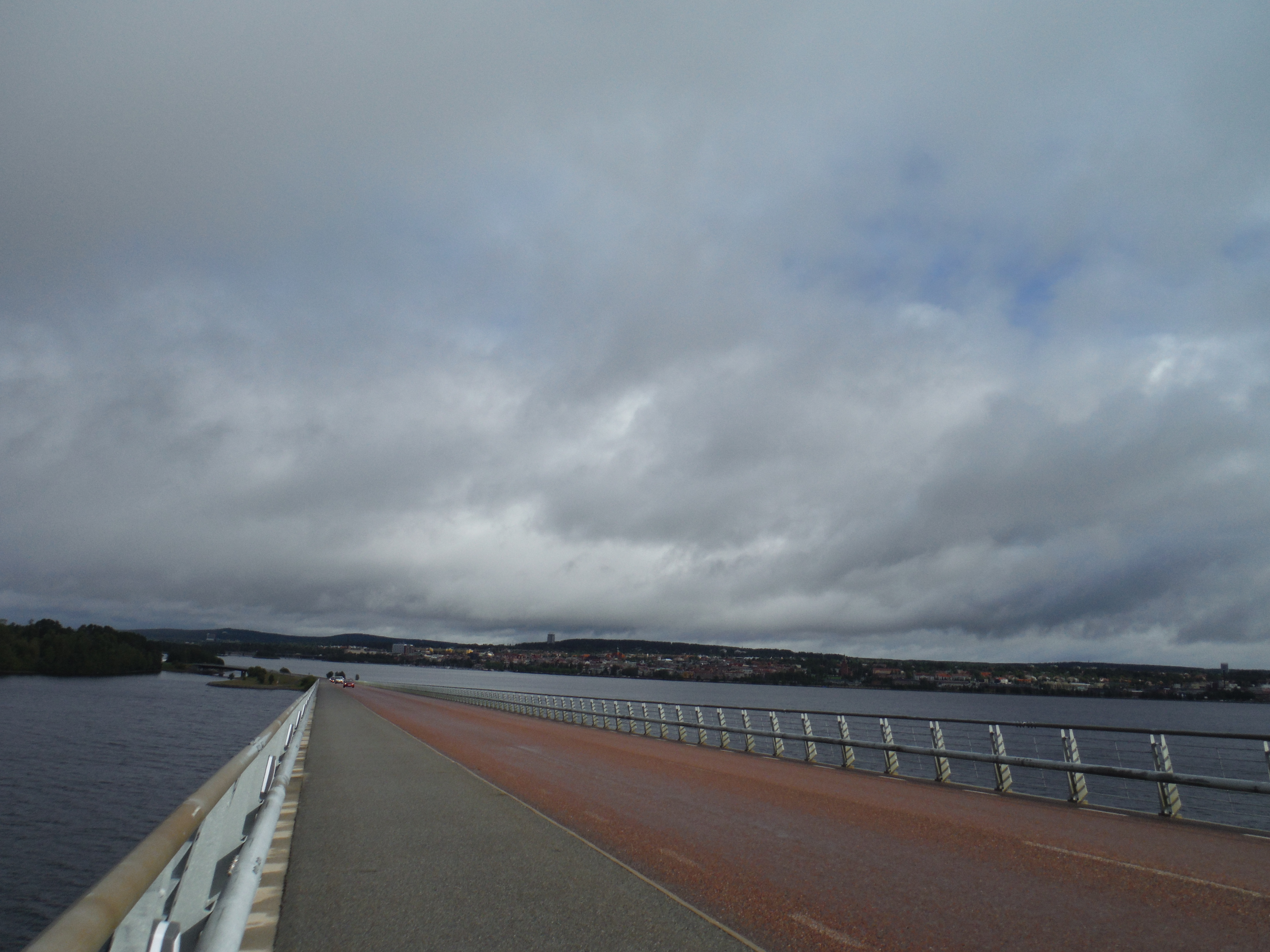
VaasaGoing to Kvarken Archipelago, with the rain.Some islands, from the bridgeMaking a soupe in a national park cabin, rain is falling outside…I spend a day at the cabine… just rain outside.The bog in front of the cabin at nightThe bog in front of the cabin… at the morning.The rain is gone, the sea is blue and it’s windyThe cabineKvarken archipelago, we can see very well the elongated islands.
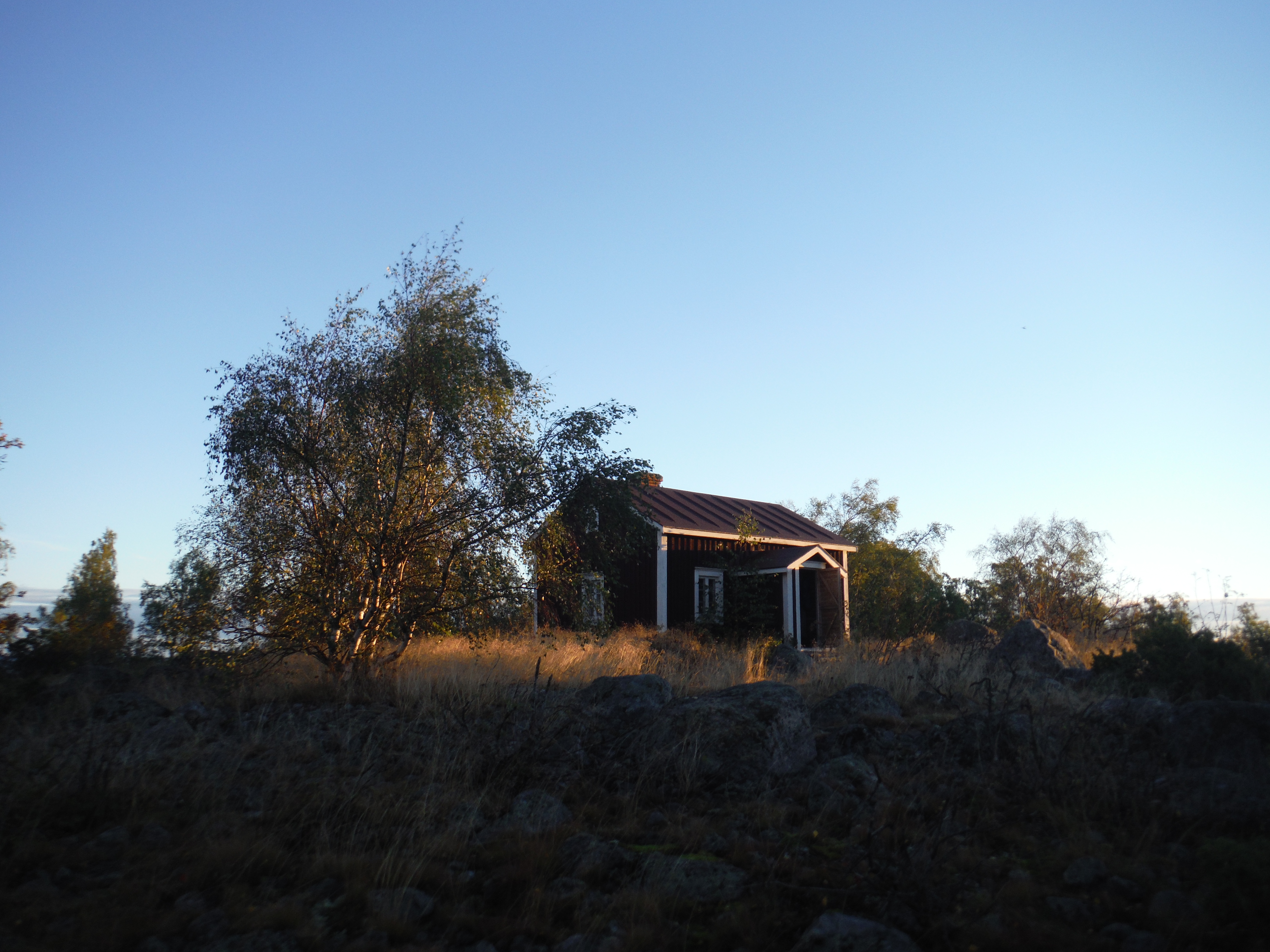
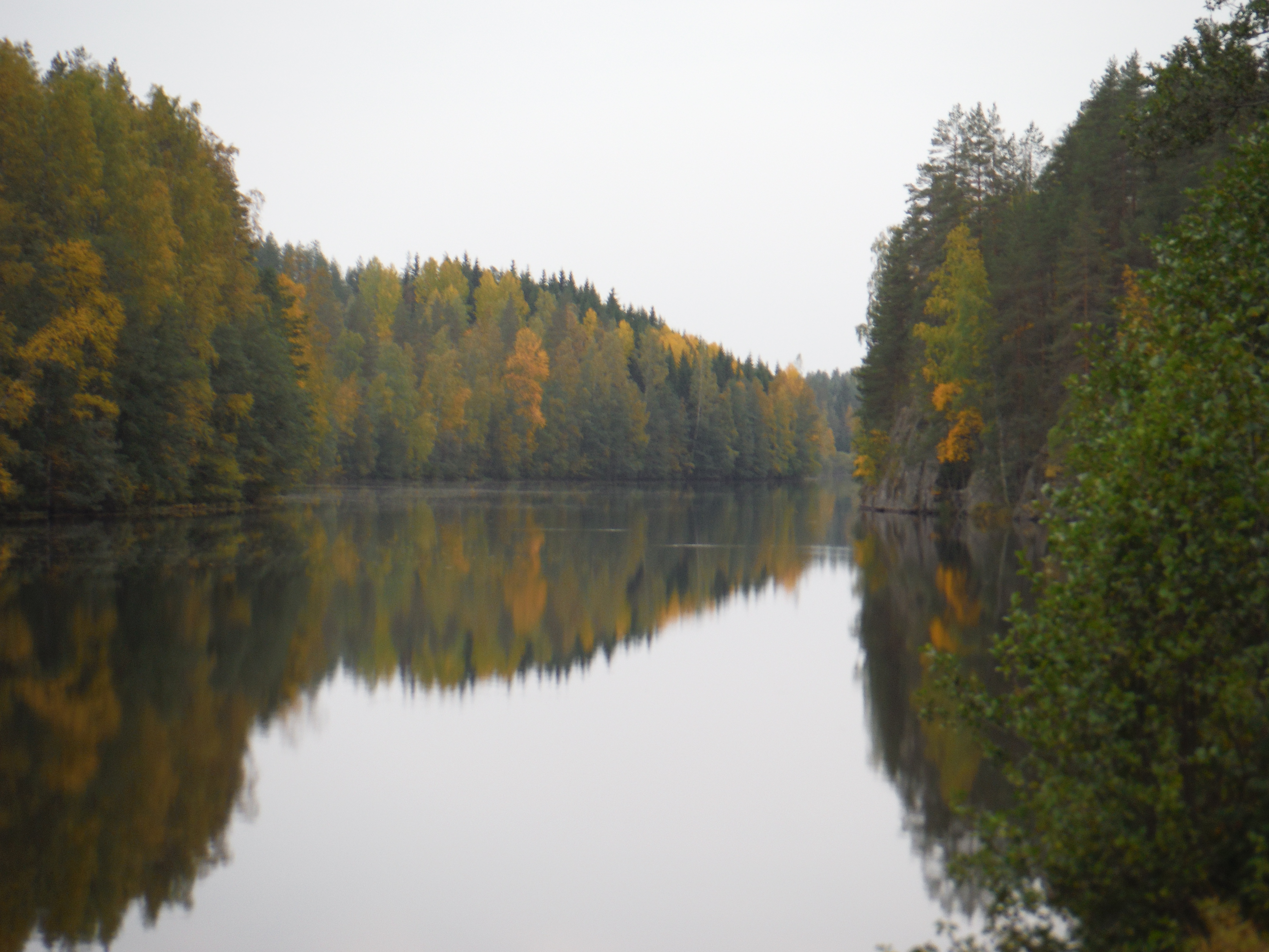
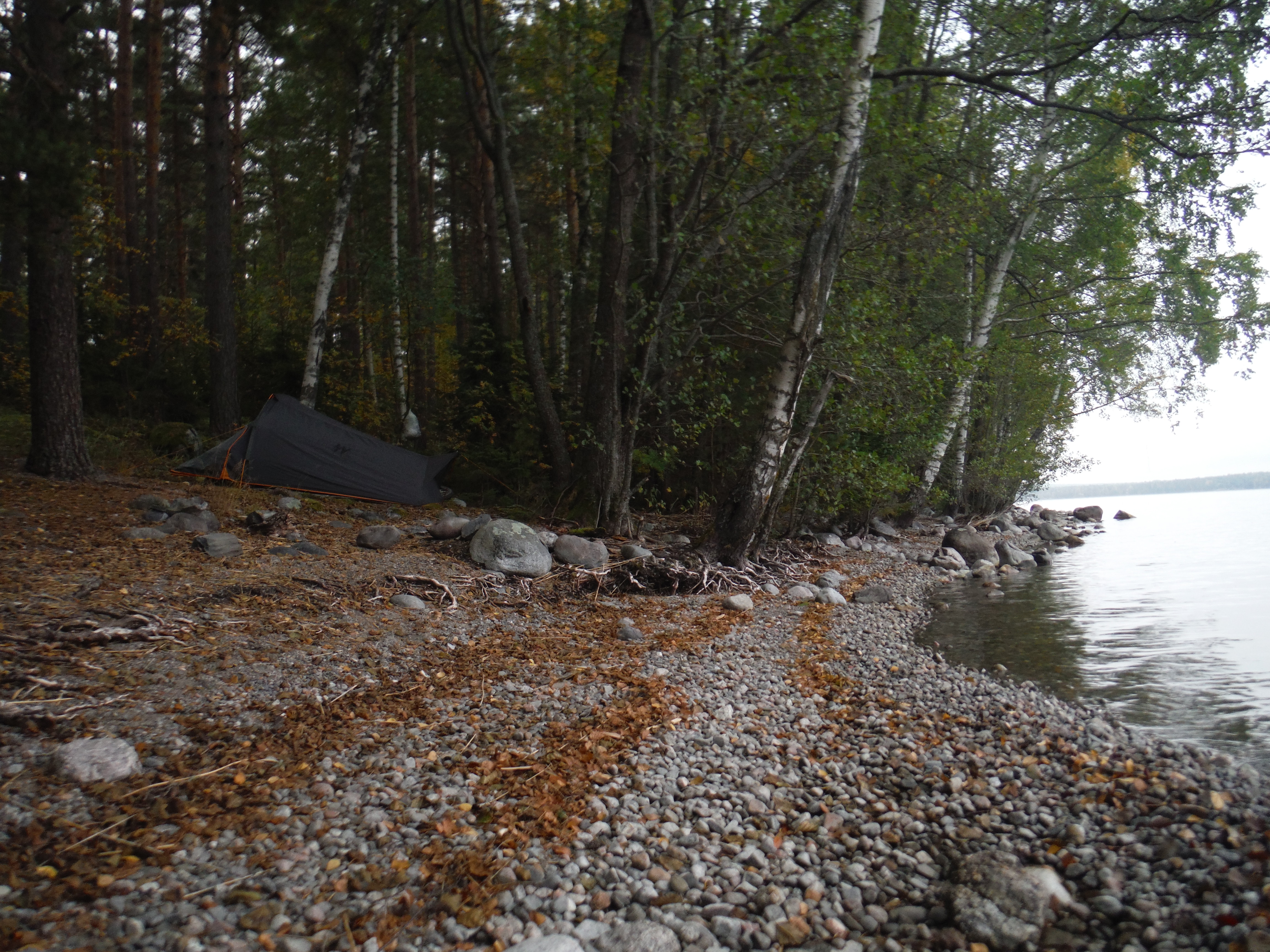
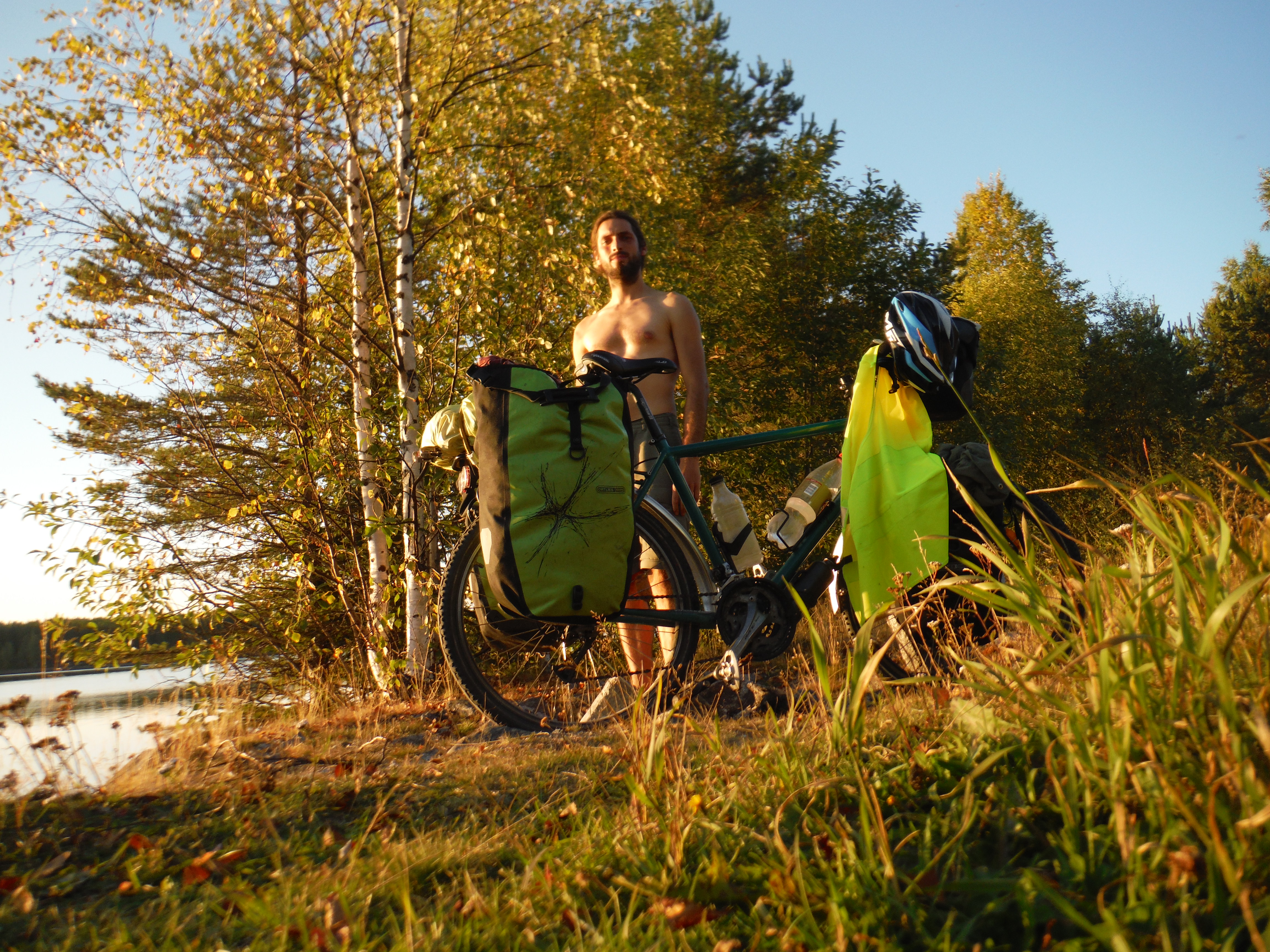
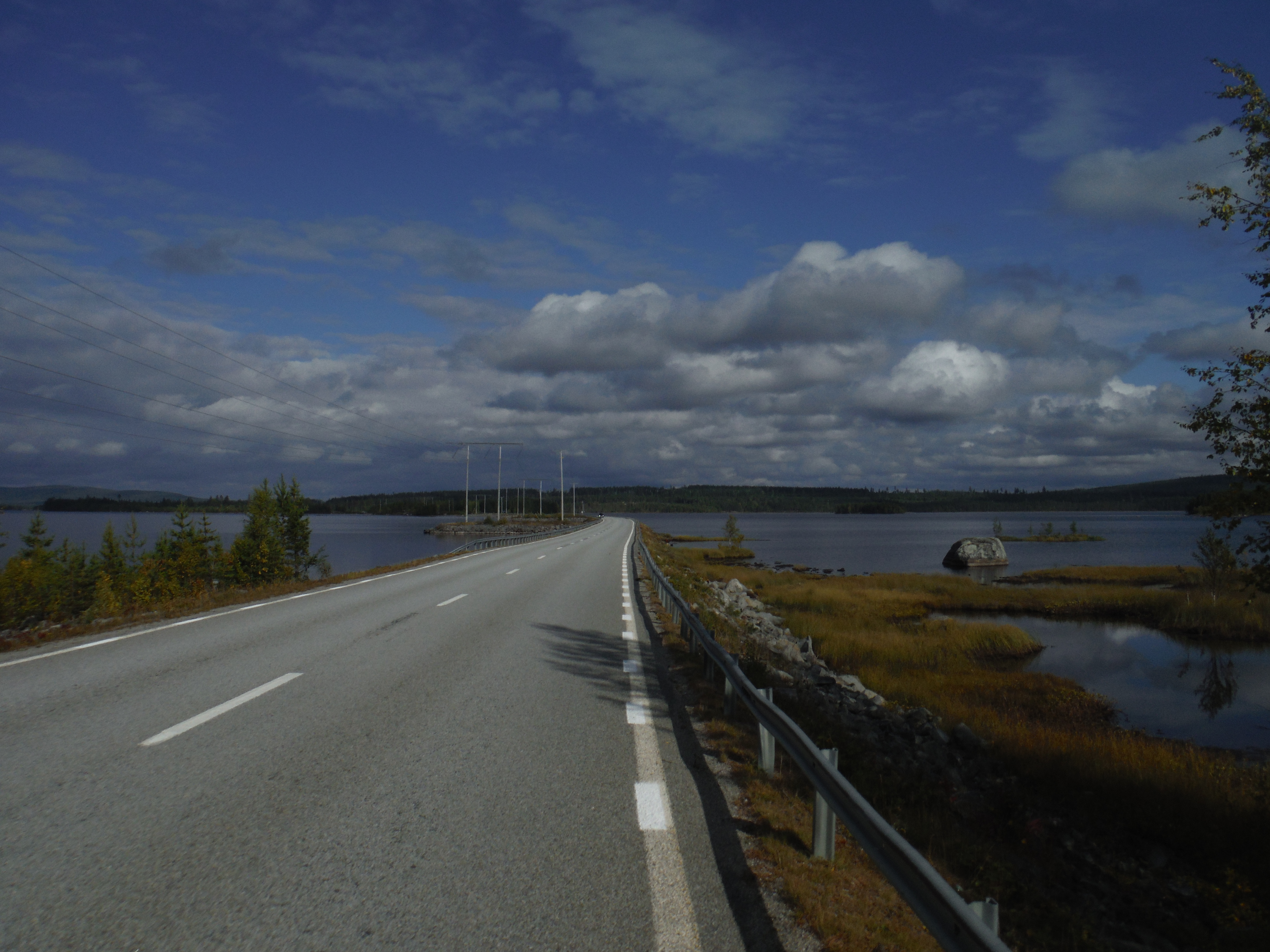
After staying on the Kvarken archipelago for two days, I am go east, inland, in the direction on the big lakes of Finland. After 10 days sleeping in the forest, I had 3 rest days with a guy meet through couch-surfing… In the countryside around lahti… Swiming, montain-biking, hiking, tolking…
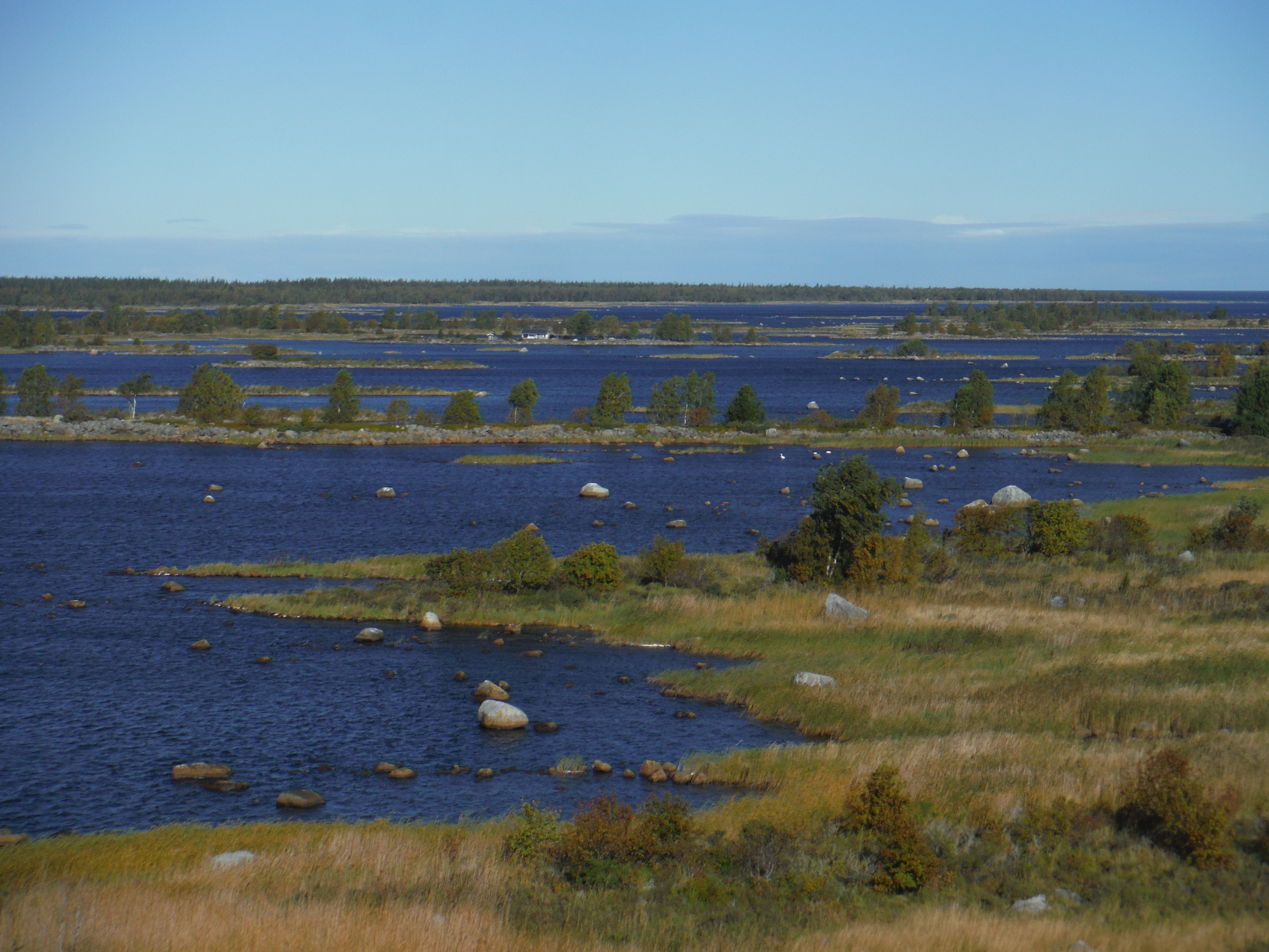
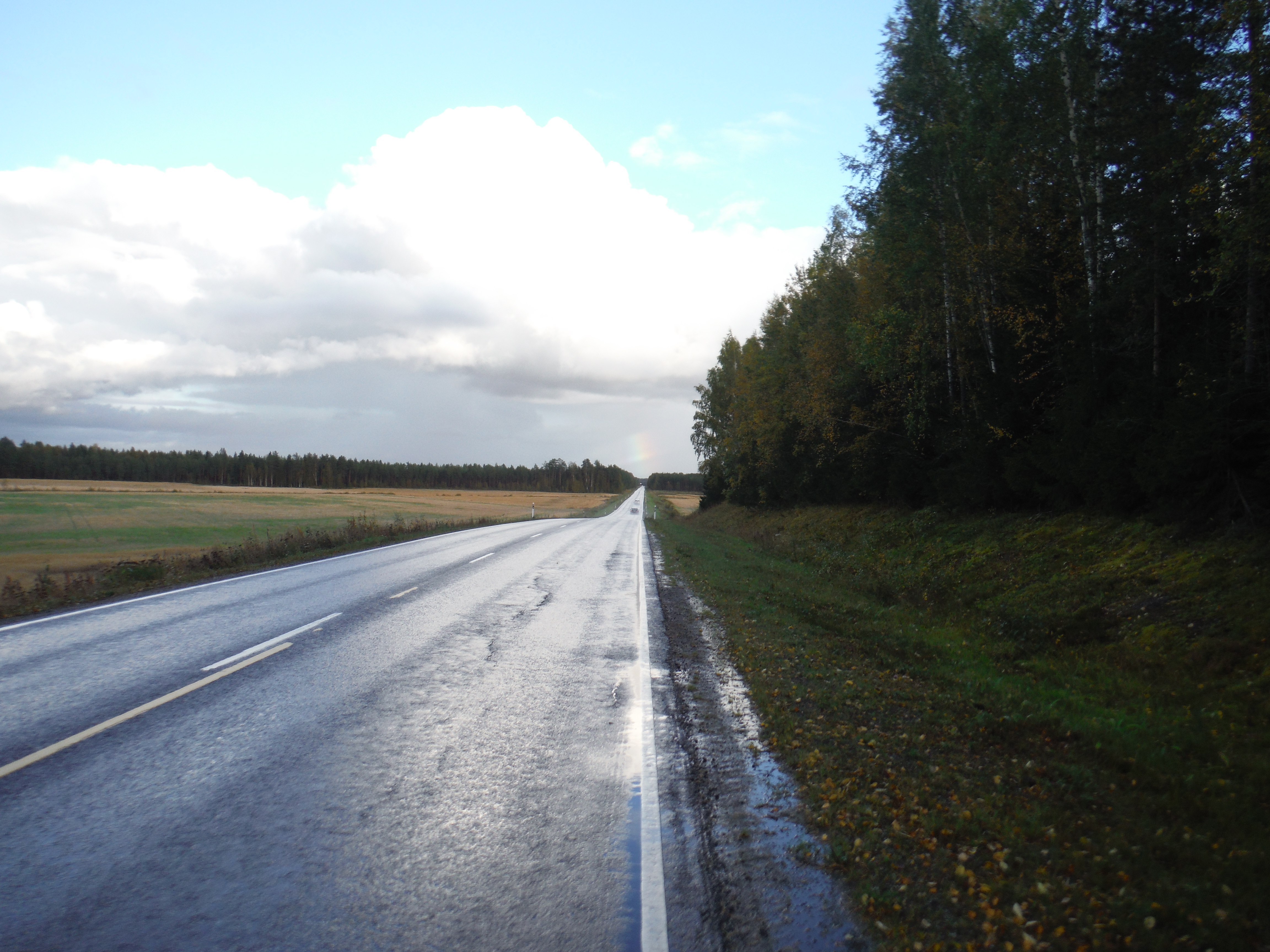
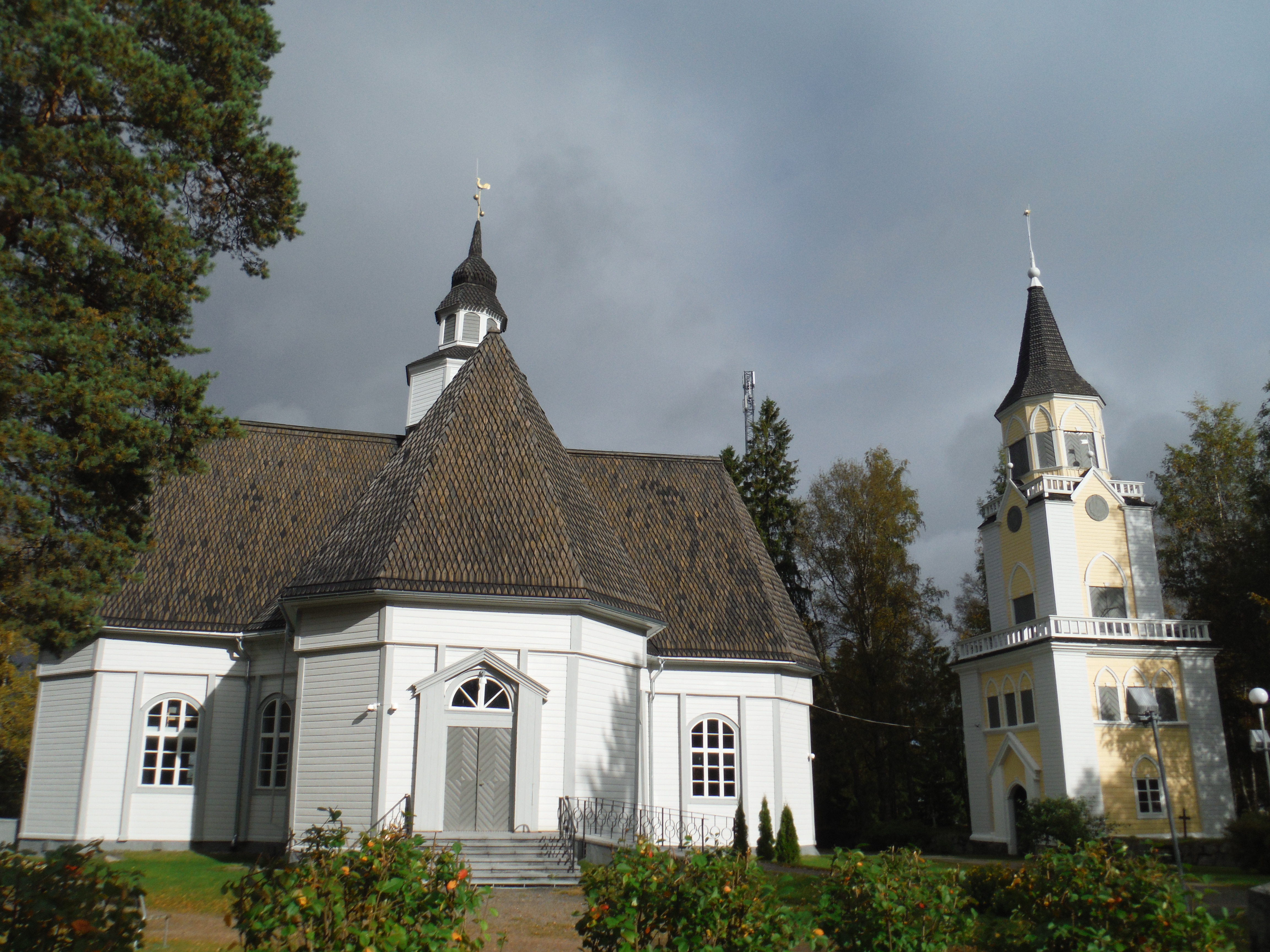
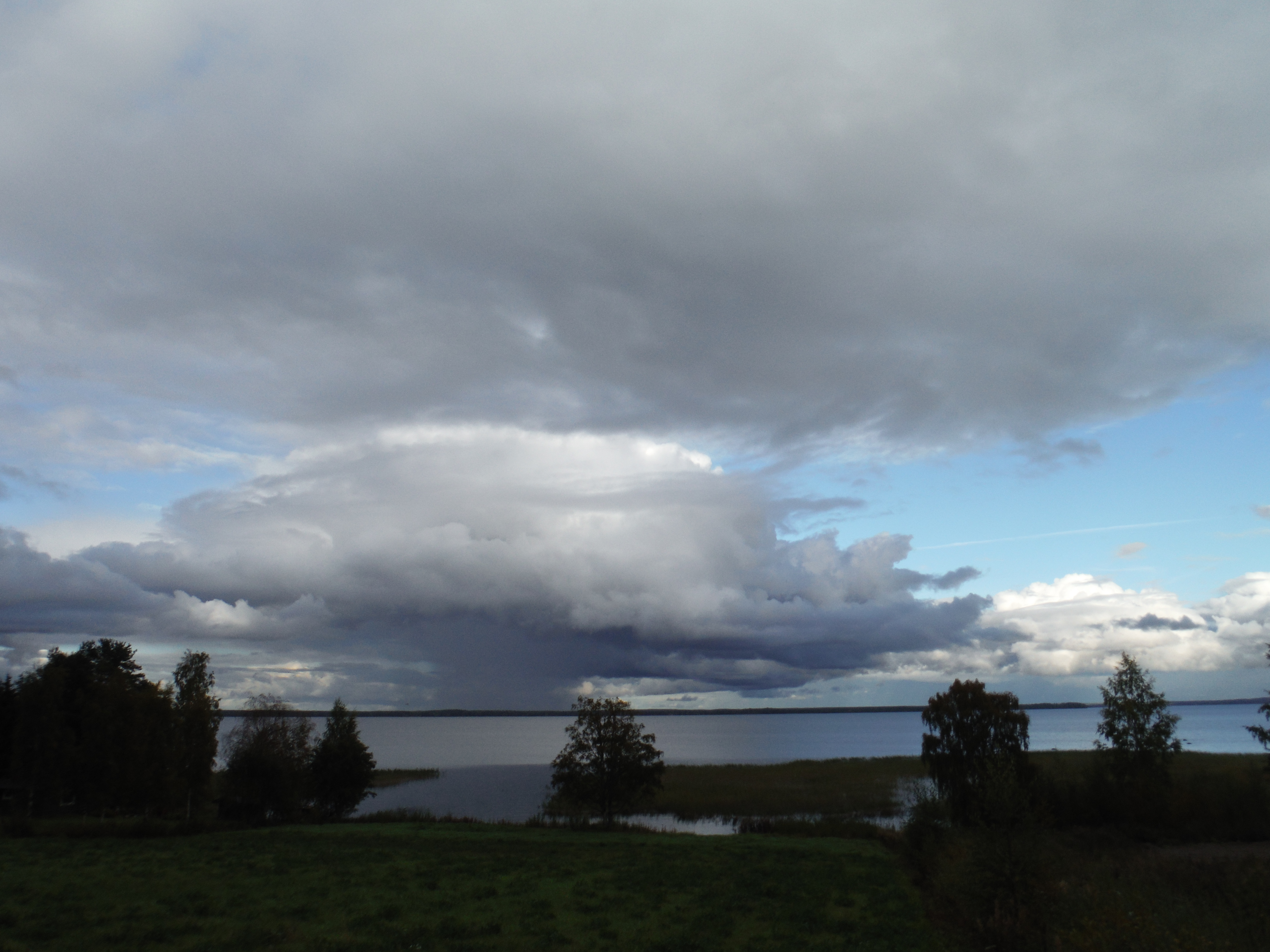
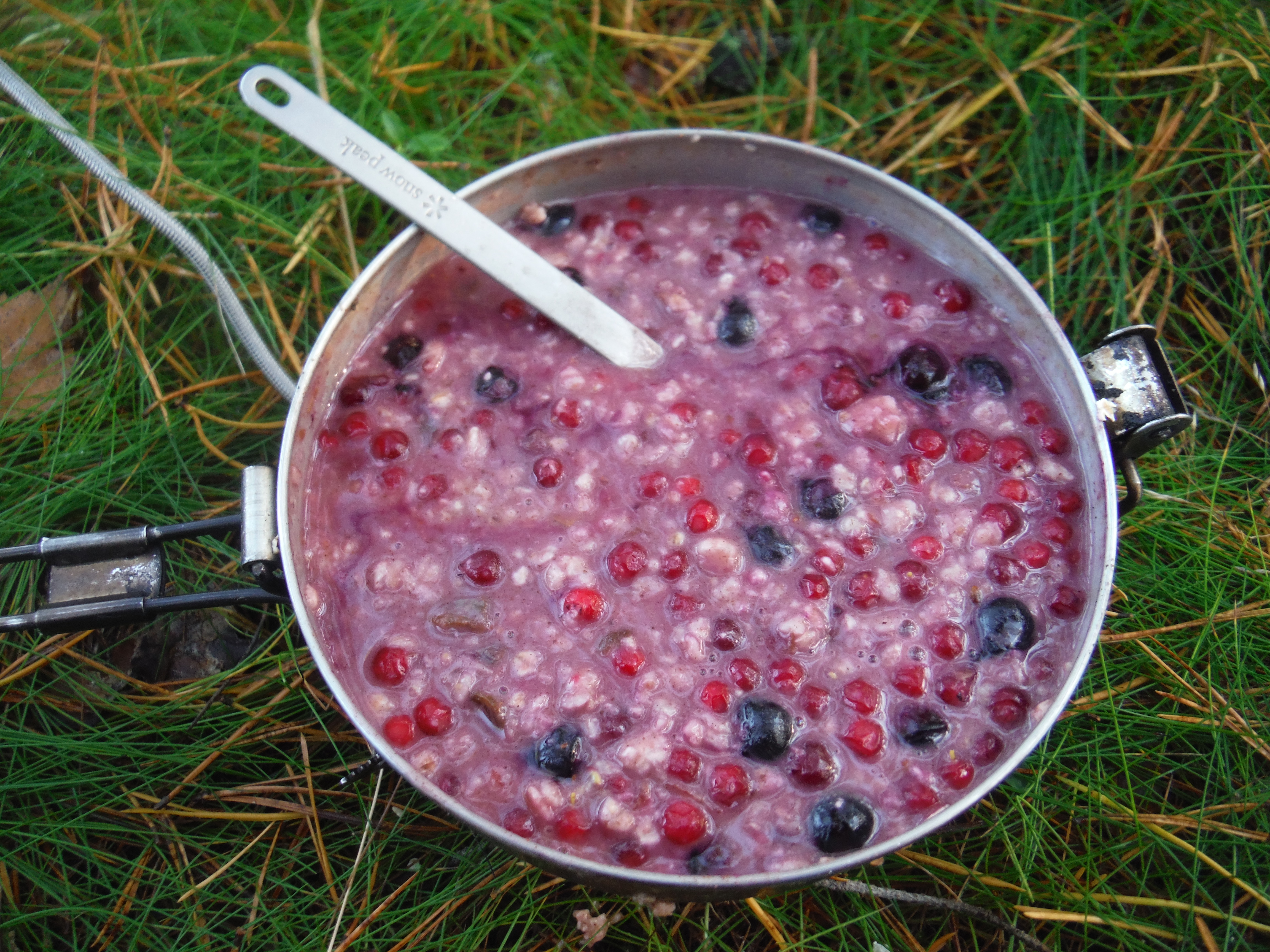
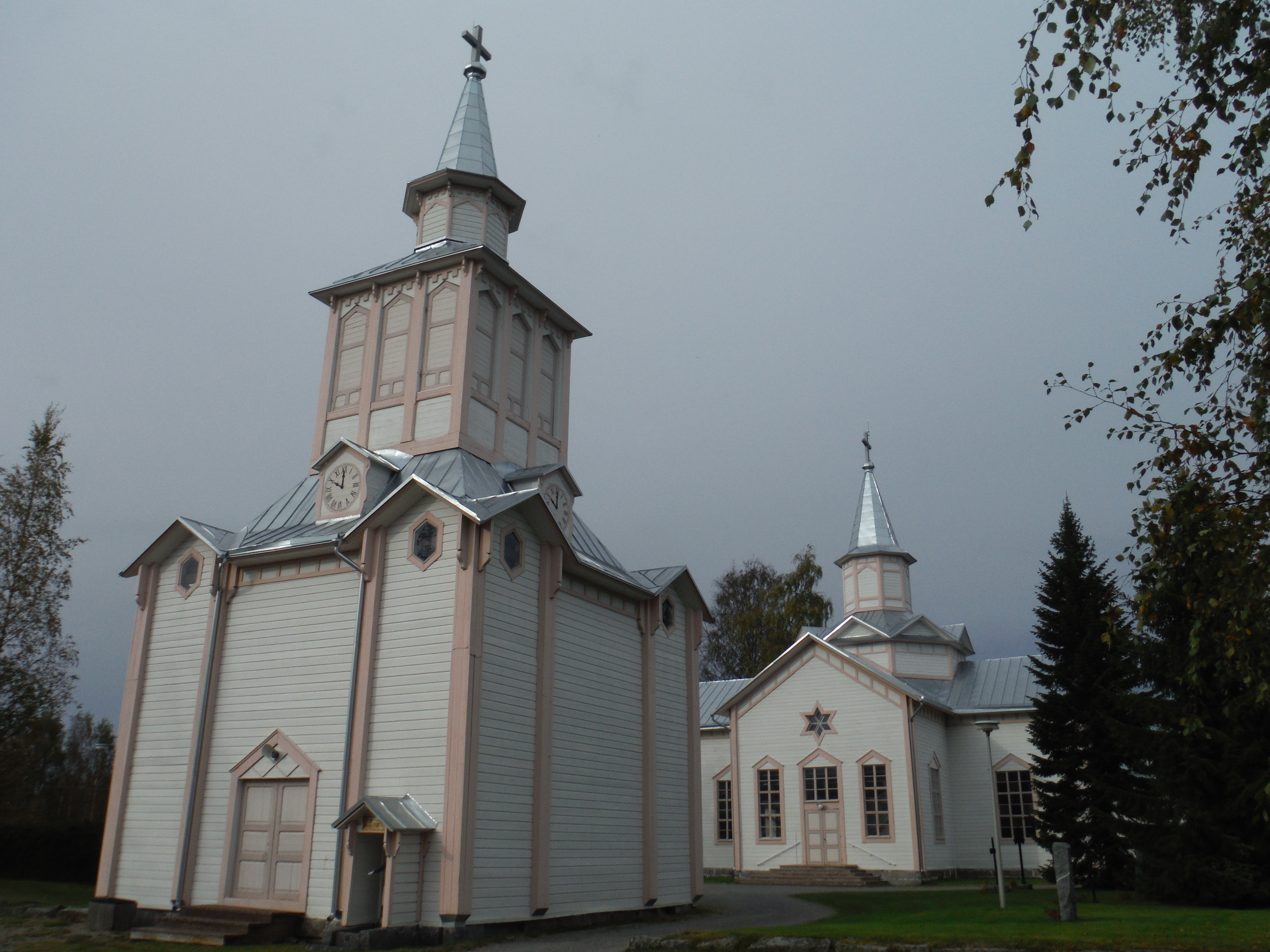
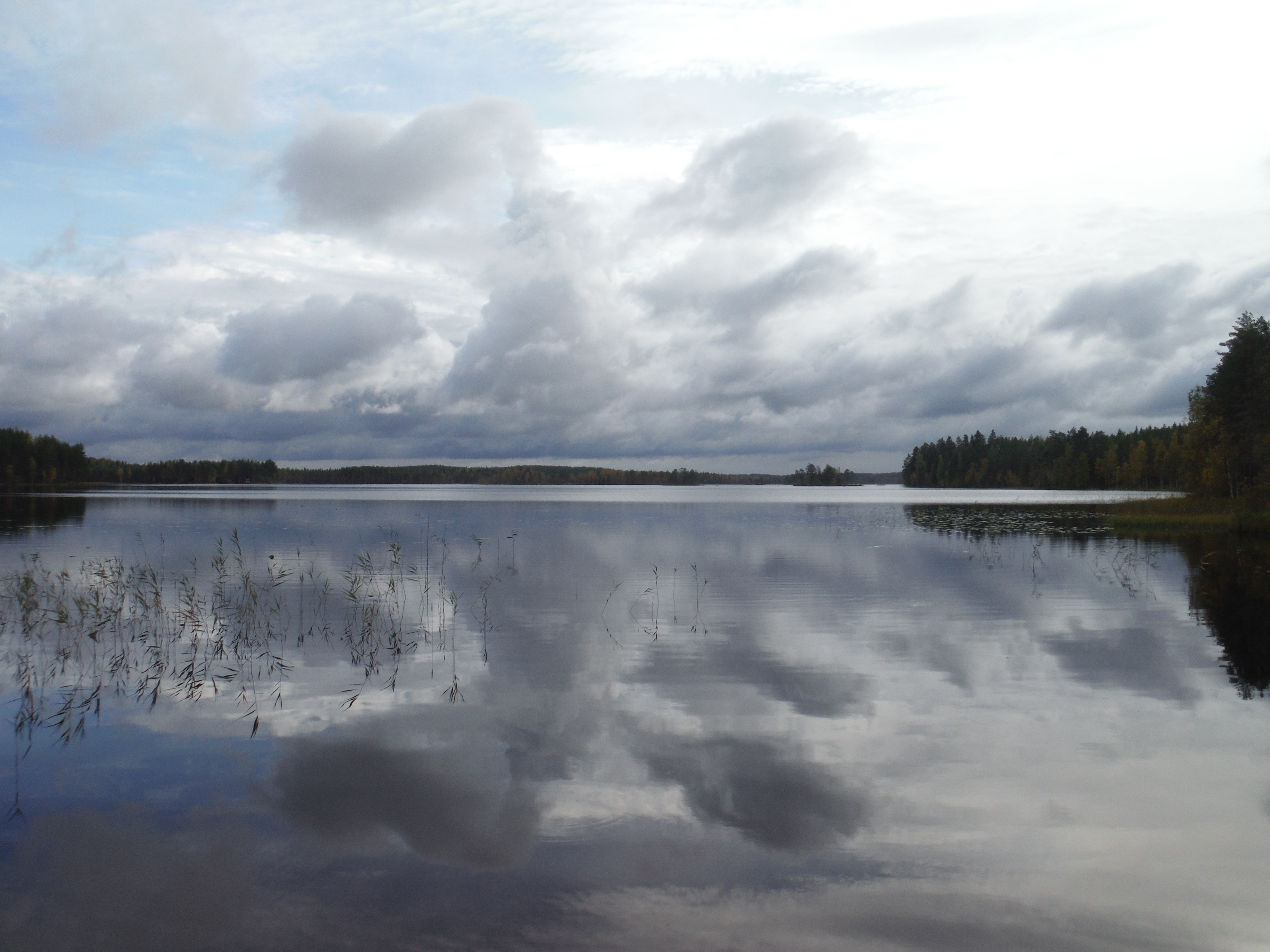
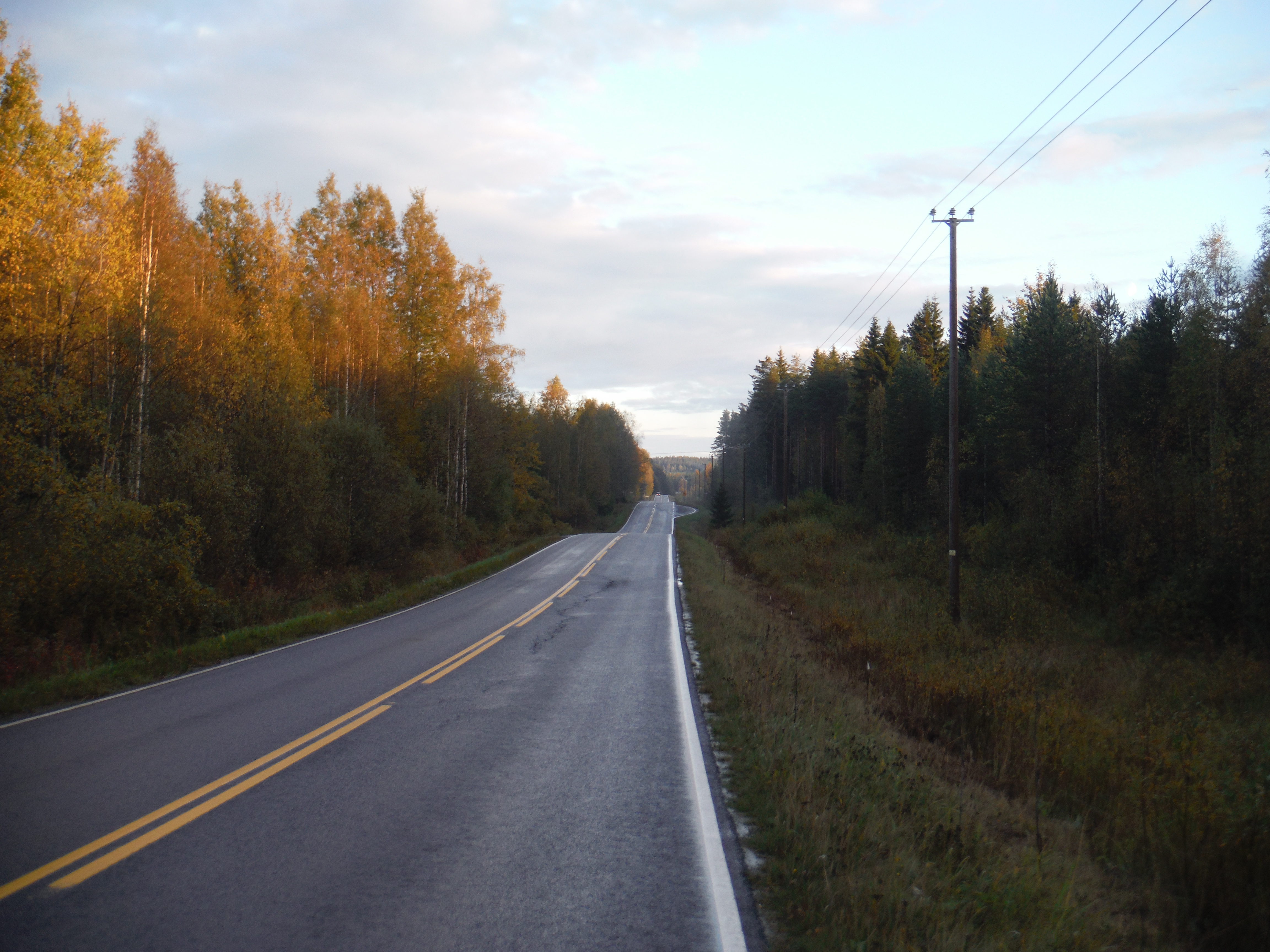
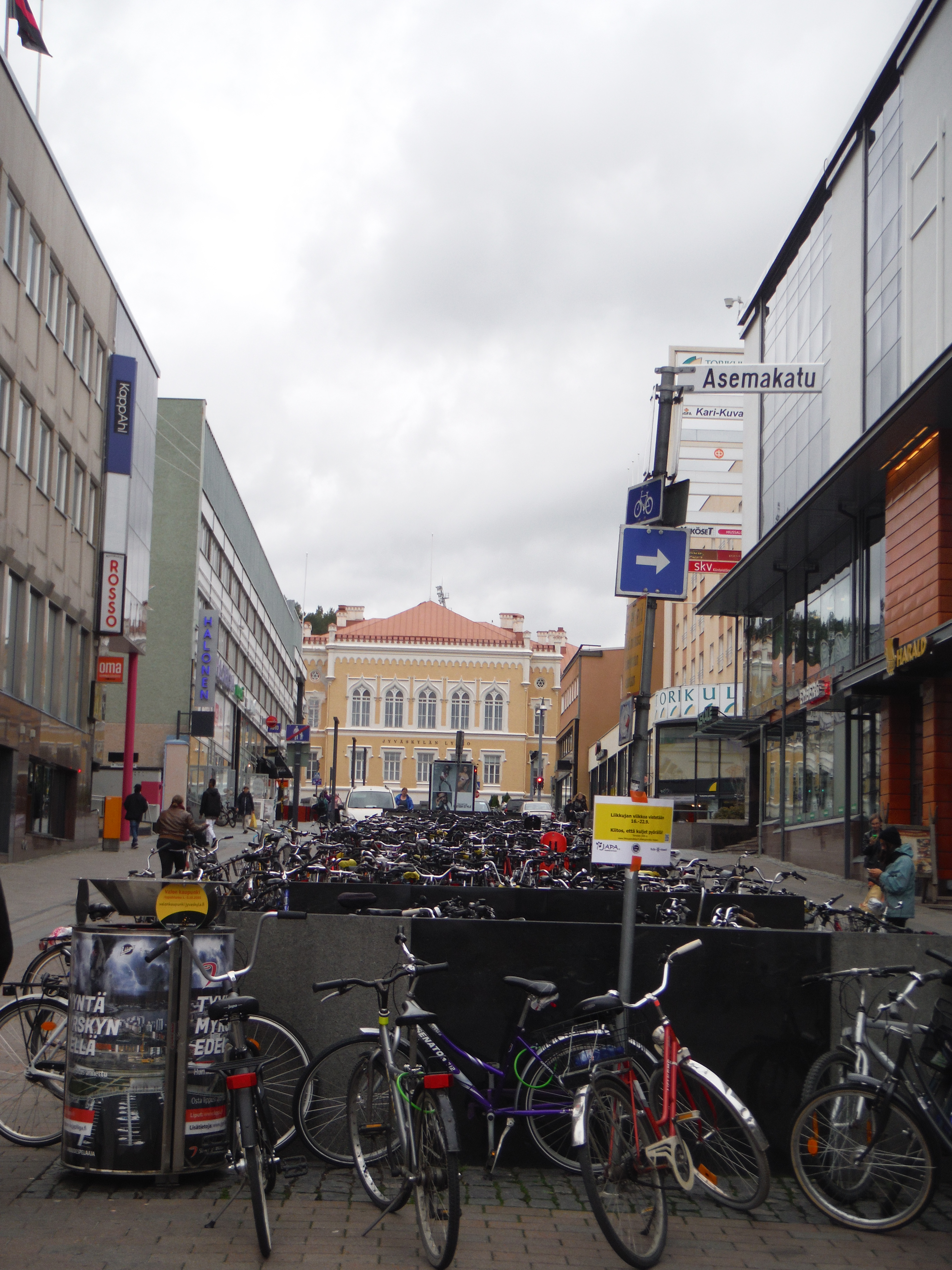
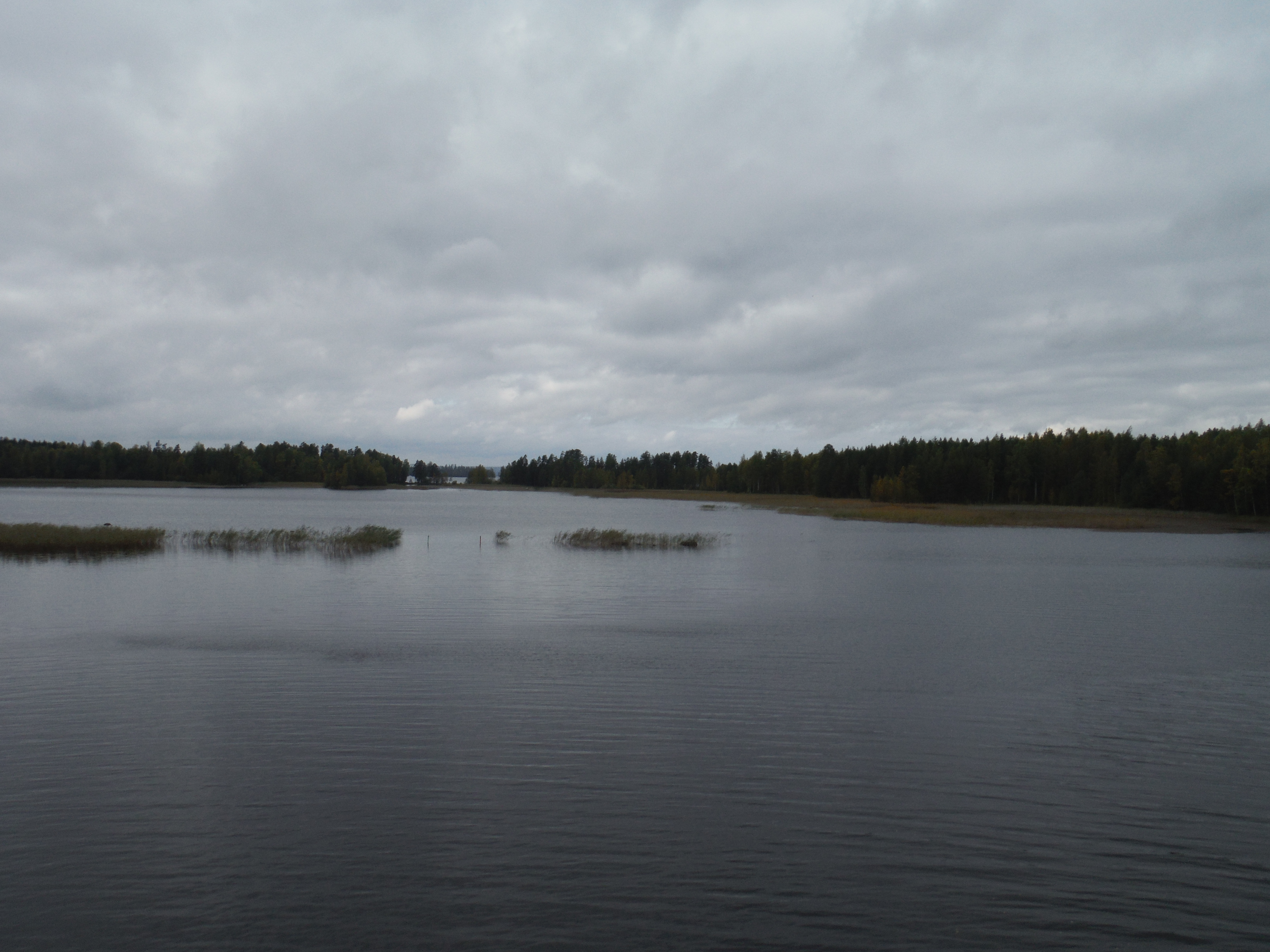
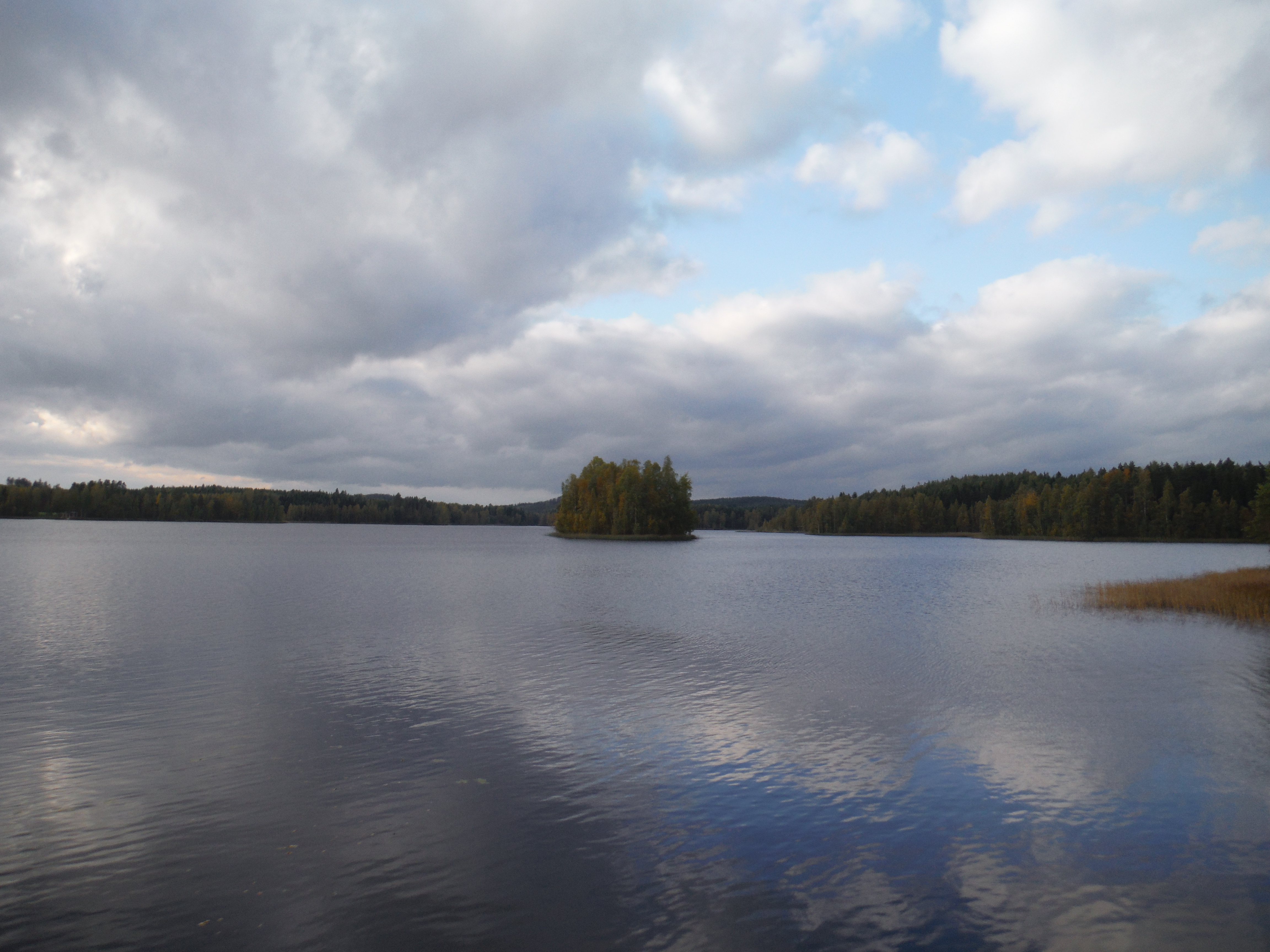
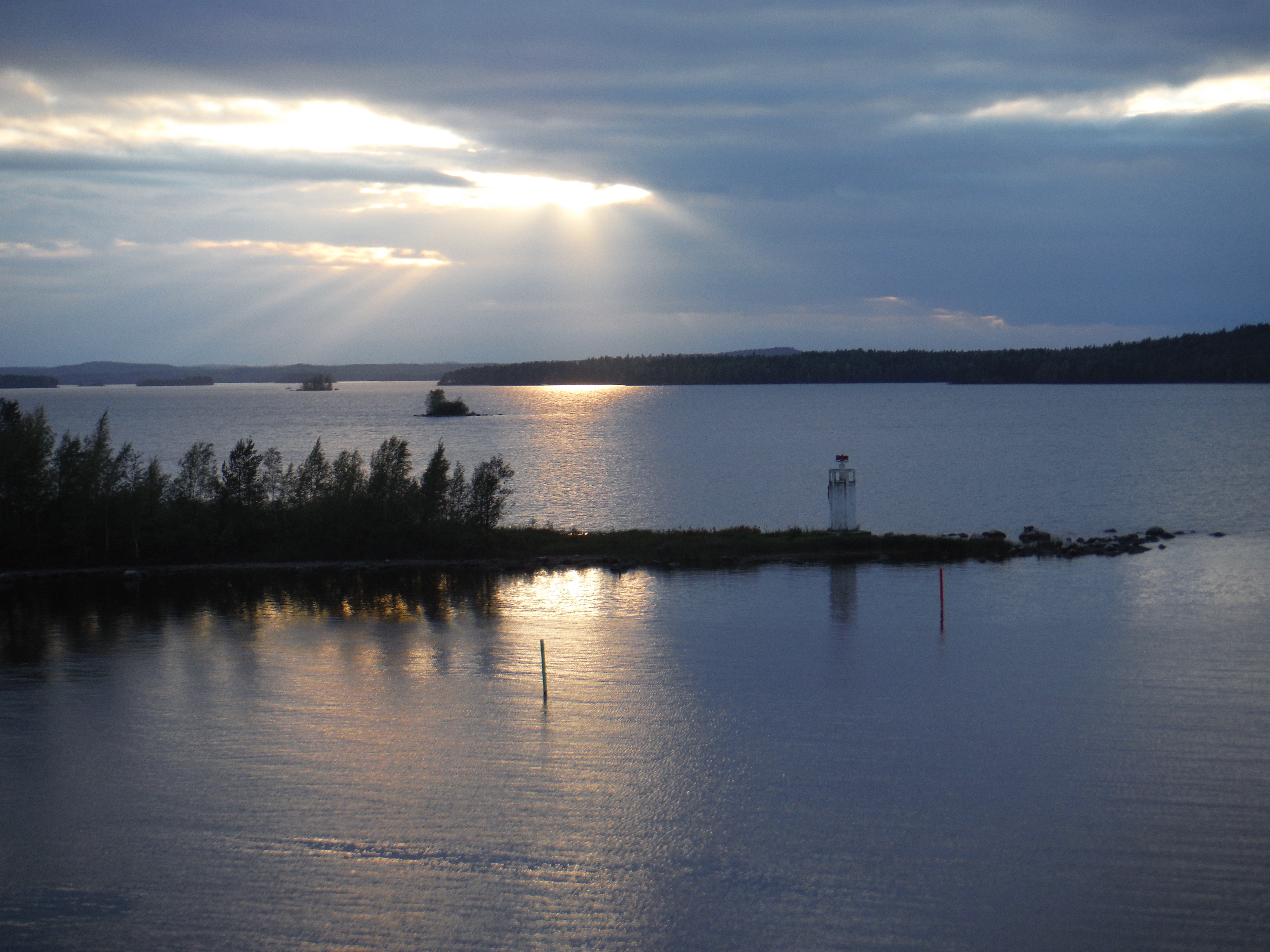
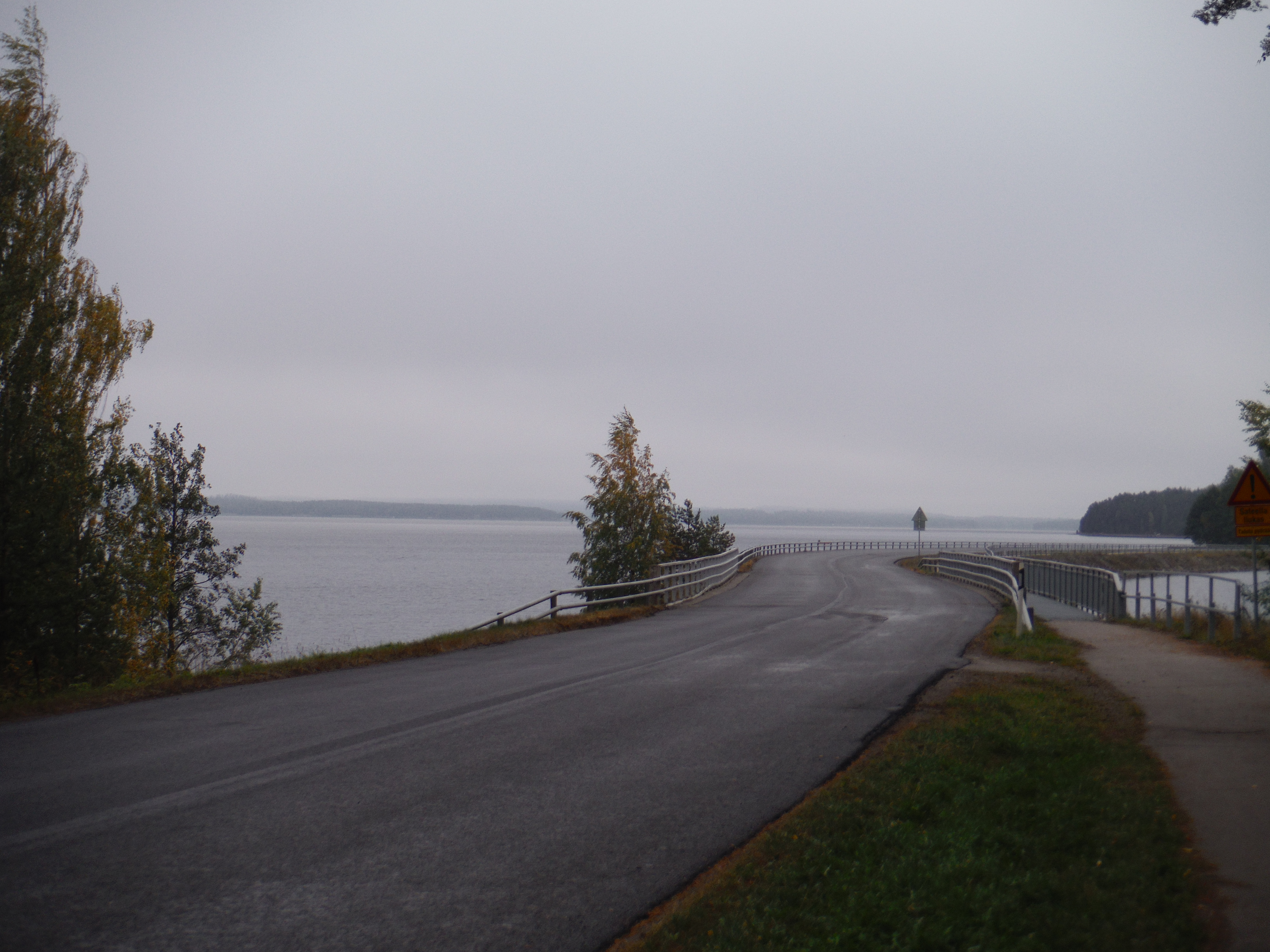
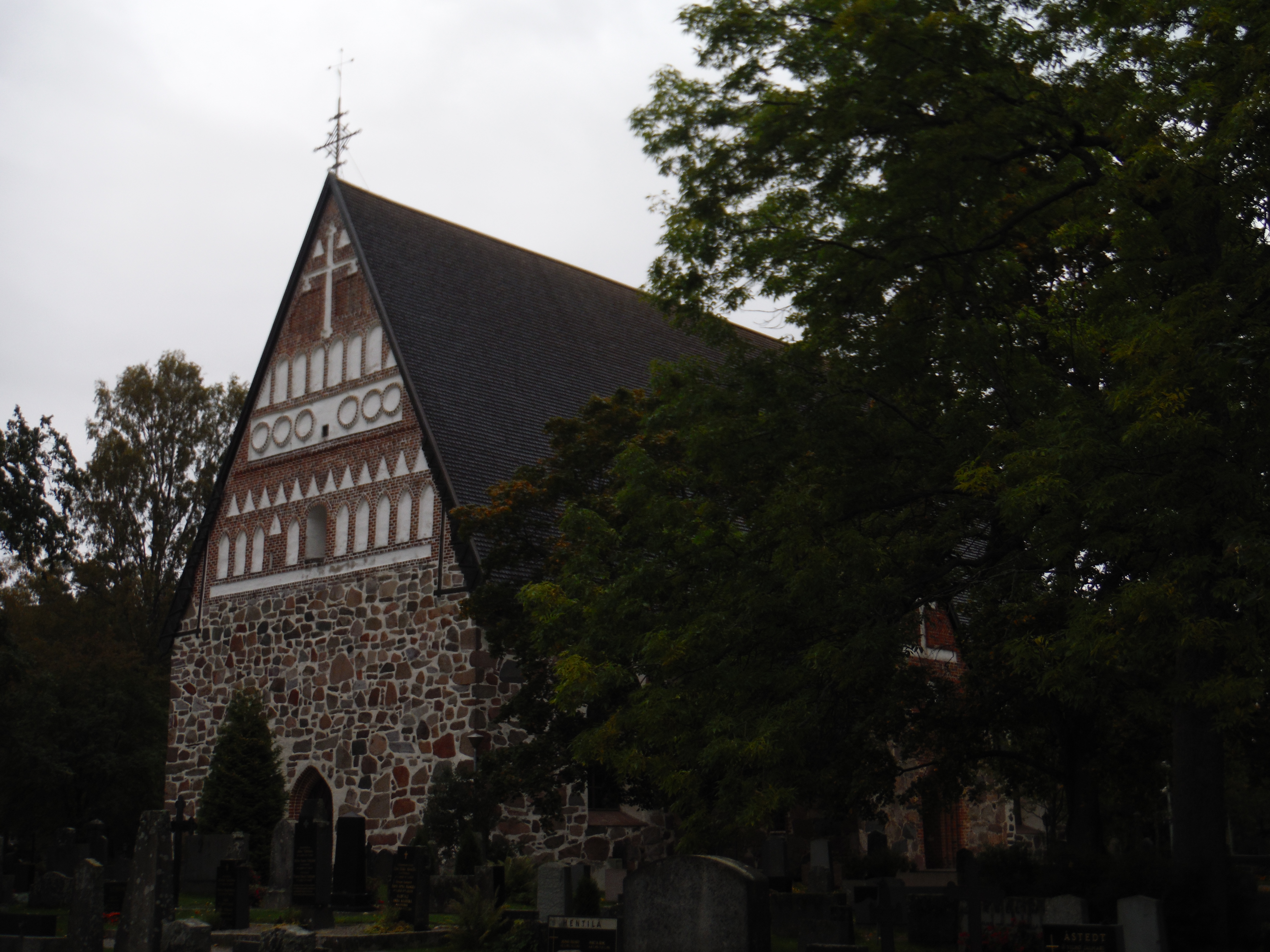
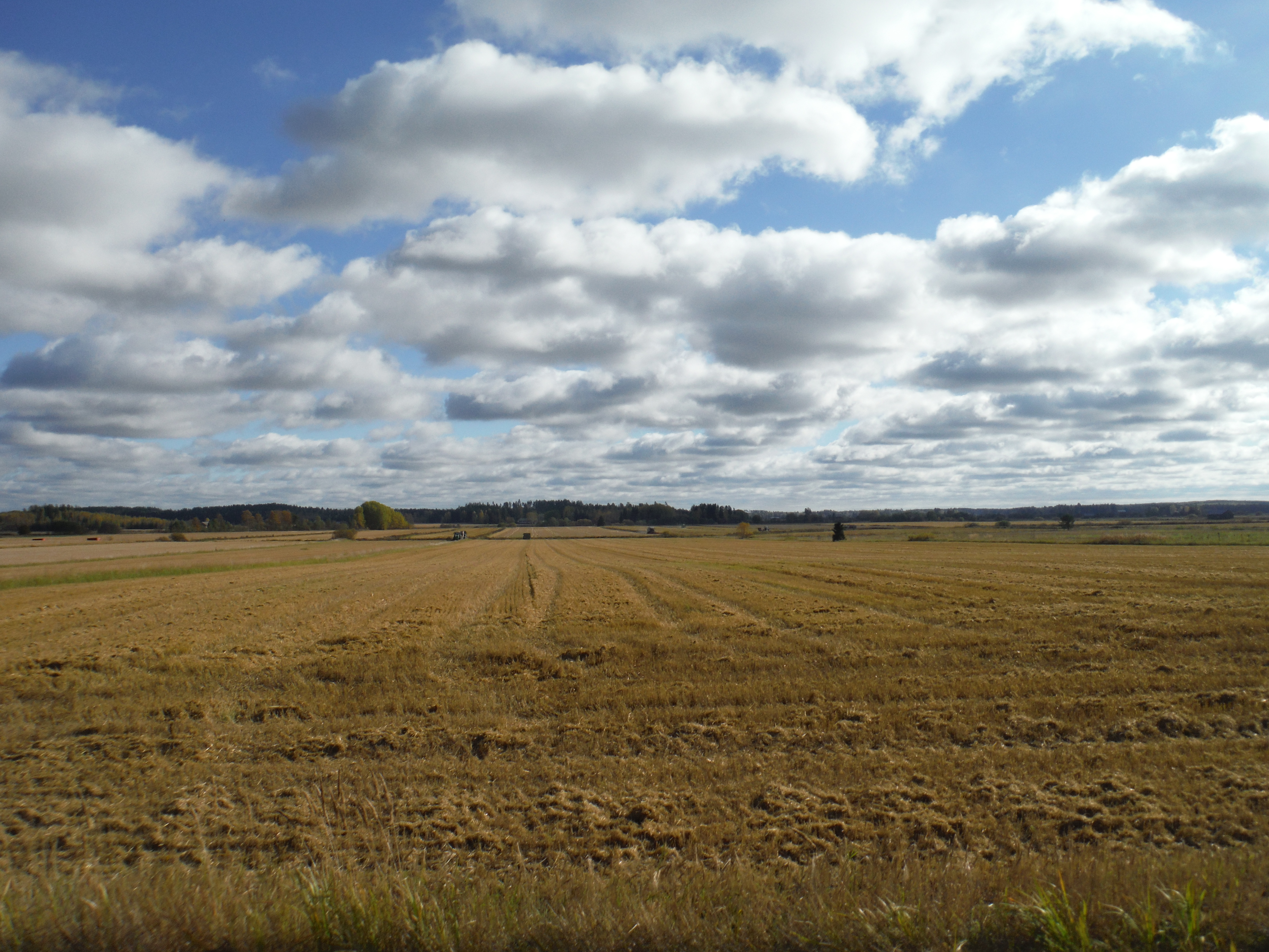
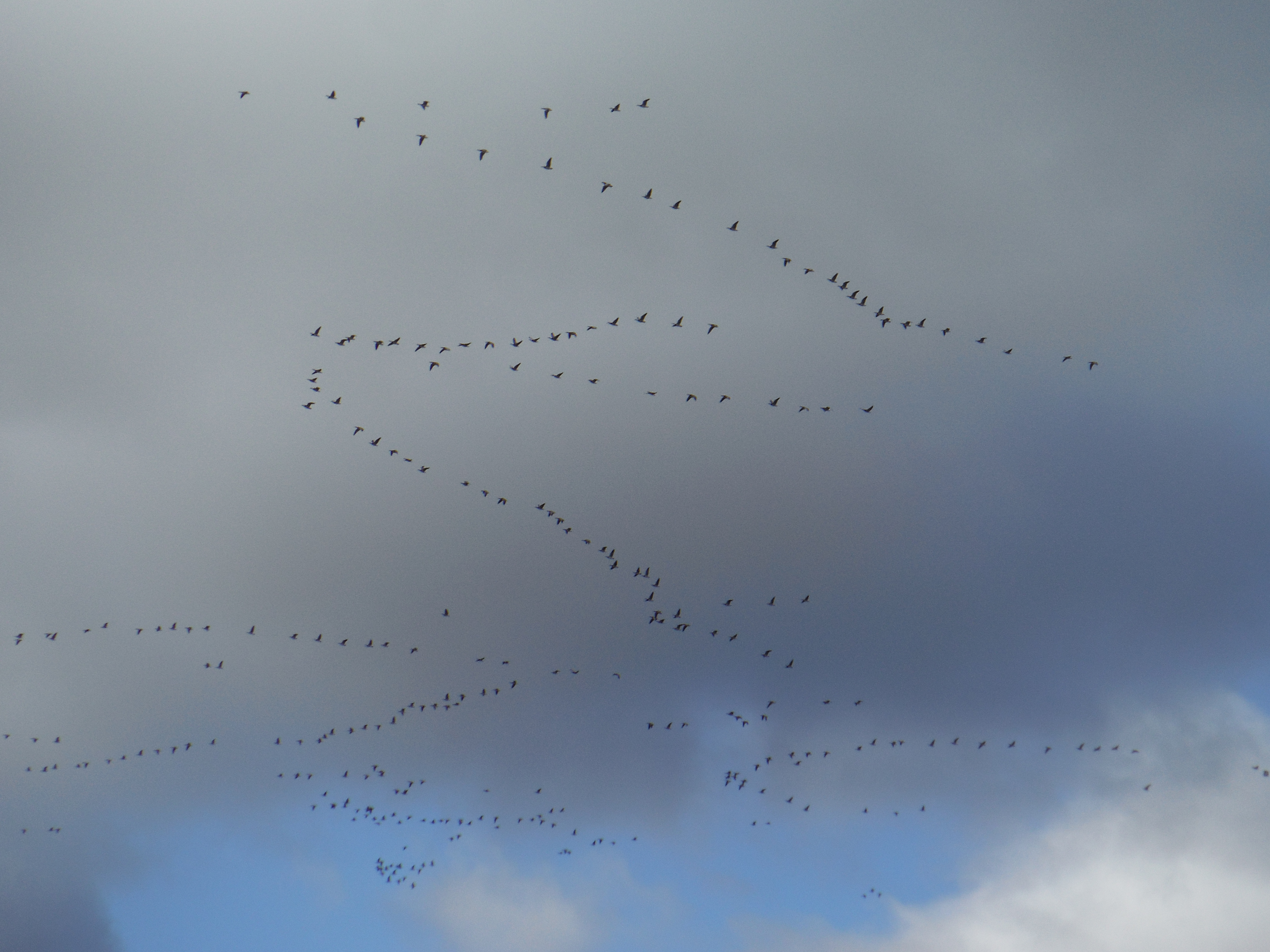
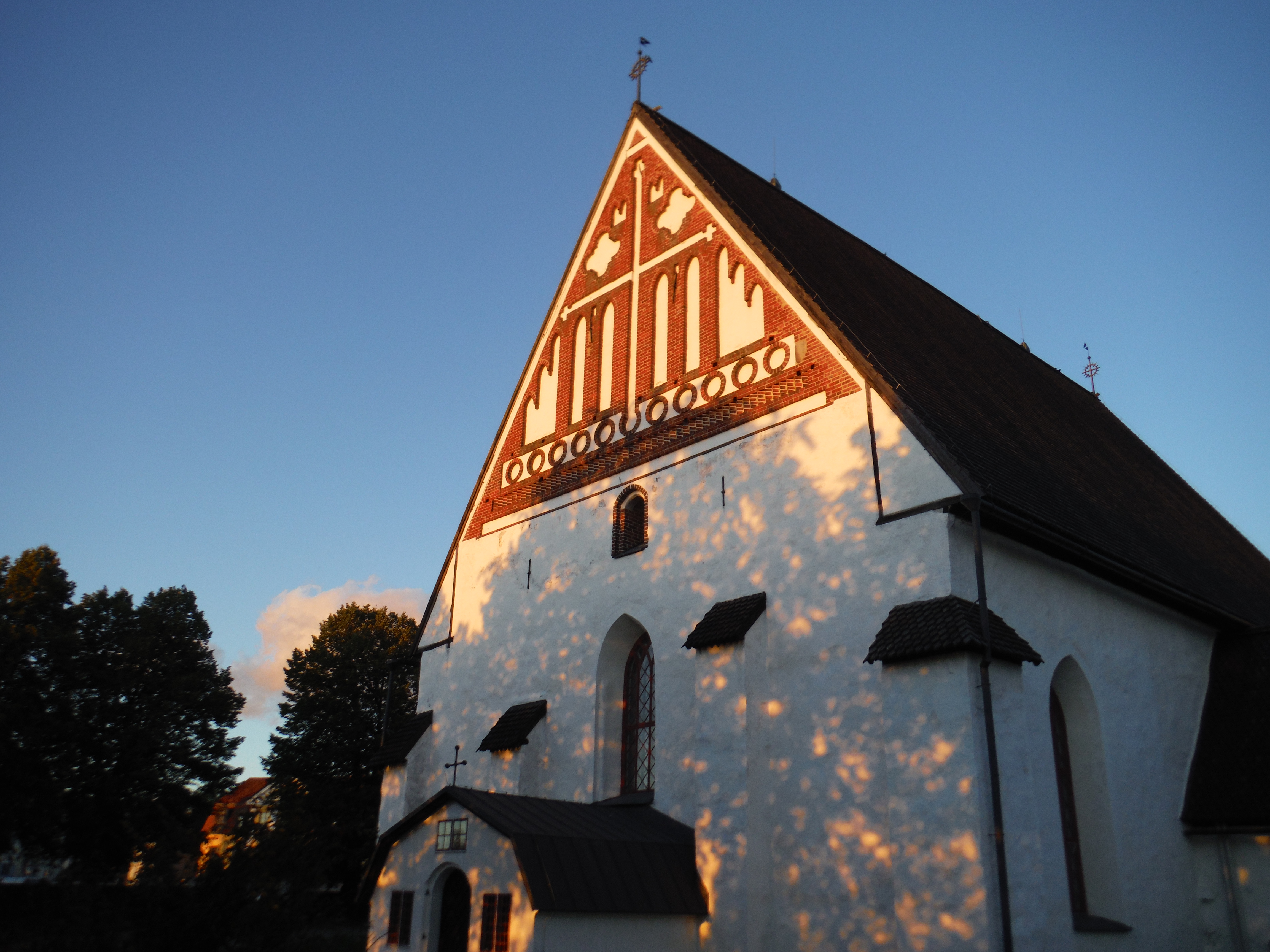
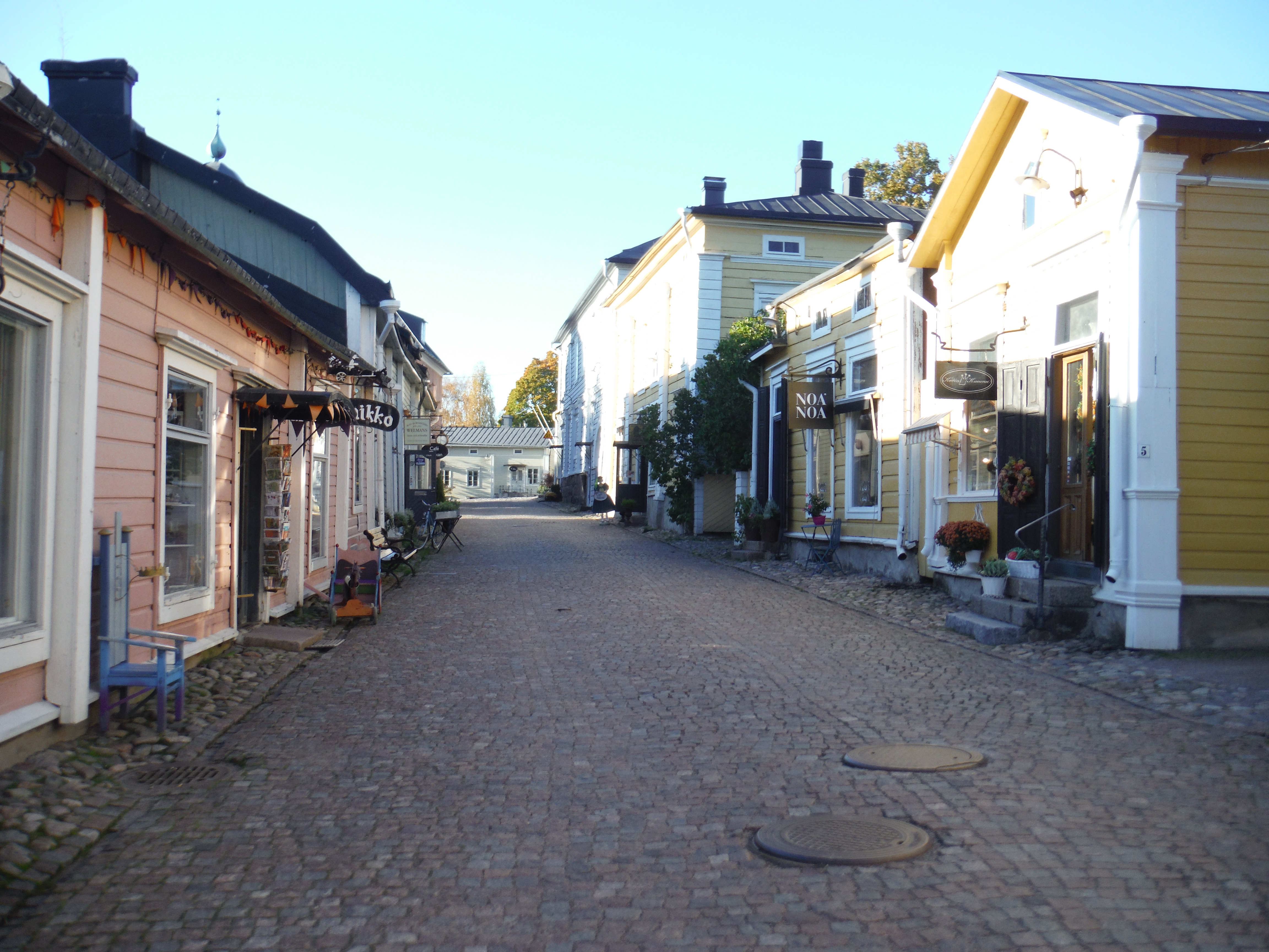
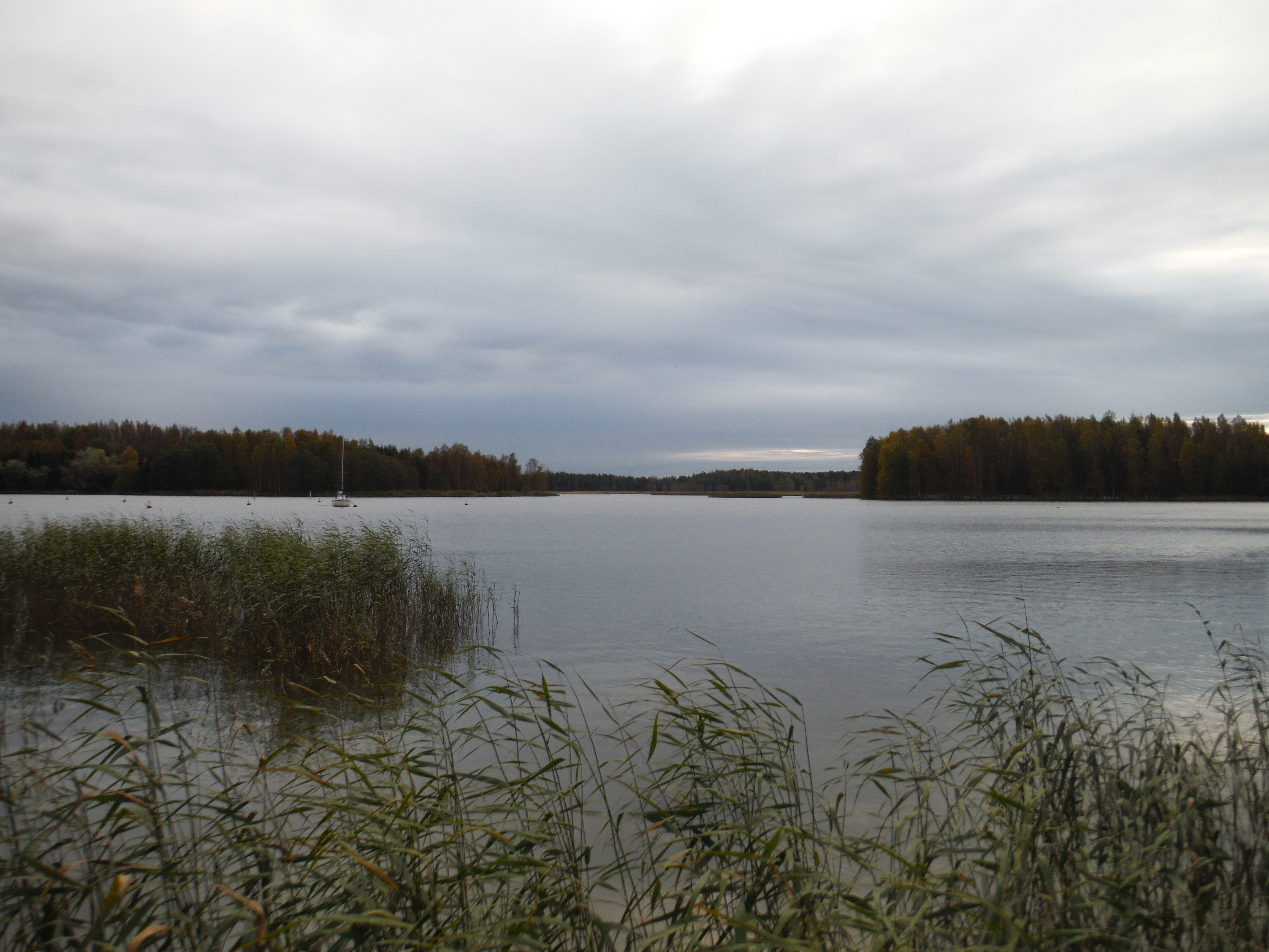
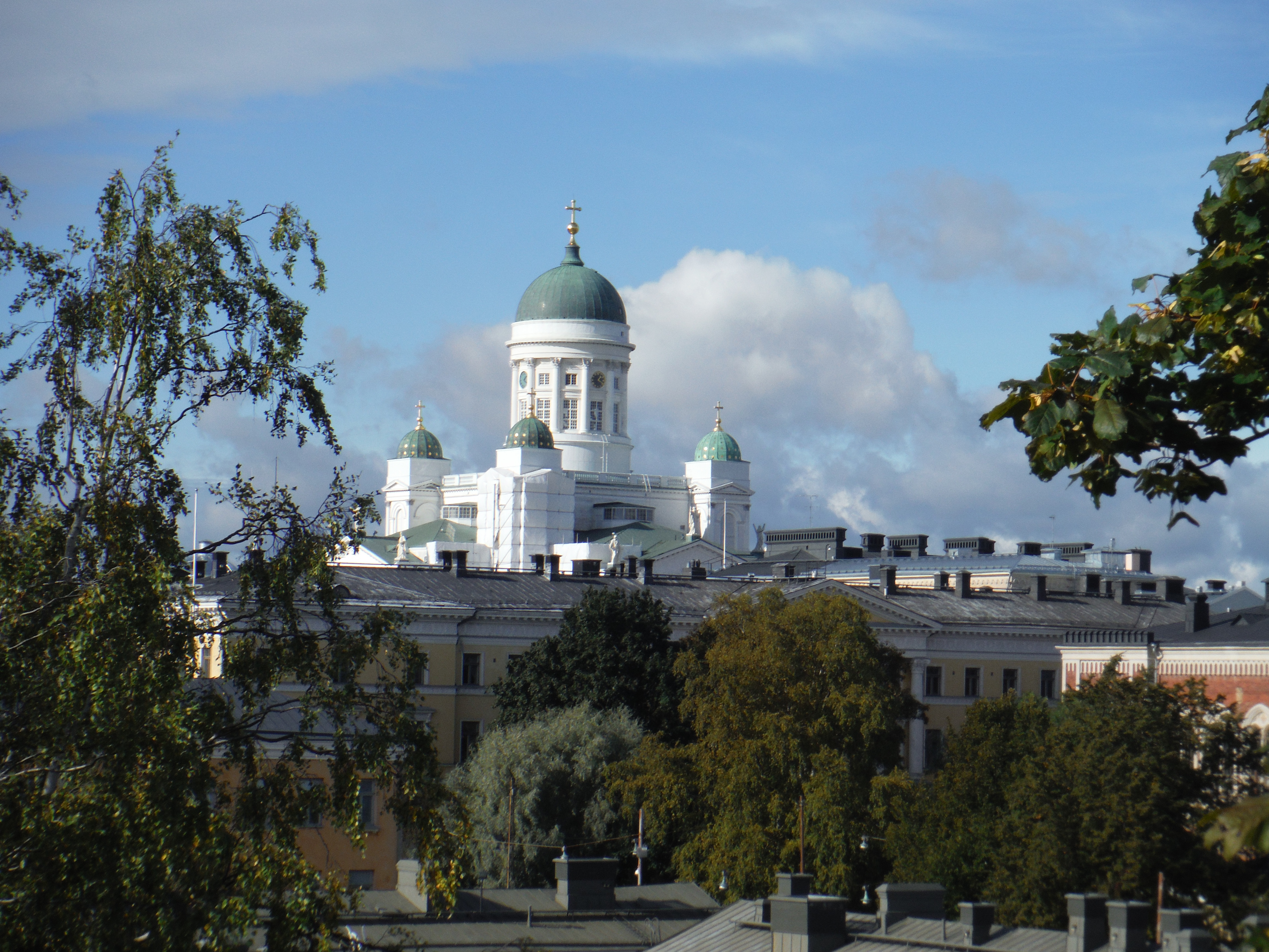
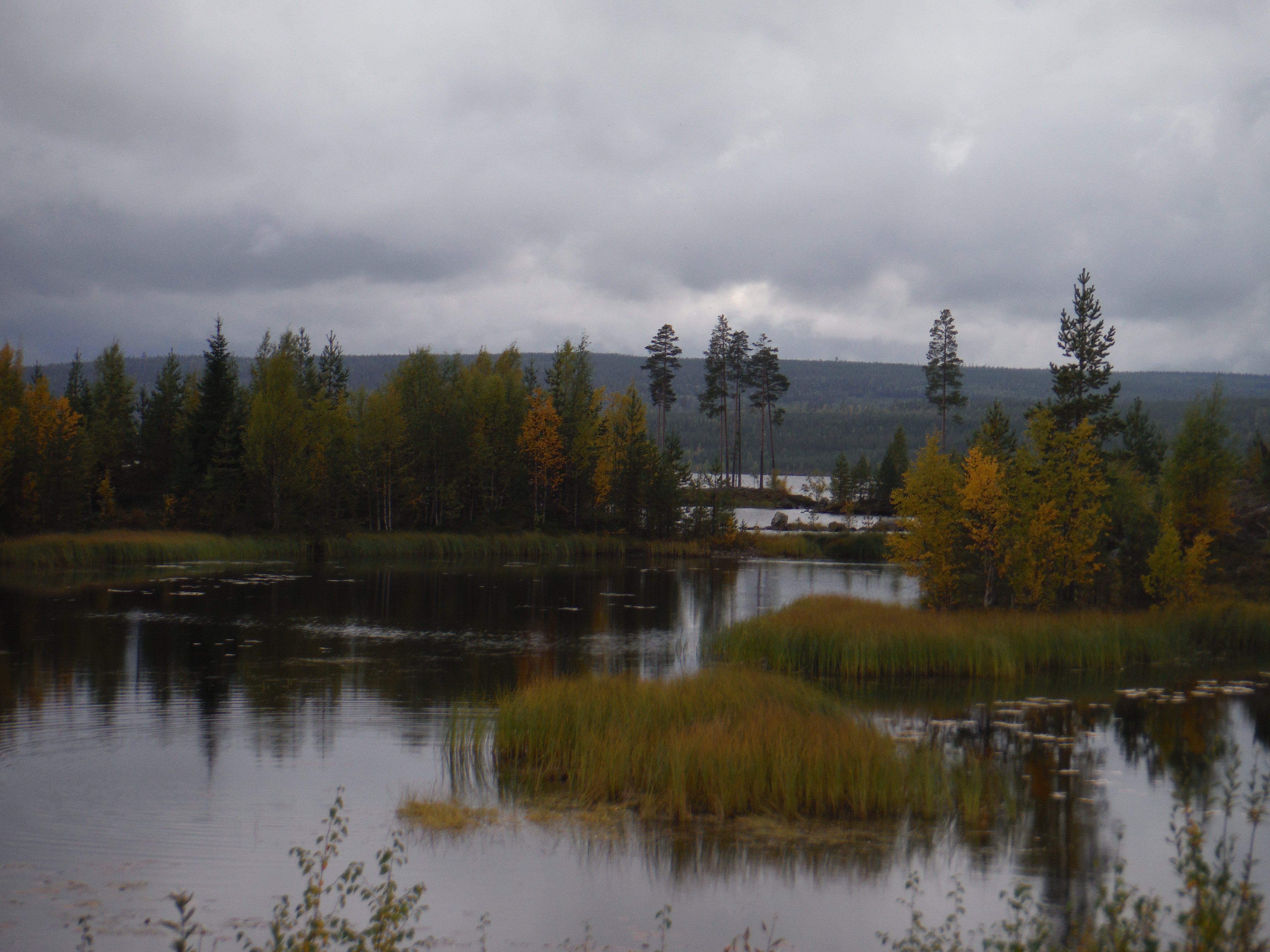
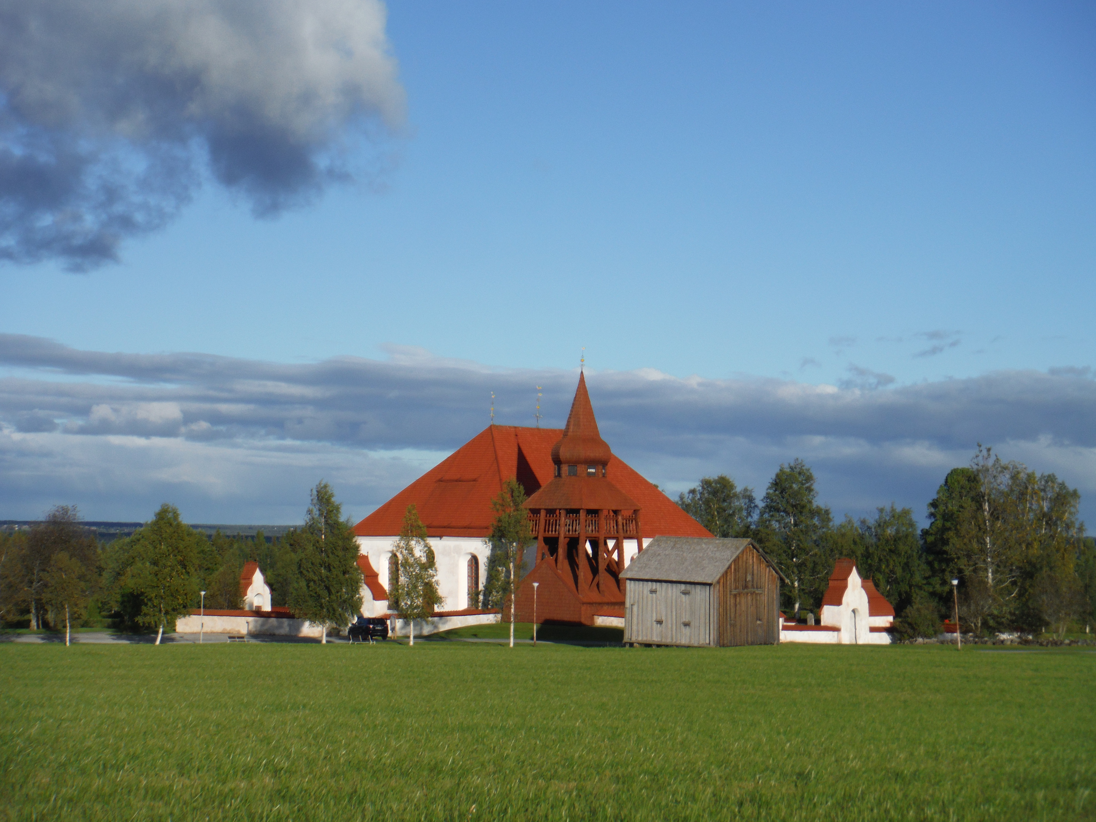
Going to the rainbowYlihärmänRaining cloud over LappajärviLocal berries porridge.The church of SoiniHankajärvi, SoiniHankalaJyväskyläThe Päijänne Lake – KorpilahtiAutumn colors – PutkilahtiJudinsaloAuhjärvi -SysmäPäijänne – AsikkalaFrom my camp, Päijänne – AsikkalaPäijänne – AsikkalaMy camp, on the Päijänne Lake – AsikkalaThe road… – AsikkalaThe Hollola old churchPukkila, Finlande. Here it’s now that we harvest the oat.The winter is coming… I am going south with the gooses.The Provoo churchProvooBack to the see.Helsinki
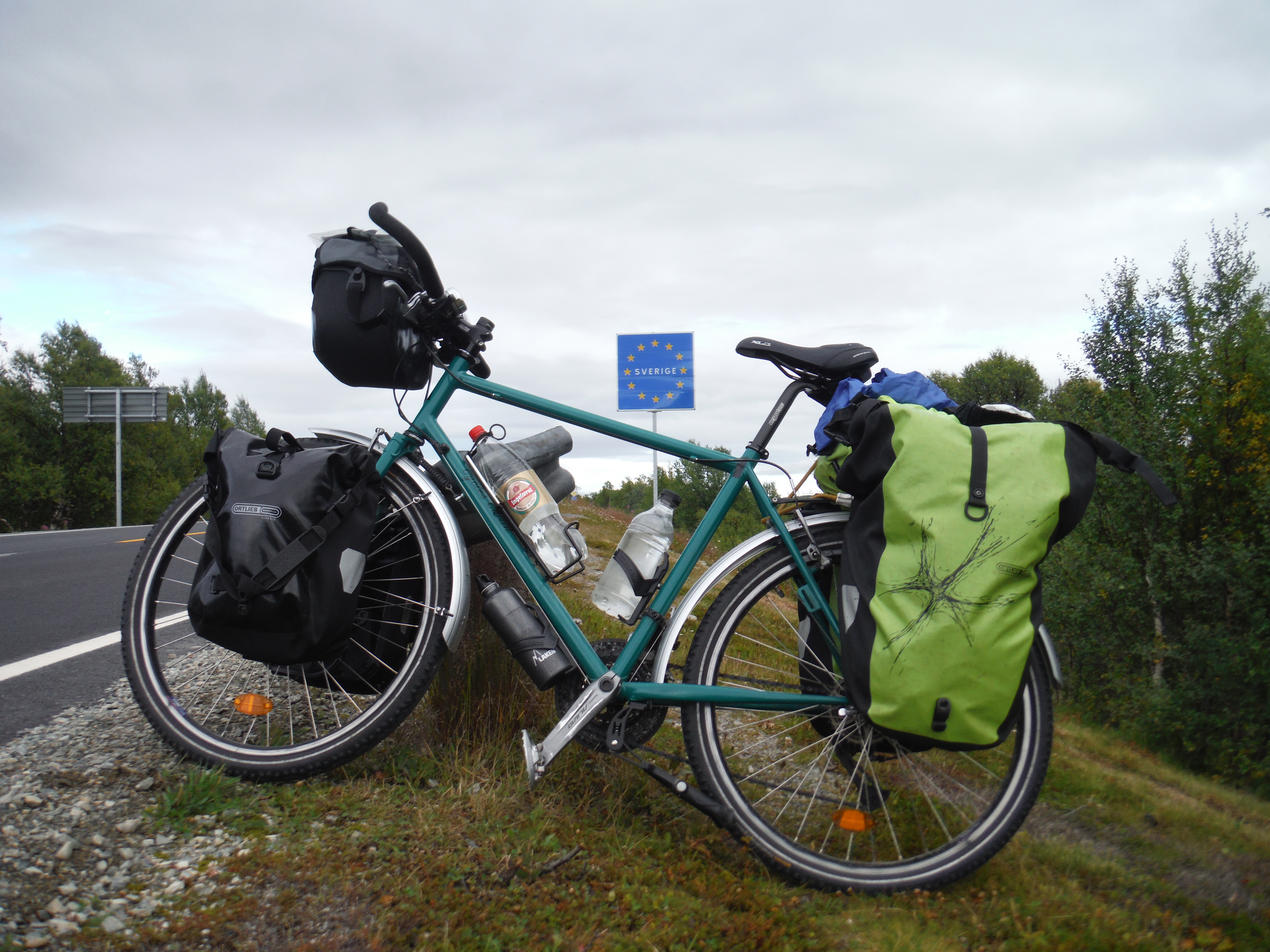
Depuis une semaine, je traverce les forets de suède. Je suis maintenant à Umeå, demain, je prend un ferry pour Vassa et la Finlande.
Mais je dois maintenant aller au port pour prendre mon bateau tôt demain matin… les photos vont venir !
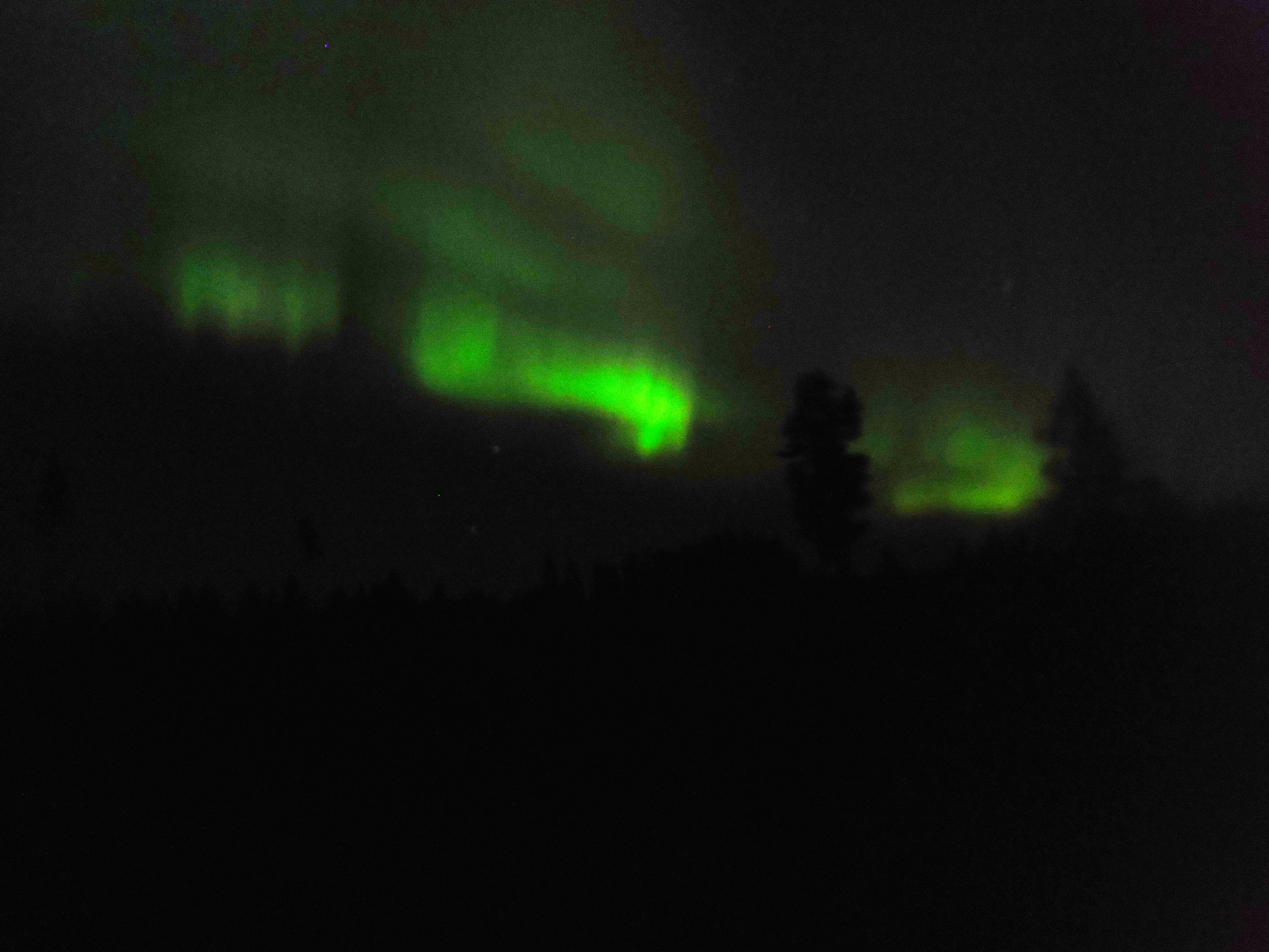
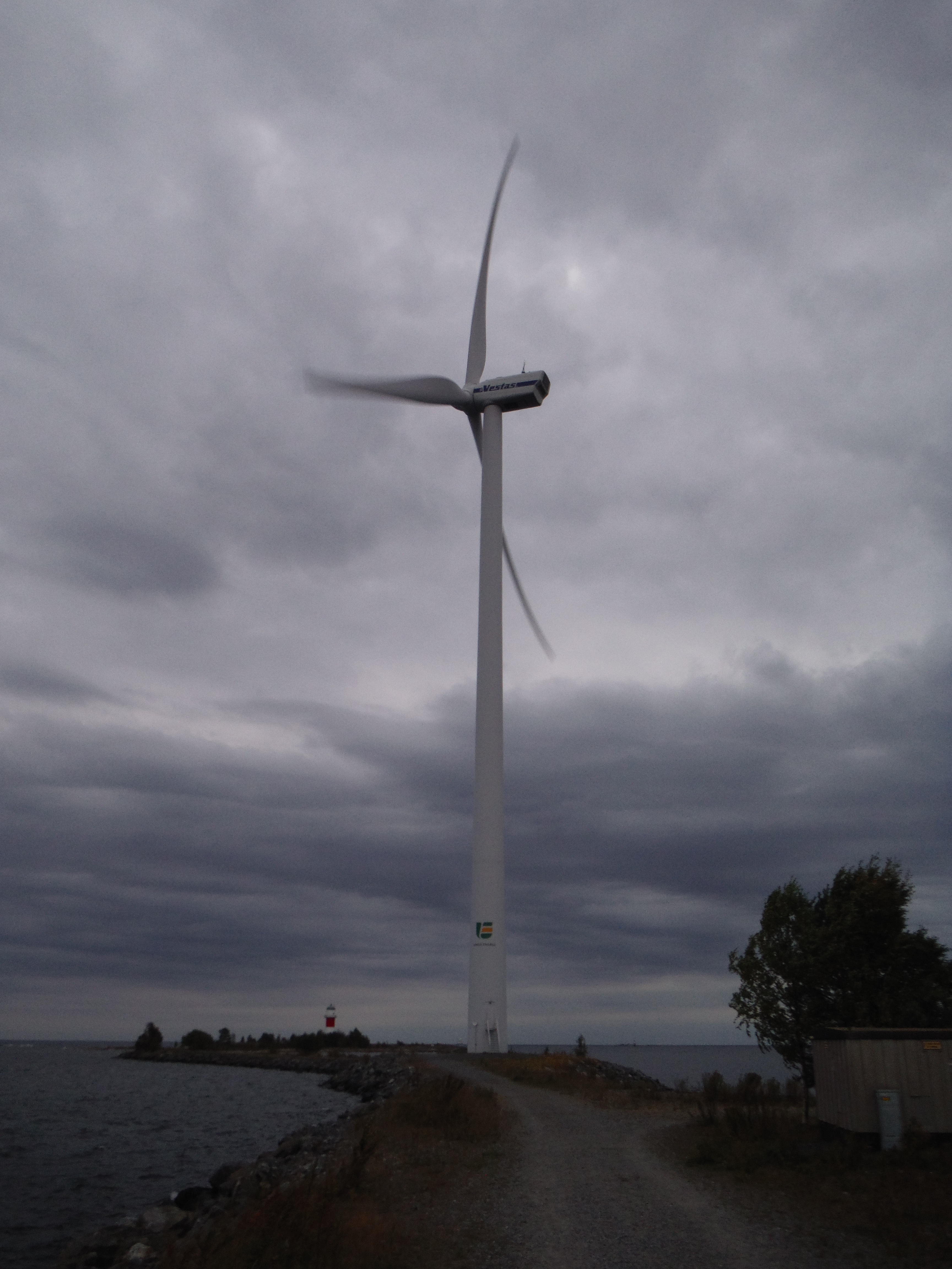
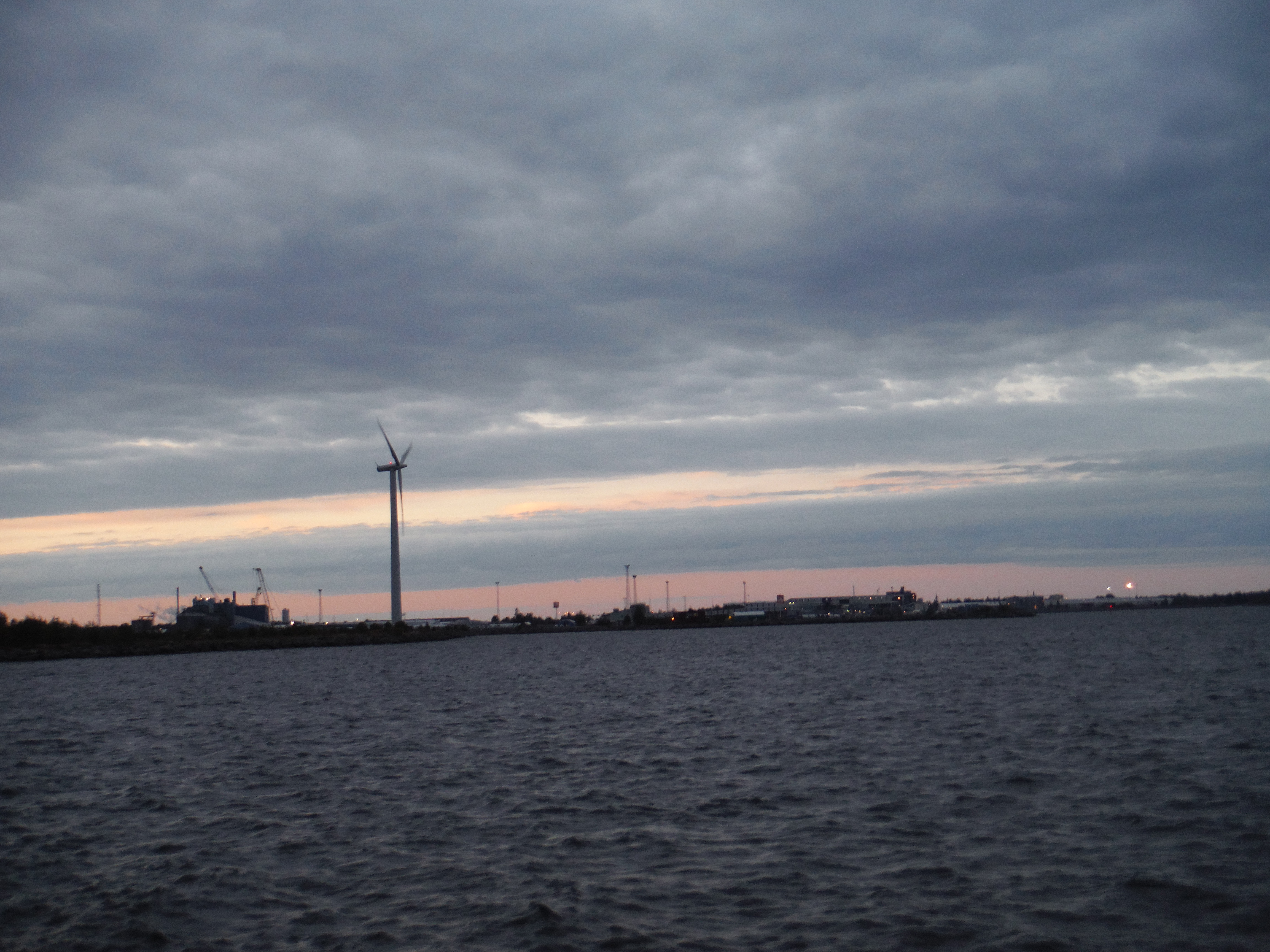
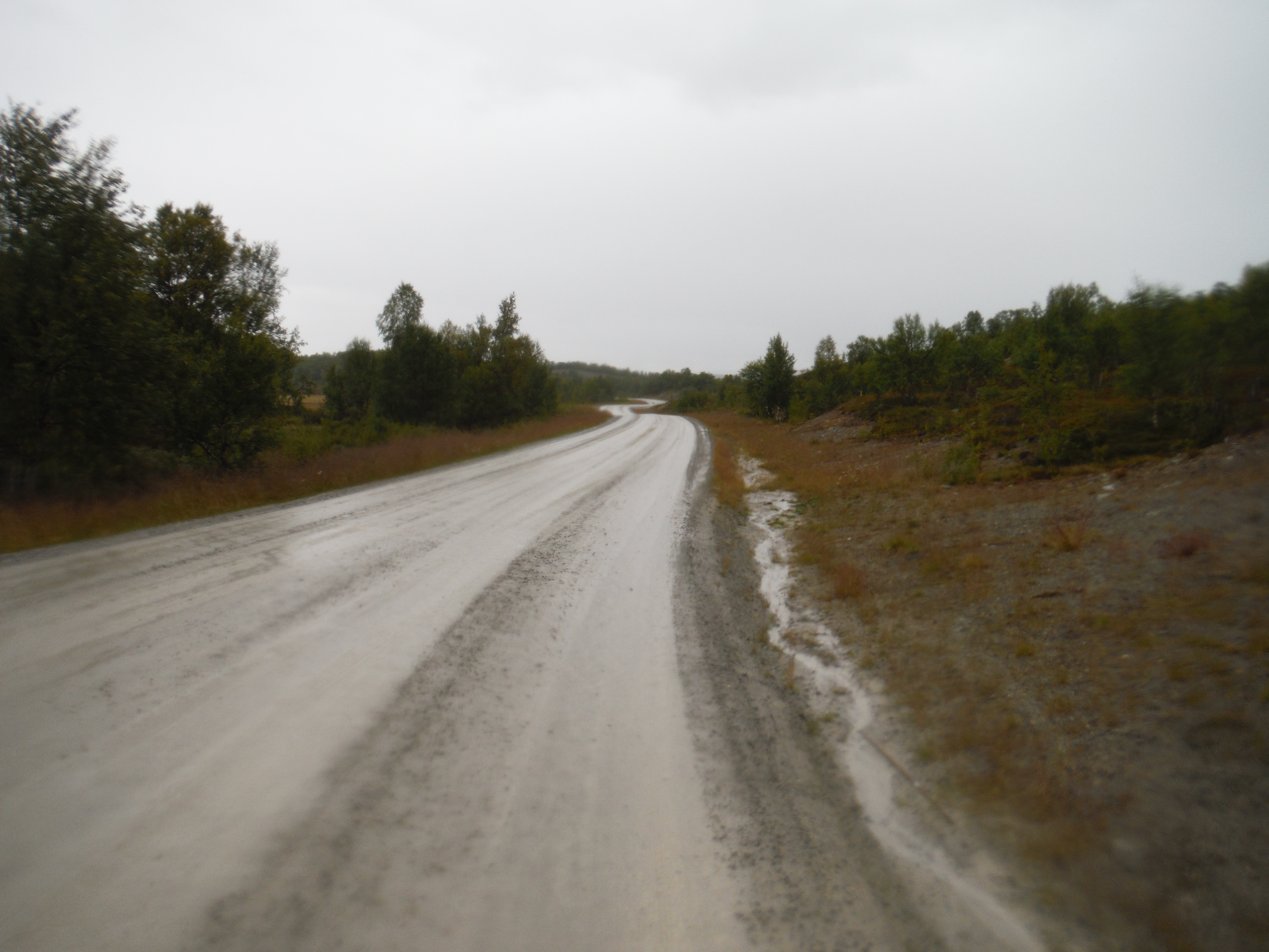
Utanede, SuèdeCoucher de soleil sur mon campement – Bispgården.petit dej’Ångermanälven – KrångeIl y a de rares champs près des hameaux – SelsjönSelsjönSelf shot – Hälla – SuèdeLa route … Hälla – Suèdeaurores boréales ! En réalité c’était plutôt blanc, mais mon appareil n’est pas assez bon pour des photos de nuit… Hälla – SuèdeLa route … Åsele, SuèdeBivouac – Åsele, SuèdeFredrika, SuèdeAu travers des fôrets, après le pluie.UmeåVent sur la jetée, Holmsund – port d’UmeåLe port d’Umeå, mon dernier bivouac de Suède
This article is in english as I want locals to understand. Désolé pour ceux qui ne comprennent pas l’anglais. And the ones who don’t know french will be happy !
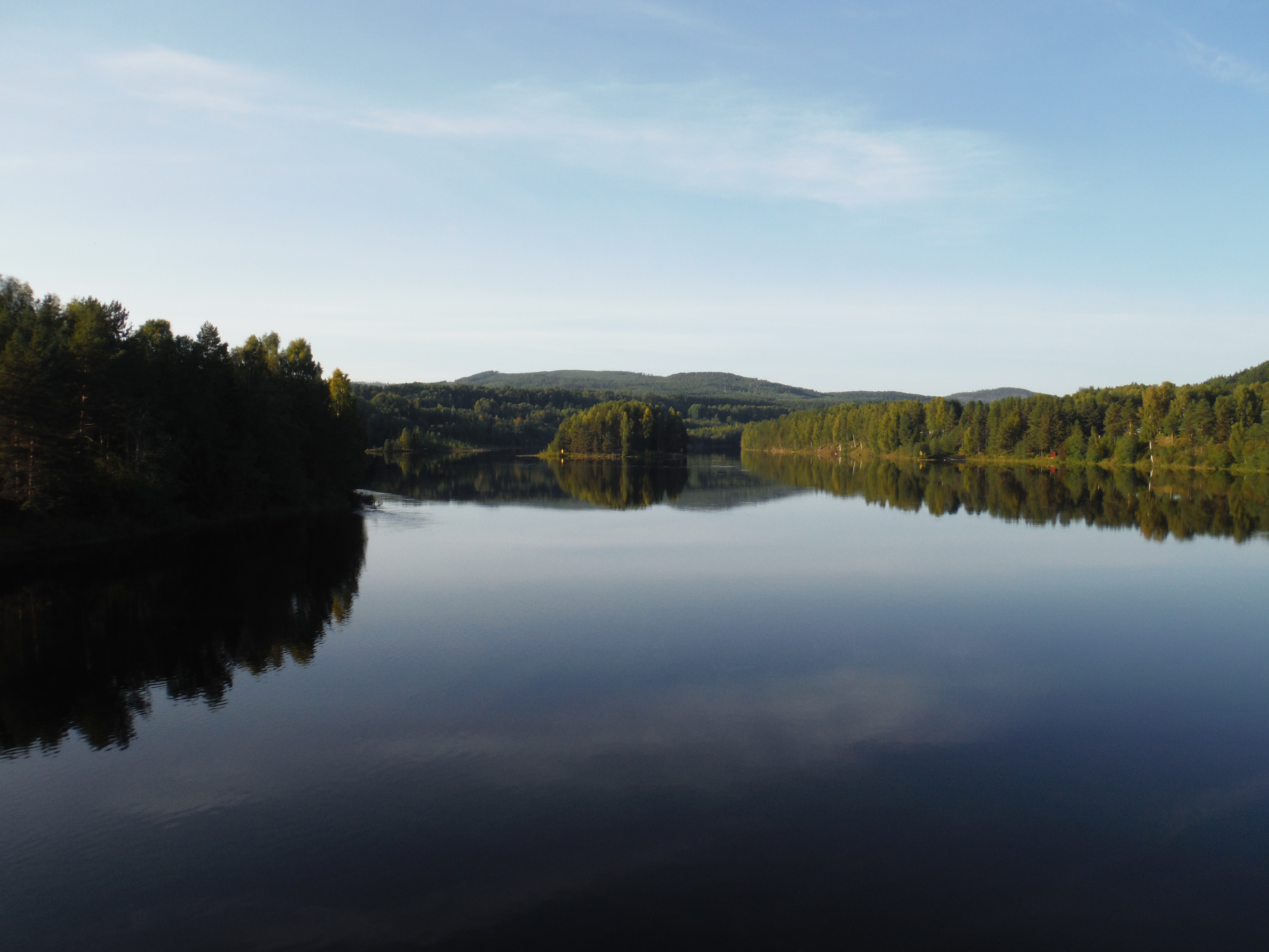
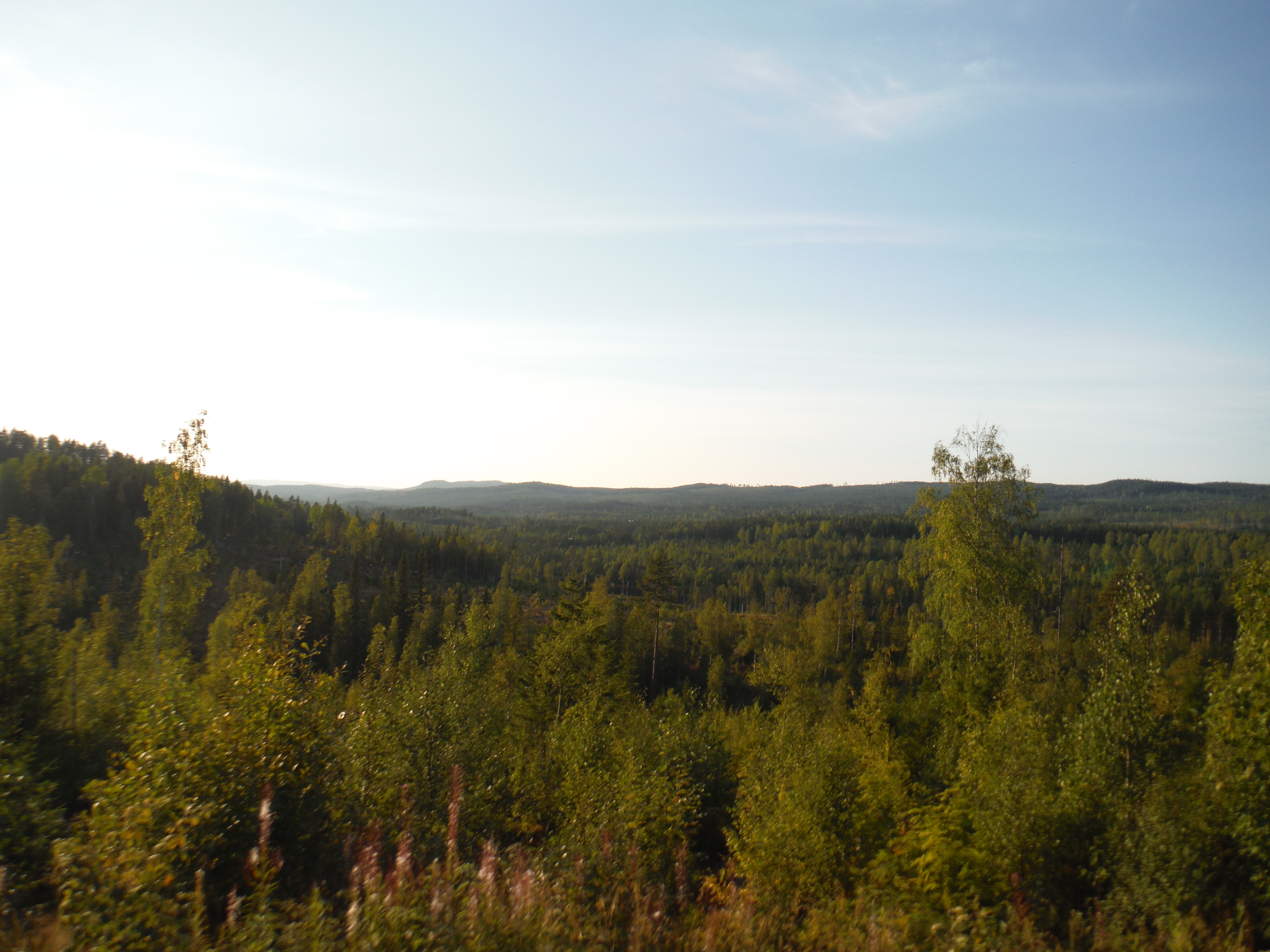
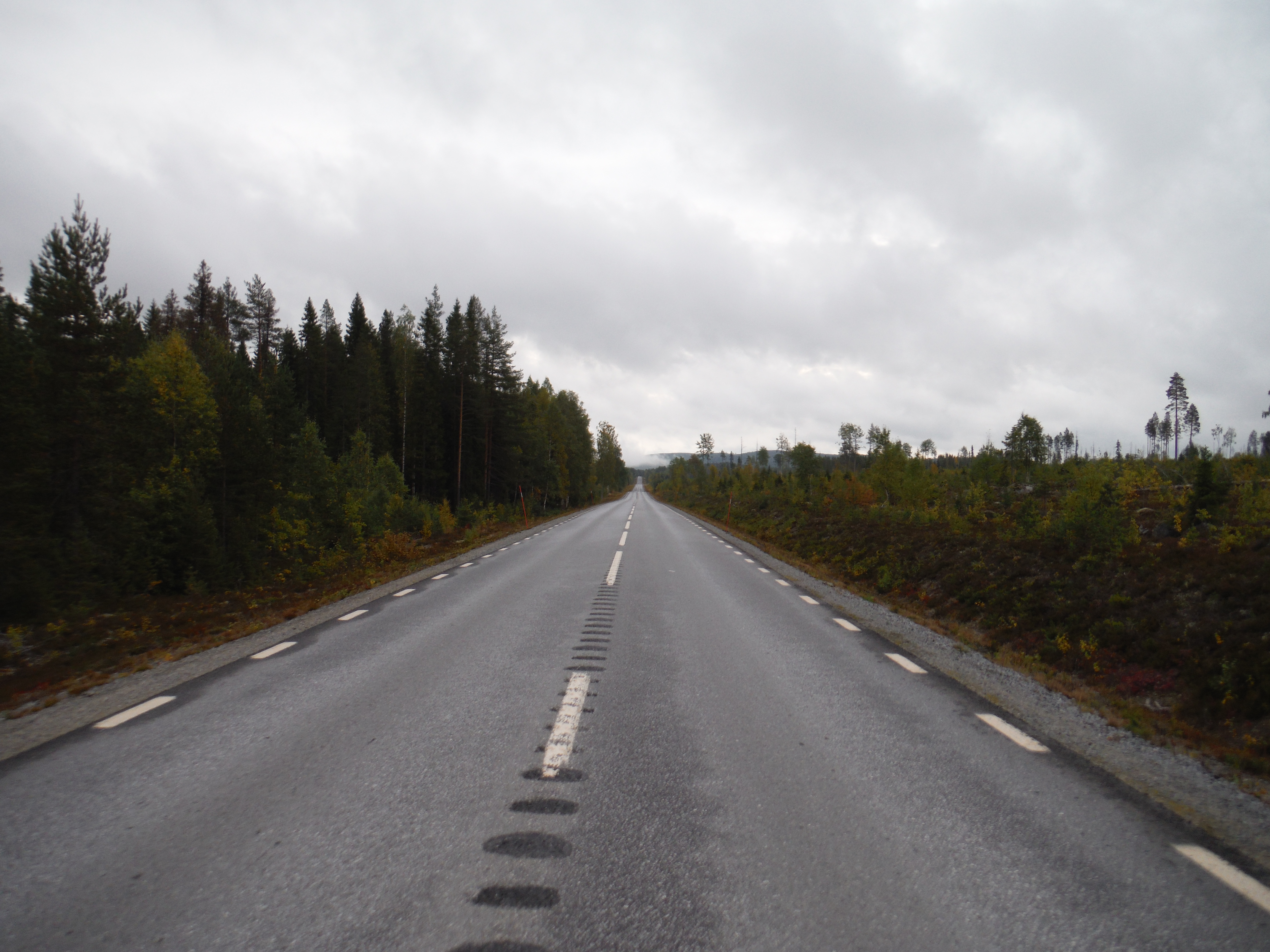
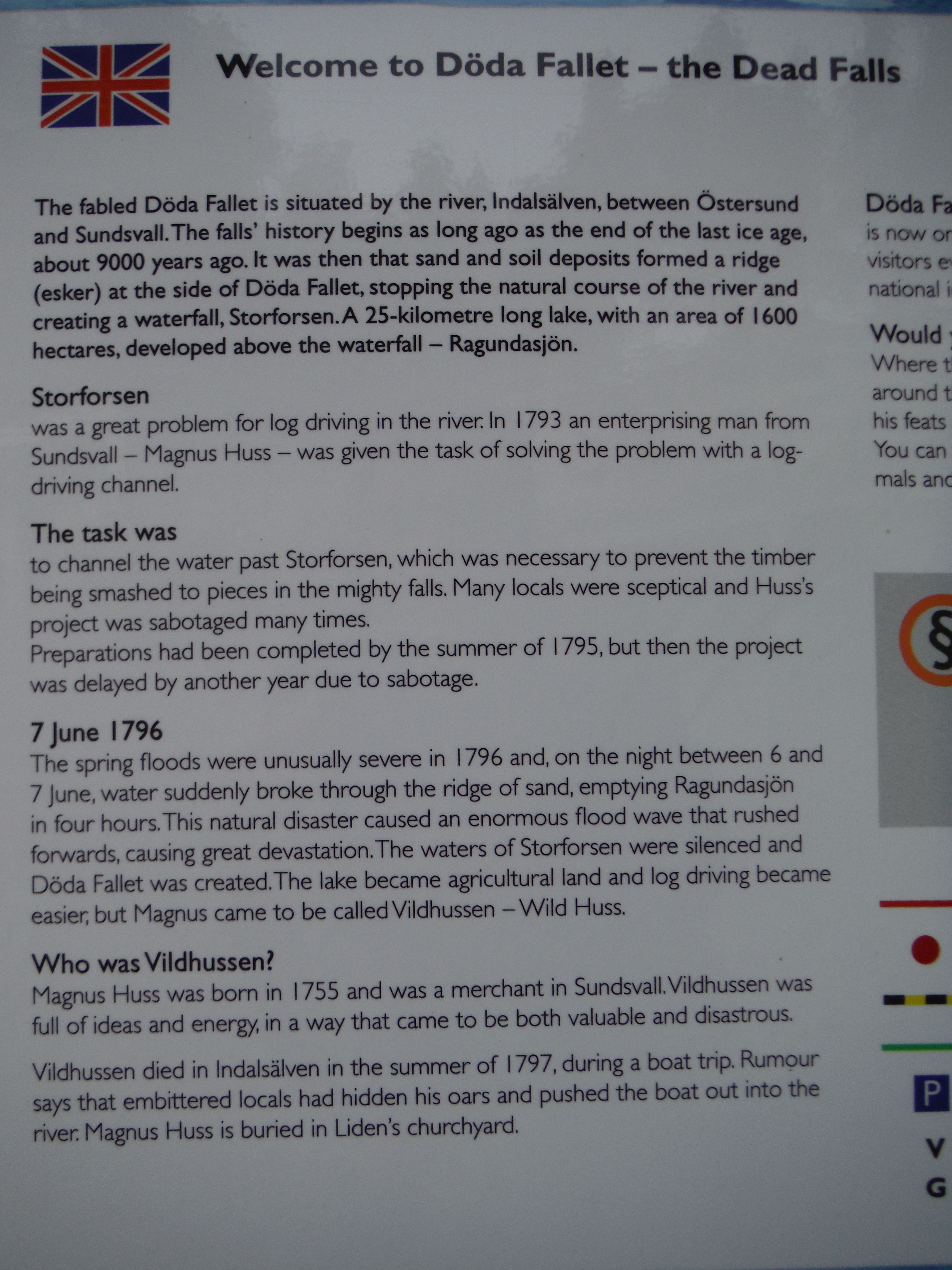
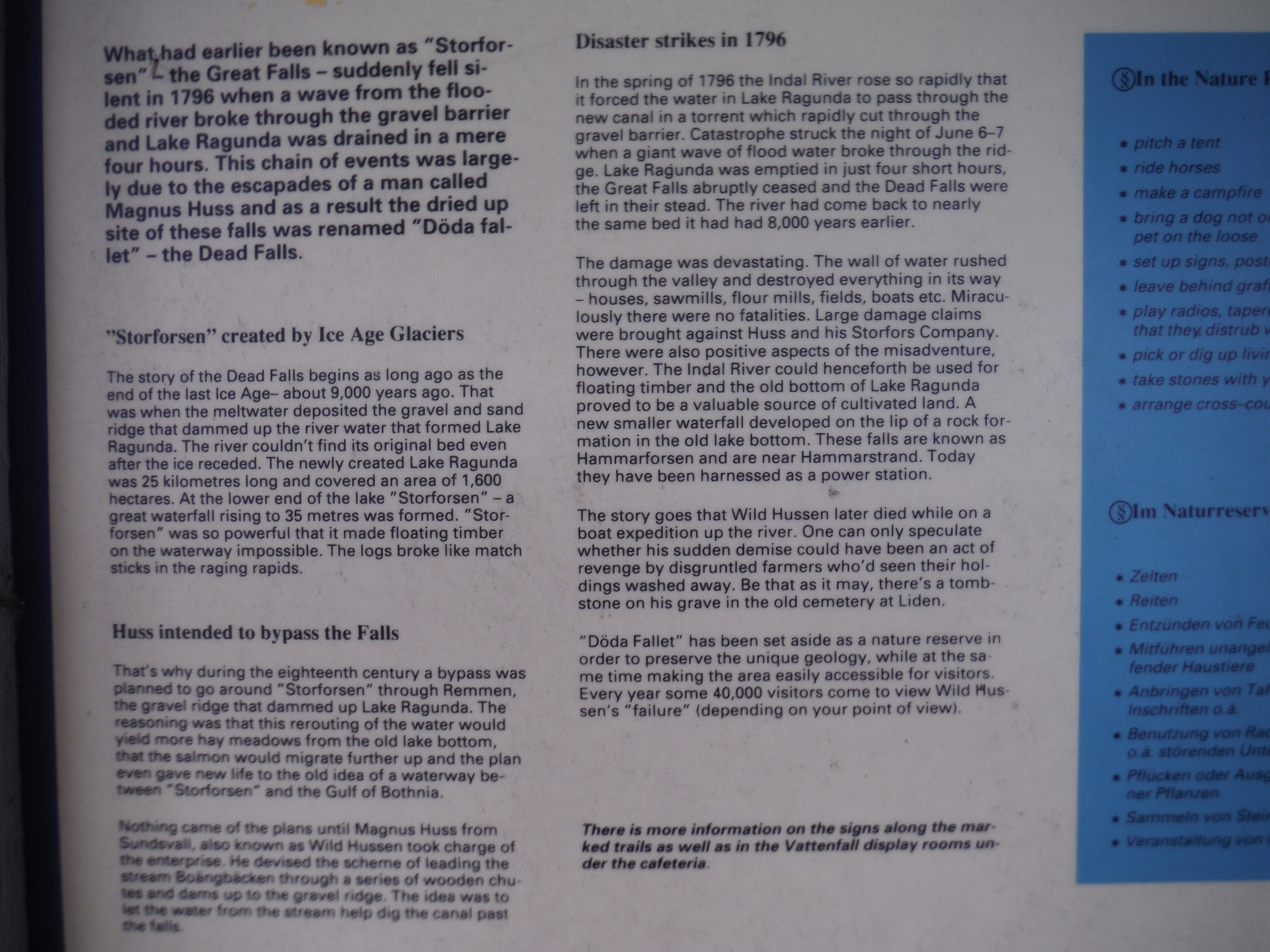
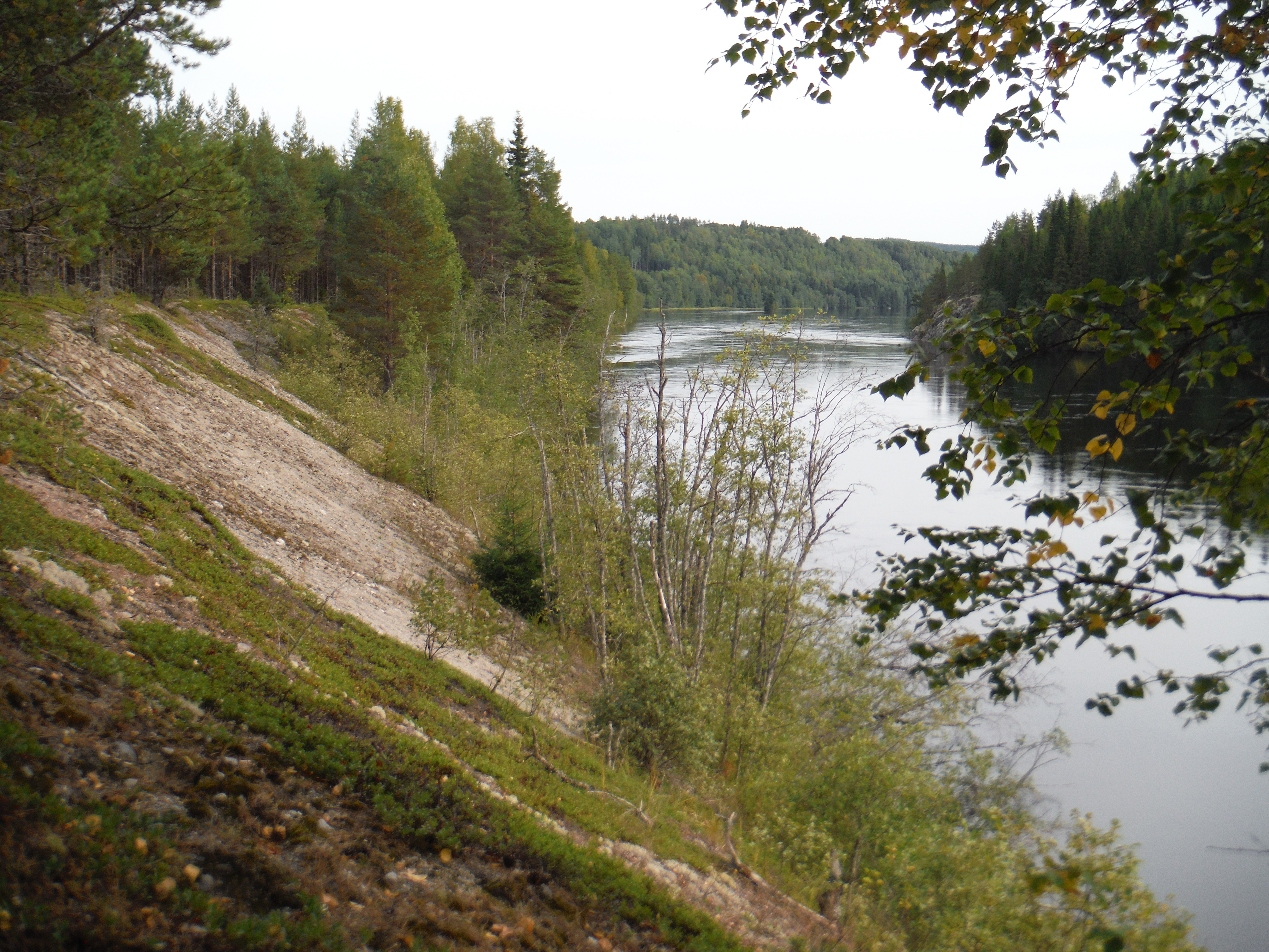
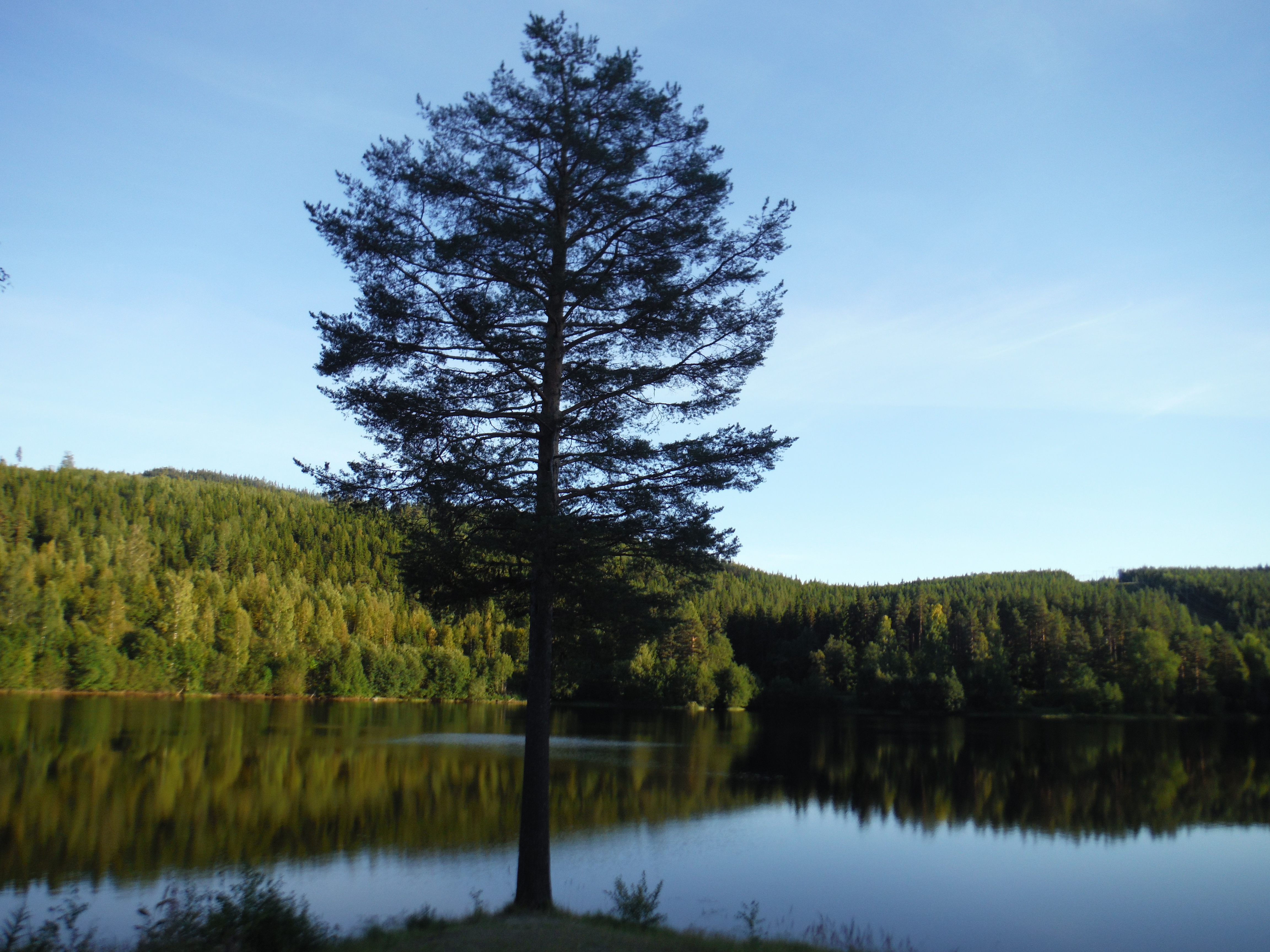
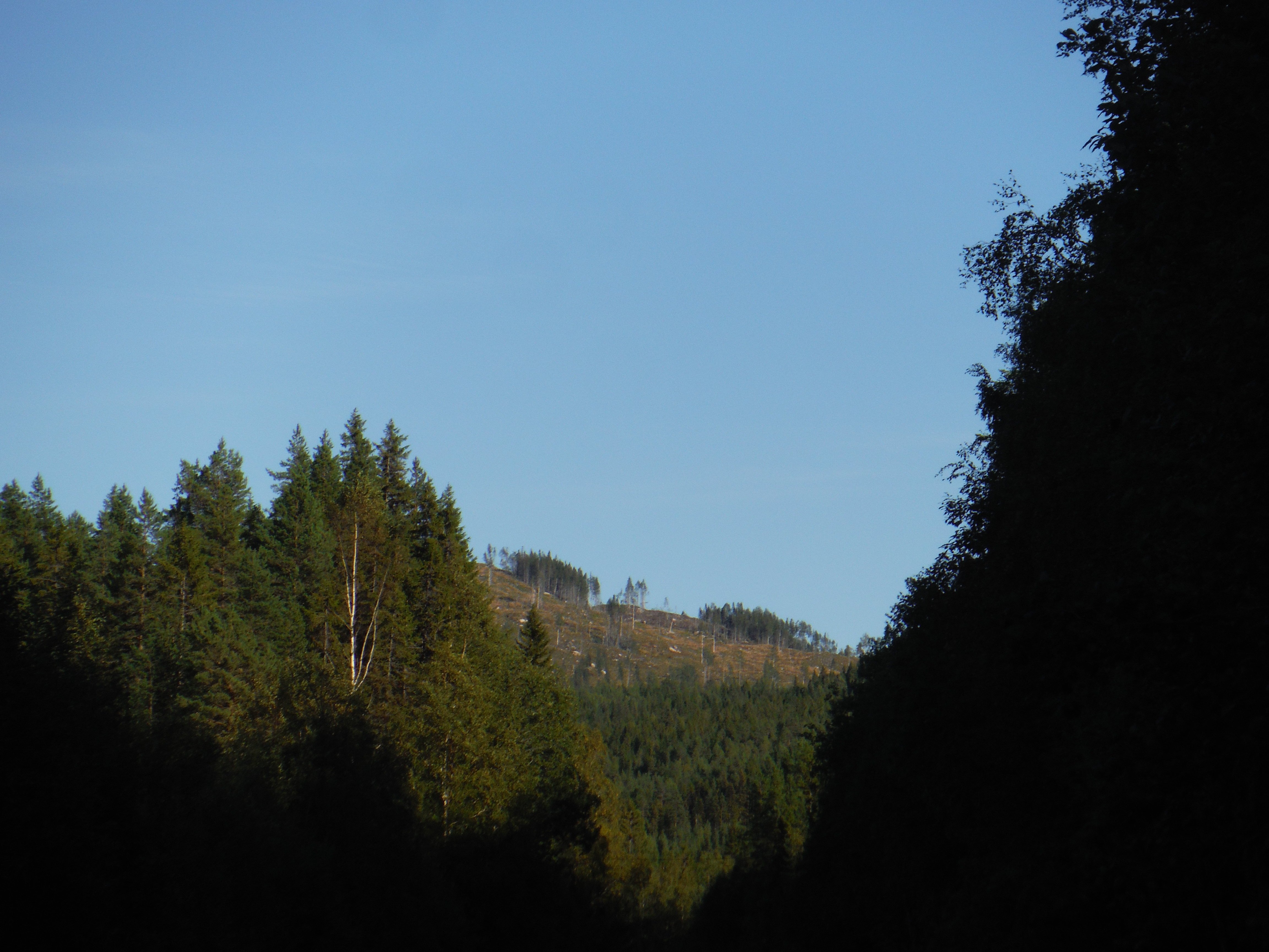
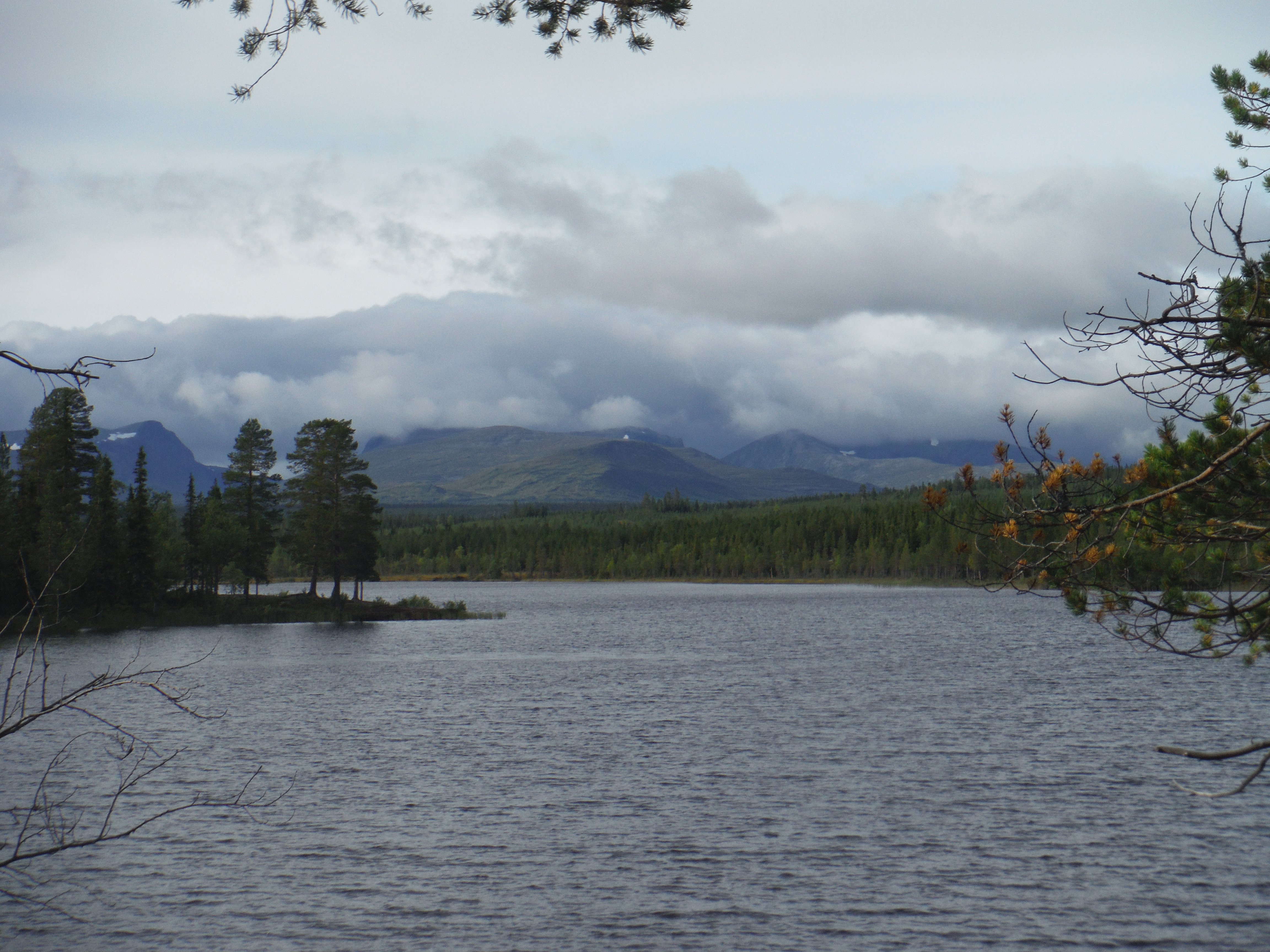
After Östersund, I am not anymore in the mountains. I am now riding accross hills cover by forest of pines, firs and birches. Between these hills, there are numerous big lakes.
All these landscapes have been formed by glaciers during the last ice-age. More of the lakes are long and narrow in a valley and retain by the front moraine of the old glaciers. The moraine hills, formed of sand and gravels, prevent the river to flow, and a side pass have been found by the water, creating waterfall on the rocks.
This was the case on the Ragundasjön, which ended by strong rapids. Here, forestry have been a main activity from centuries. And people used the water stream to carry the wood downstream. The waterfall was then a main problem as it breakes the trunks. The, people were trying to create side pass for the wood, in order to prevent the trunks to break in the rapids.
Let’s read some more explanation on this picture…
This is not a picture….
The same, with more details…
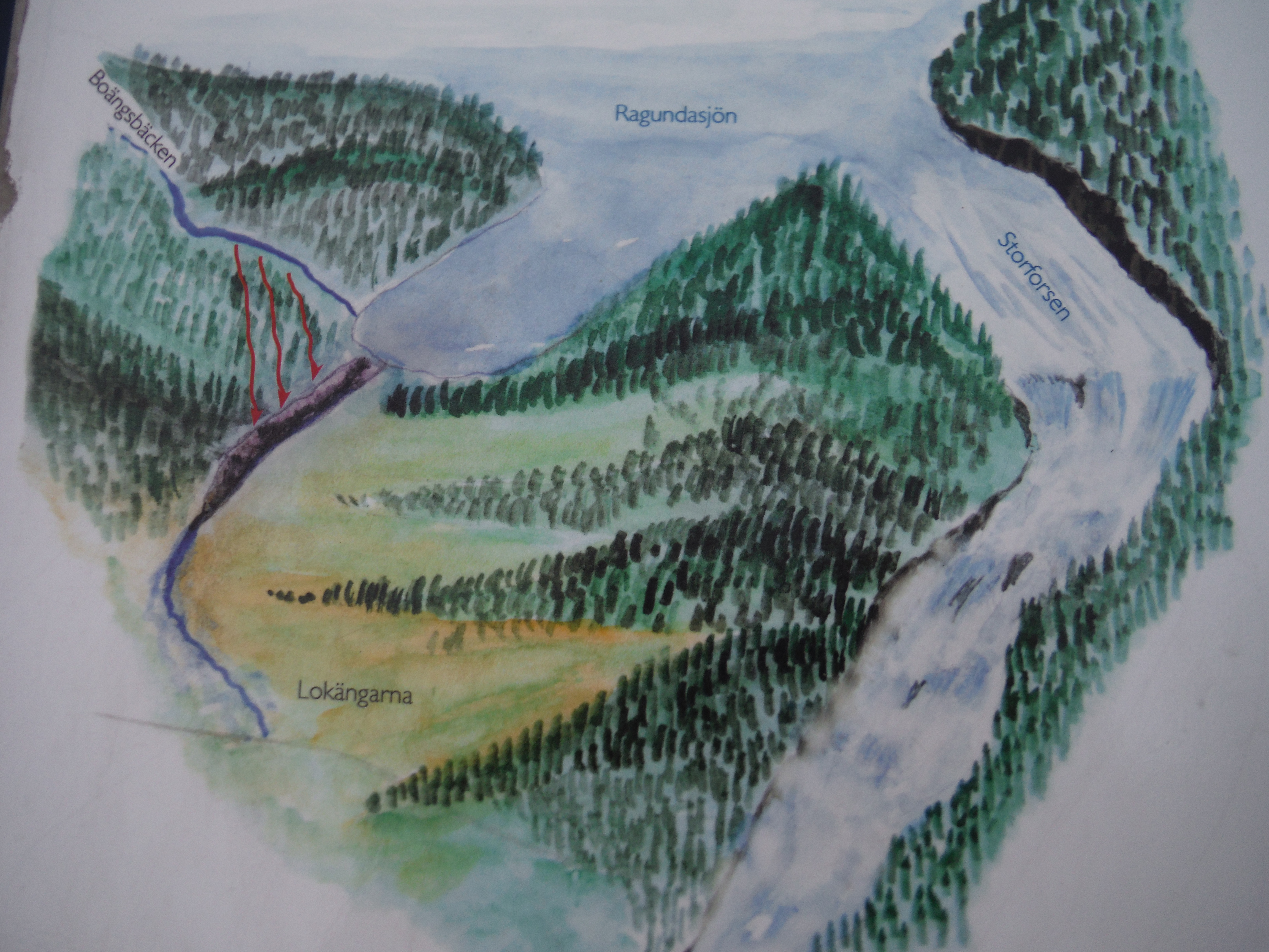
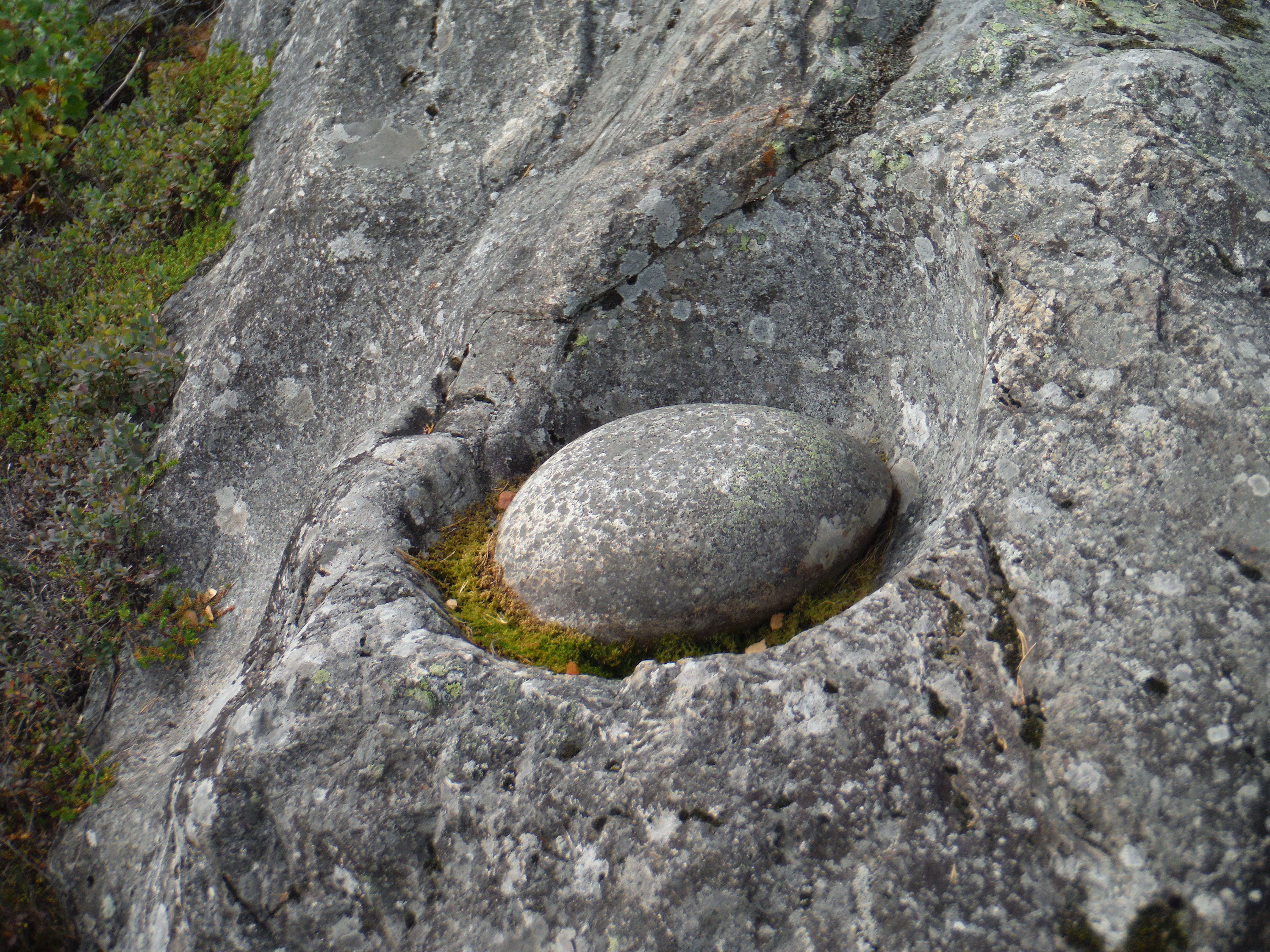
The ingeneer Vildhussen, has the smart idea of using the stream of a small creek to erodate the moraine.
the used of the Boängsbäcken creek to erodate the moraine (red arrow).
But during the floods season of 1796, the water began to take the side pass created for the wood, eroding more deeply the moraine. And the lake was emptied in 4 hours… flooding all the land downstream.
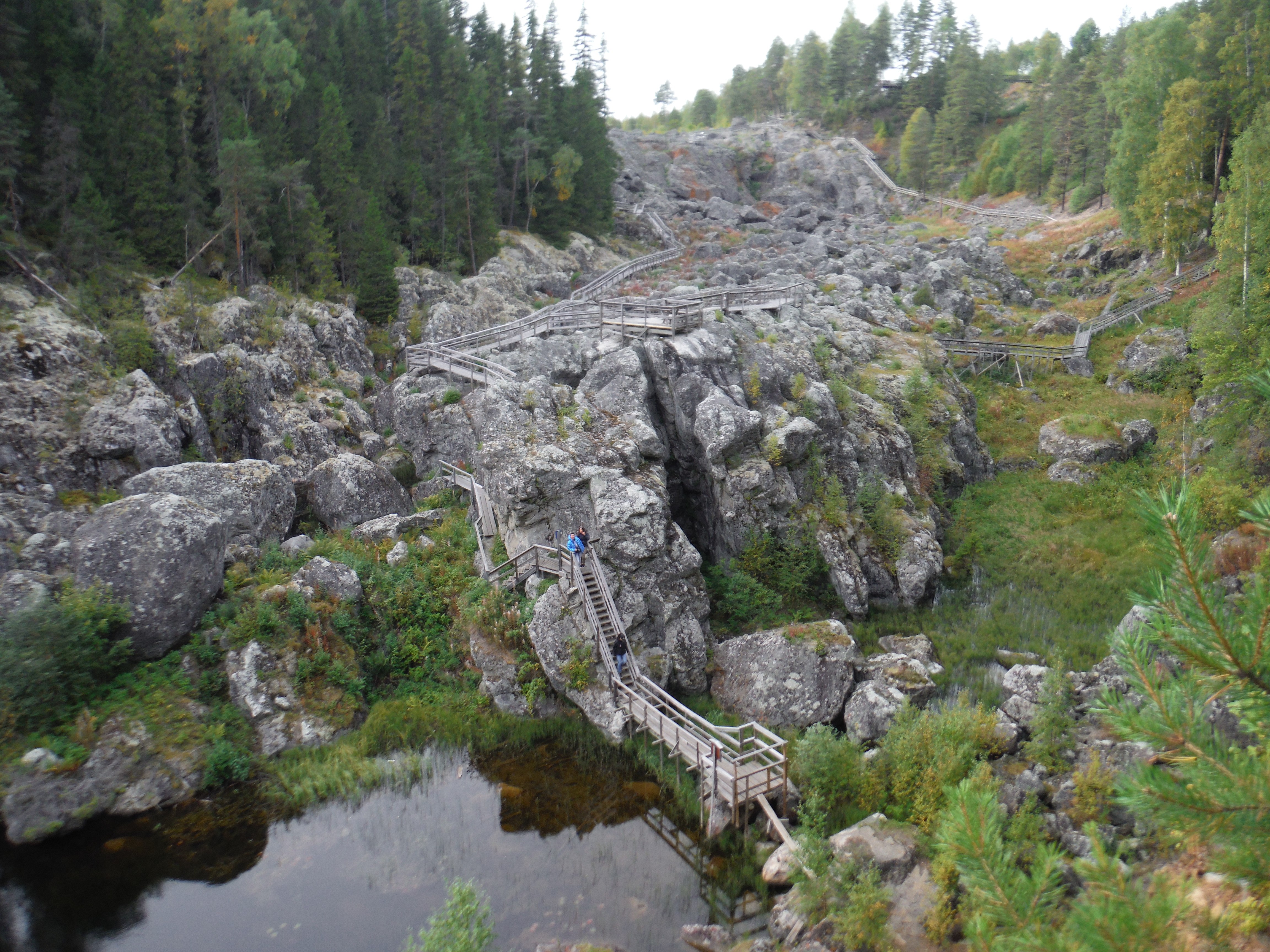
Now the waterfall do not exist anymore, and the rocks the water was falling on are called the dead waterfall.
The Dead WaterfallRiver vortex erosionThe actual river channel, and on the left, the terrace made from the deposition of the lake sediments during the « catastrophe »
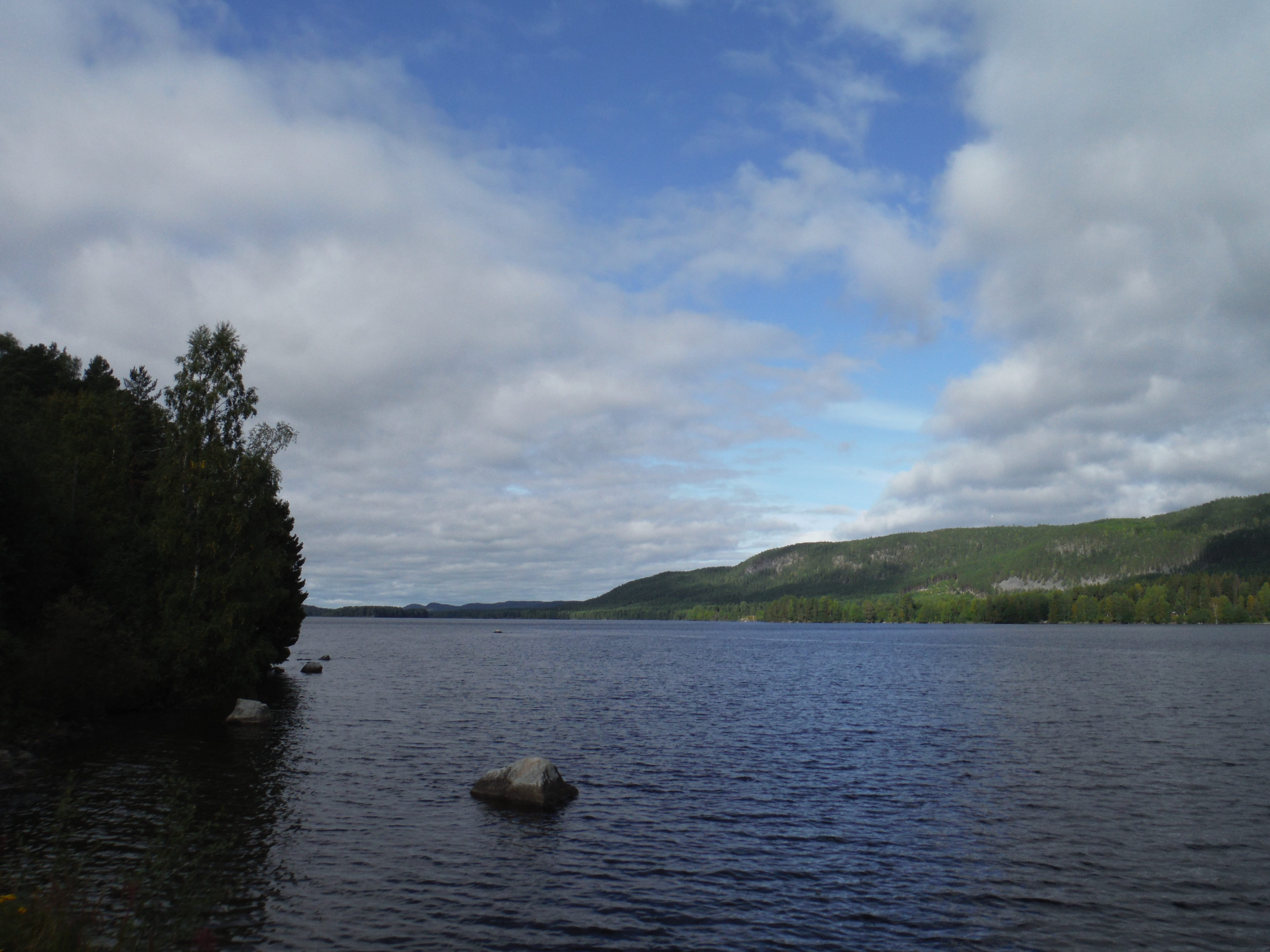
This is an old story but… There is an other lake upstream, the Indalsälven, with a similar geology.
Indalsälven, Åre, Sweden
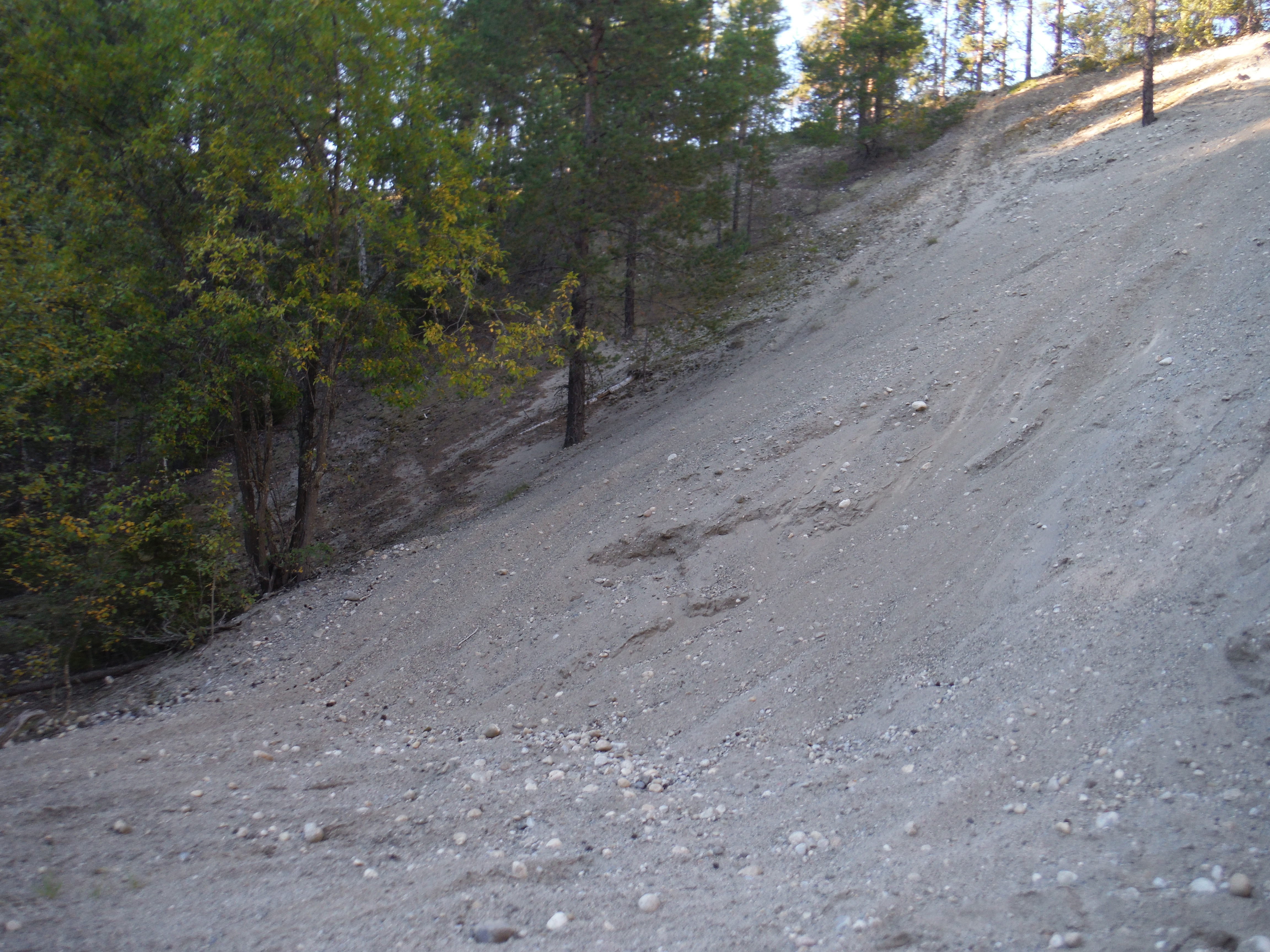
The Indalsälven is retained downstream by a moraine. This moraine is formed by a serie of small hills and several small lakes in the between. These hills are not high up of the lake level, only some meters, and are formed by sand and gravels. These could be eroded easily…
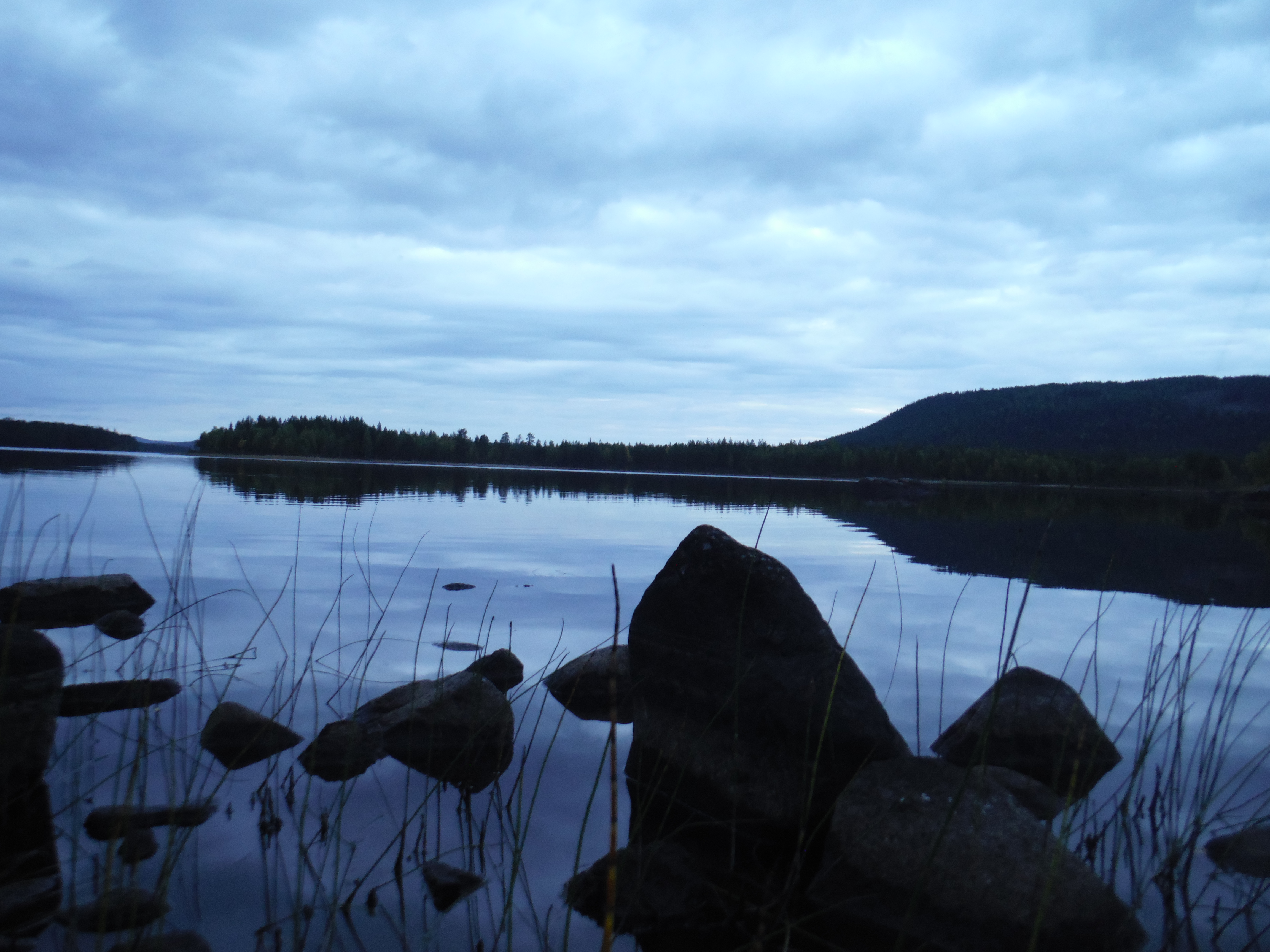
Erosion of the morainic hillsProfile of the soil forming on top off the moraines.One of the small lakes between the moraine hills – I camped there !-
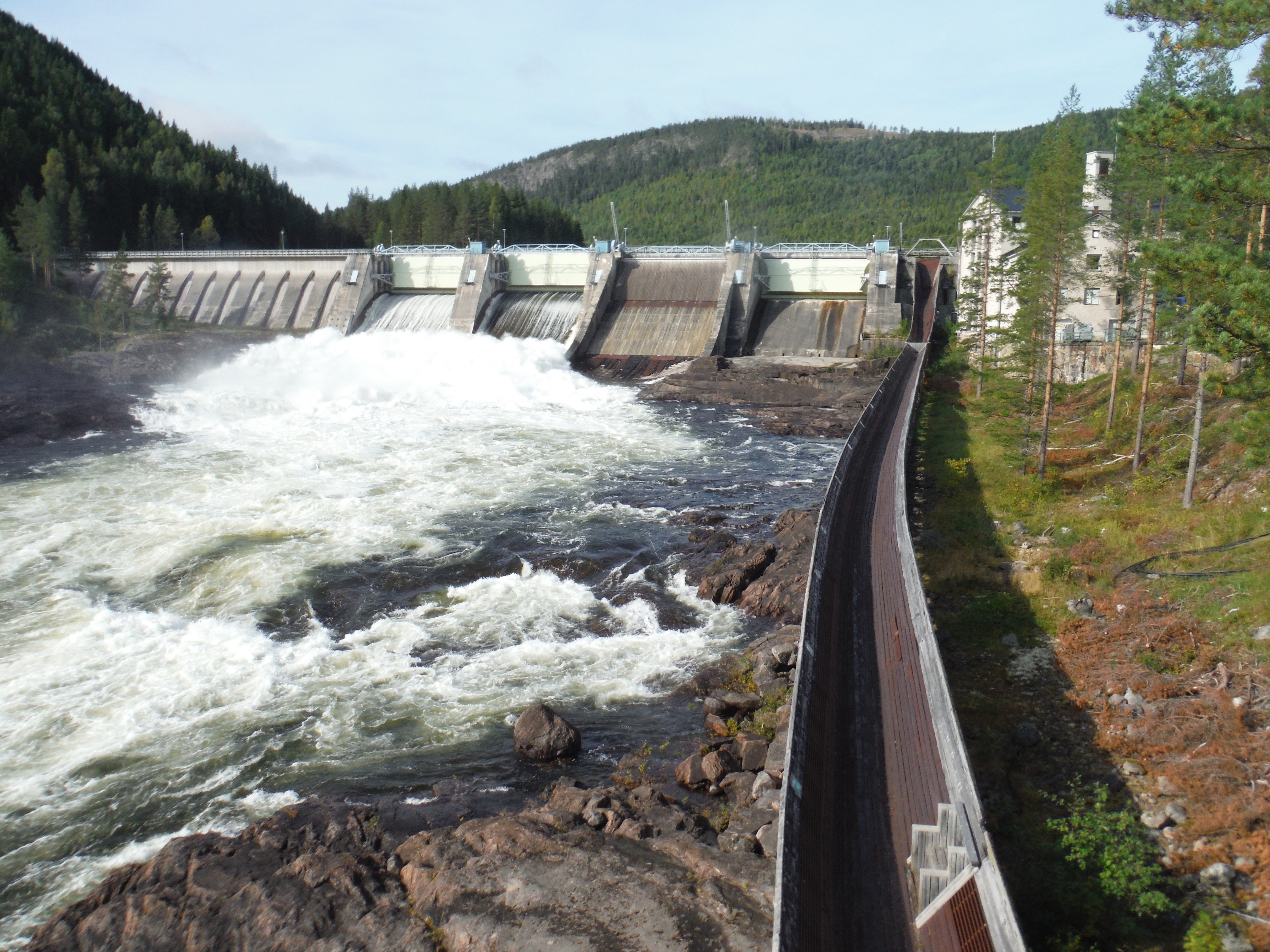
But today, we don’t use anymore the water stream to carry the troncs, we use trucks. We do not employ anymore a lot of people to cut the trees, we use heavy machines. And theses heavy machines erodes soils…
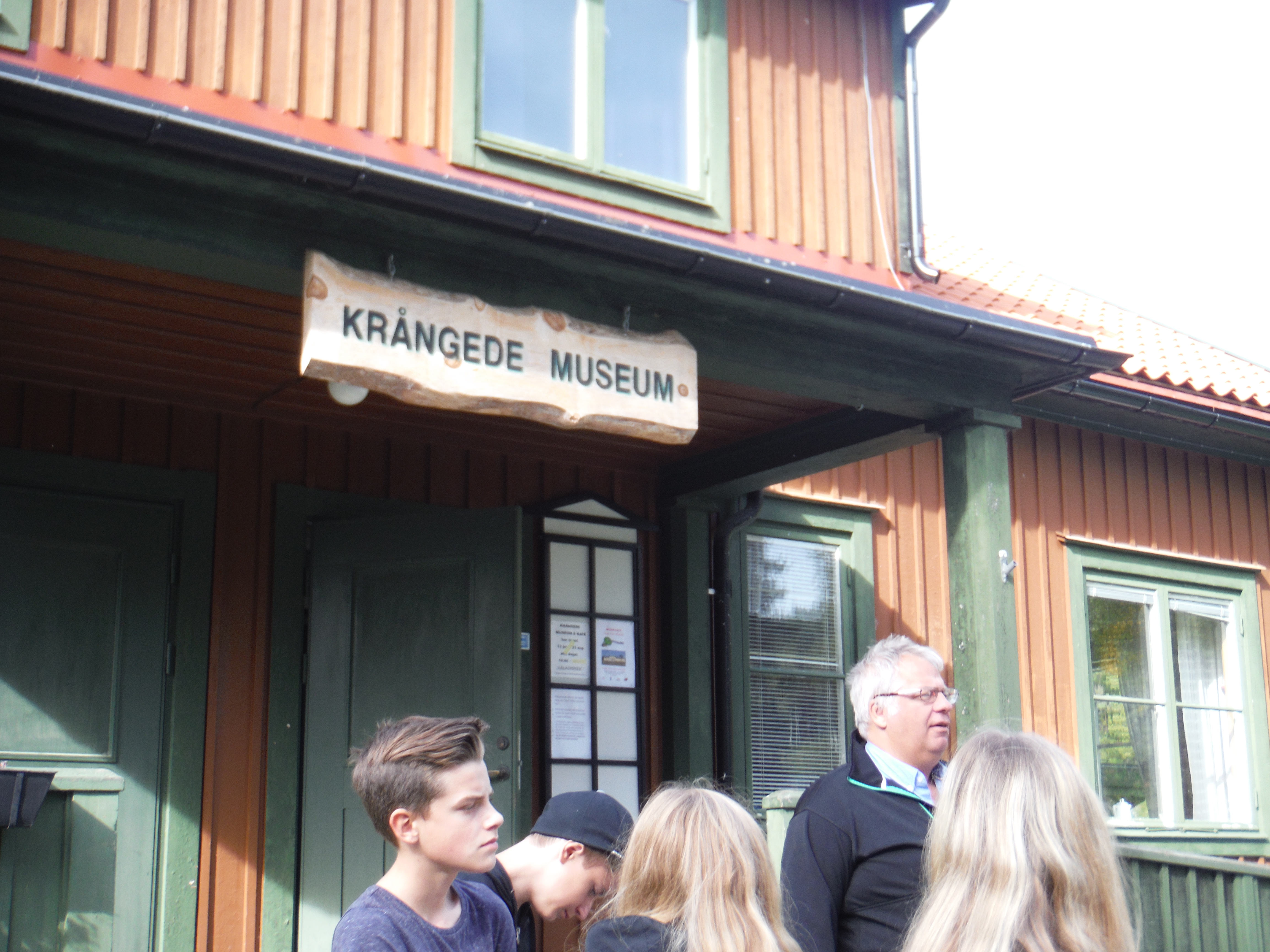
Here, when we cut the trees, we cut all the trees ! And then we plant new ones.A tractor pass in teh moraines.The rapides downstream Indalsälven.This dam regulates the discharge out of the Indalsälven between the rapids and an underground hydropower plan. When water flow is low, all the water is taken for electricity and no more water pass in the rapids. On the right you can see a pass for the wood.Visiting a small museum about the hydropower plant construction and the history of the area, with a class and my nice and funny guide !
Today the environment agency on the swedish gouvernment assess there is a risk that the story of the dead waterfall heppens again, with Indalsälven, because of the forestery erosion… The newspaper telles about the risk of erosion of the Indalsälven moraines, and the restrictions taken by the gouvernment to prevent it. (you can use google translate to get it in bad english or ugly french). onsite, we do not see so much, just what I tells, the hills are not high and are subject to easy erosion… Some geophysical studies may be needed in order to know how deep is the bedrock and better assess the risk.
There are basically nobody in these hills to ask about their perception of the risk. My guide in the museum does not looks to feel the risk is so huge.
J’arrive en Suède à Funäsdalen. Là j’apprend qu’il y a une petite route dans les montagnes qui va vers Östersund, où j’a iprévu de visiter des gens de WarmShowers. Cette petite route est la plus haute de Suède, près de 1000m, c’est à dire 300m au dessus de la limite des arbres… Je n’hésite pas et je monte ! Avant même que je soit en haut, je me fais rattraper par le pluie et les nuages. Je n’ai aucune vue ! Le landemain après midi, alors que je suis plus bas, le temps se dégage un peu… Je continue ma route et arrive à Östersund le 7. Je passe un bon moment avec mes hôtes suédois !
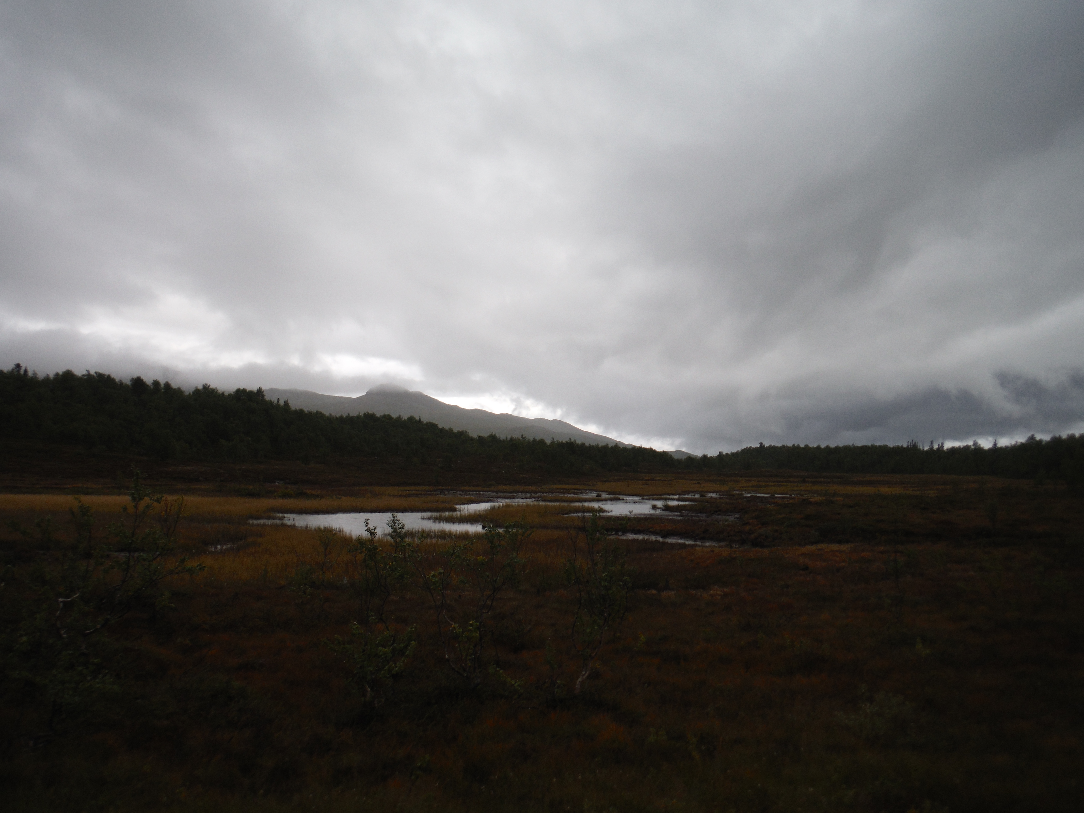
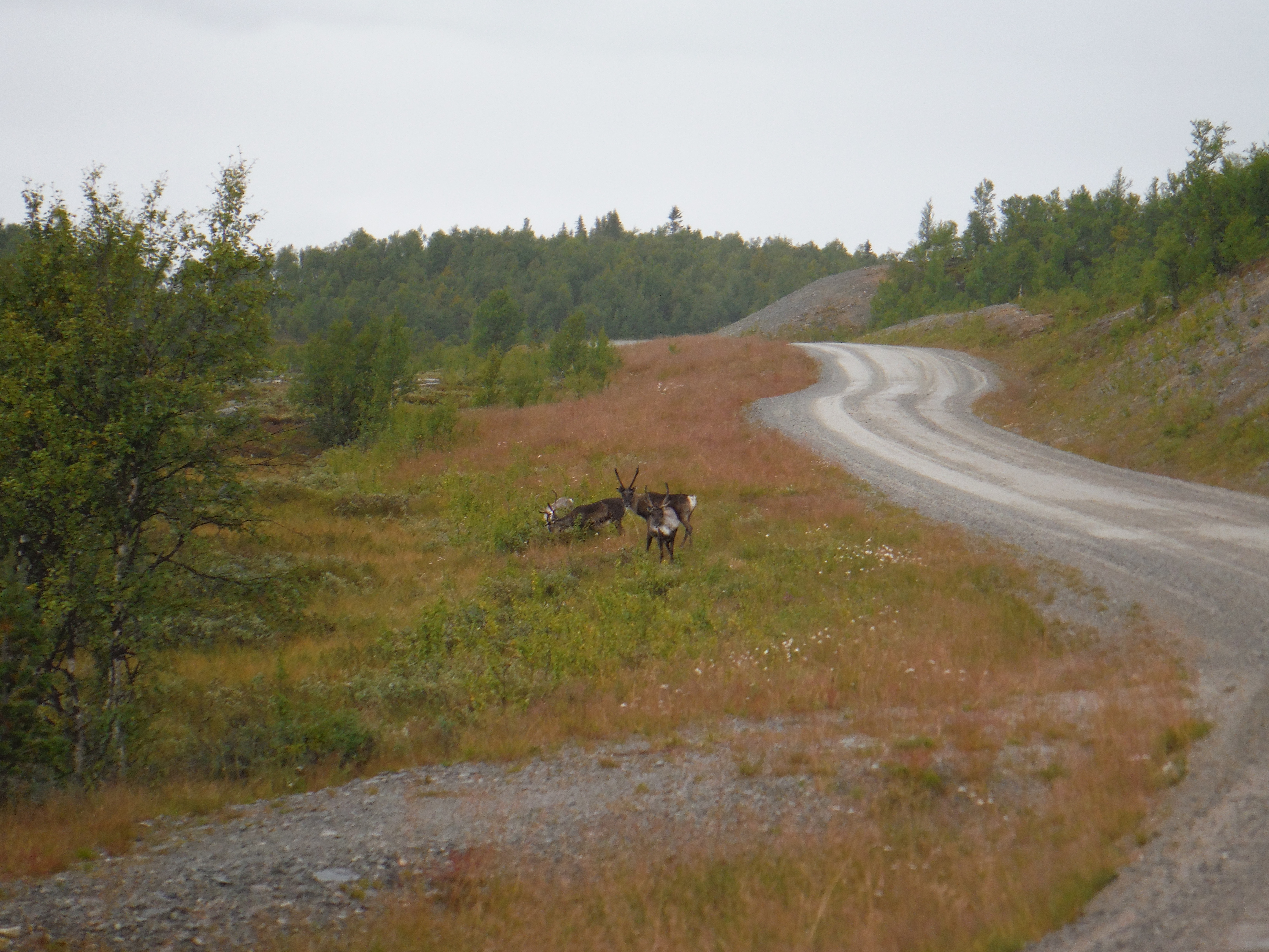
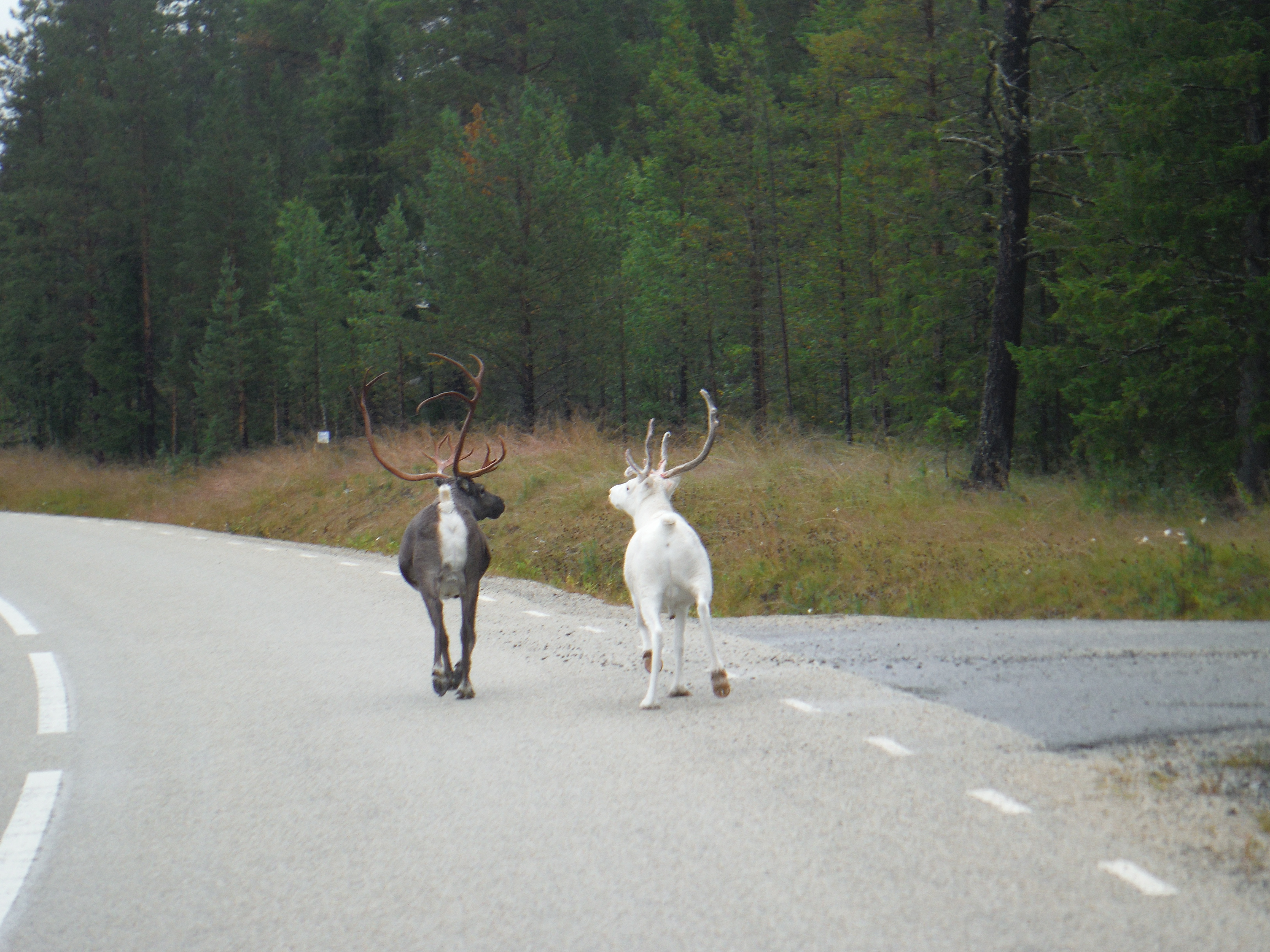
Pluie, vent…et mauvais tempsDans les montagnesAu pays des rennes.Le 5 septembre, le temps se dégage.hameau de montagne – vers Börtnan.La plaine s’ouvre, je descends des montagnes vers les lacs et les collines…Une église, la tour est daté de 1751 – OvikenLe StorsjönL’arrivée à ÖstersundÖstersund